Jasper – Miette Canyon and Hot Springs
The Miette Hot Springs area lies in the remote northeastern reaches of Jasper National Park, reached by a winding road that follows the Fiddle River valley into the mountains. Limestone ridges rise sharply above the forested valley, while the river and its tributaries cut through narrow rocky passages on their descent toward the Athabasca River. The journey through the Miette area reveals a quieter side of Jasper, where steep canyon walls, forests, mountain streams, and broad views of formations such as Ashlar Ridge create a landscape distinctly different from the park’s busier central valleys.
For thousands of years, Indigenous Peoples travelled through and used the Fiddle Valley, including its naturally heated mineral springs. By the nineteenth century, Indigenous knowledge of the springs had also brought them to the attention of fur traders and other newcomers. Access remained difficult until the early twentieth century, when trails and primitive bathing structures began appearing near the springs. In the 1930s, construction of a mountain road and a permanent bathhouse transformed Miette into a developed national park destination. Remnants of the original bathing complex remain farther up Sulphur Creek, preserving traces of an earlier era of recreation in the Canadian Rockies.
Today, Miette Hot Springs are the hottest natural mineral springs in the Canadian Rockies, emerging from the mountain at approximately 54°C (129°F) before being cooled for bathing. The springs form the centerpiece of a remarkable mountain setting where geology and water continue to shape the landscape. Trails lead past the ruins of the historic pool to the source of the springs, while the surrounding Fiddle Valley provides access to mountain scenery and the remains of the former Pocahontas coal-mining district. Together, the canyon, mineral springs, historic remains, and rugged surrounding peaks make Miette one of Jasper National Park’s most distinctive combinations of natural and human history.
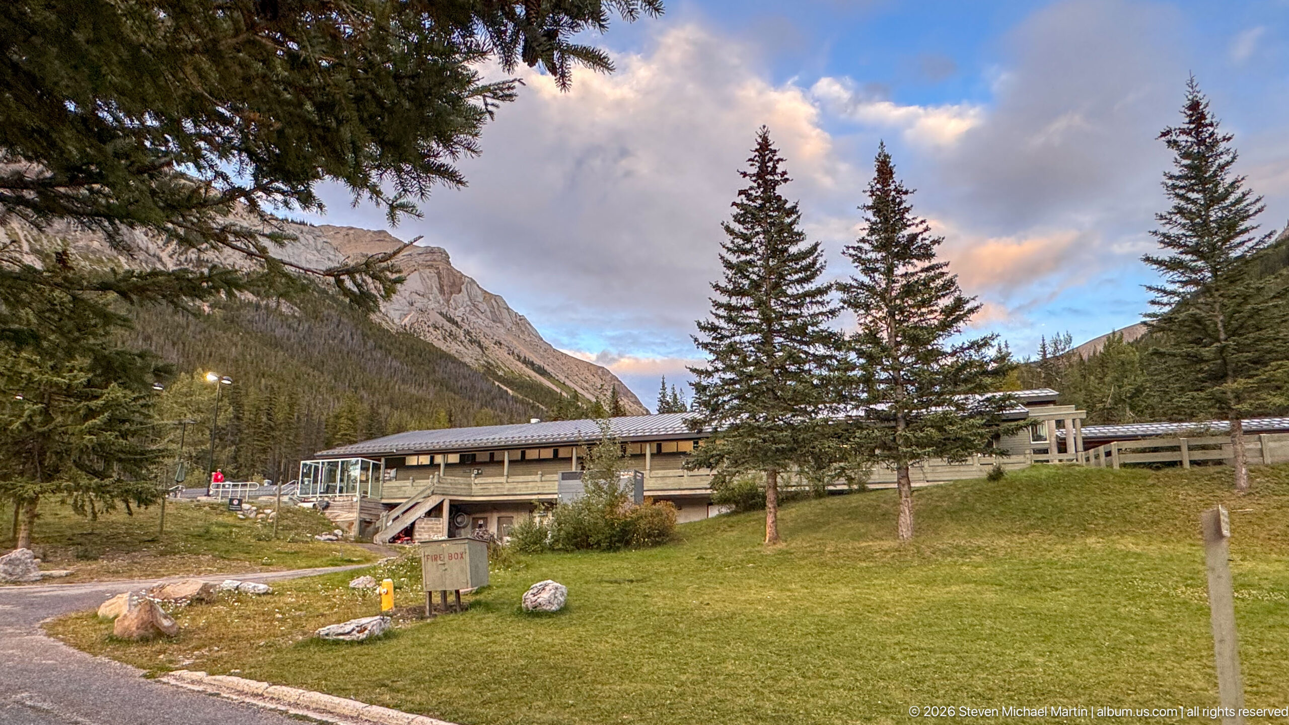
The Miette Hot Springs building stretches behind spruce trees and a broad lawn, with a rocky mountain ridge enclosing the valley beyond. Pathways, utility fixtures, and scattered boulders show the landscaped visitor grounds surrounding the low modern complex.
Caption
The Miette Hot Springs building stretches behind spruce trees and a broad lawn, with a rocky mountain ridge enclosing the valley beyond. Pathways, utility fixtures, and scattered boulders show the landscaped visitor grounds surrounding the low modern complex.
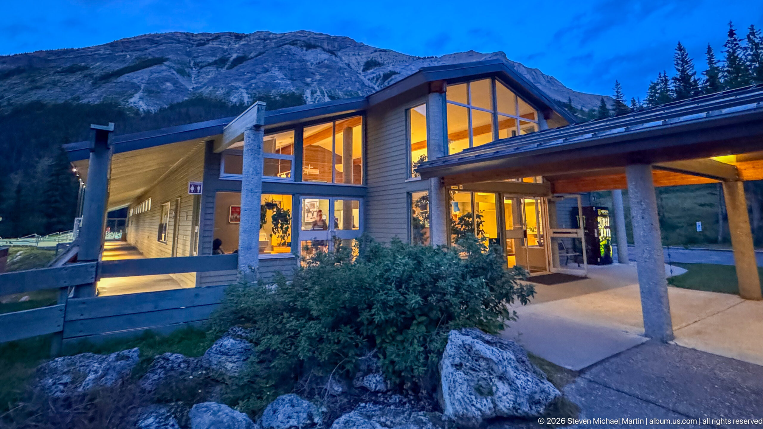
A peaked glass entrance glows warmly against blue evening light at Miette Hot Springs, framed by concrete columns, low shrubs, and a covered walkway. The steep mountain slope immediately behind the building reinforces the facility's compact setting within the Fiddle River mountain landscape.
Caption
A peaked glass entrance glows warmly against blue evening light at Miette Hot Springs, framed by concrete columns, low shrubs, and a covered walkway. The steep mountain slope immediately behind the building reinforces the facility's compact setting within the Fiddle River mountain landscape.
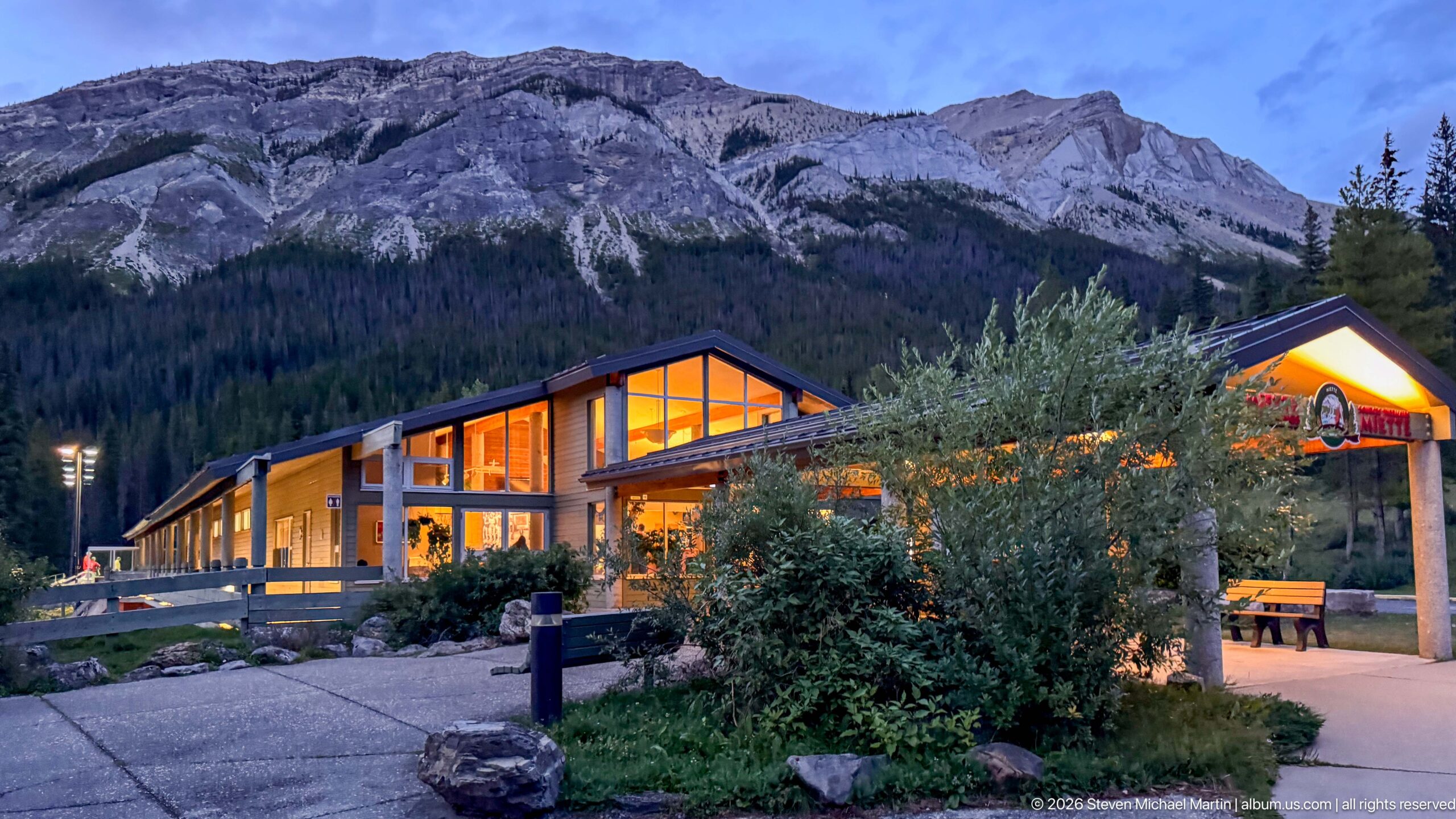
Warm interior light glows through the broad windows of the Miette Hot Springs building as evening settles over the surrounding mountain valley. The low modern structure sits beneath steep gray sedimentary cliffs, visually linking the developed bathing facility with the rugged landscape that supplies its setting.
Caption
Warm interior light glows through the broad windows of the Miette Hot Springs building as evening settles over the surrounding mountain valley. The low modern structure sits beneath steep gray sedimentary cliffs, visually linking the developed bathing facility with the rugged landscape that supplies its setting.
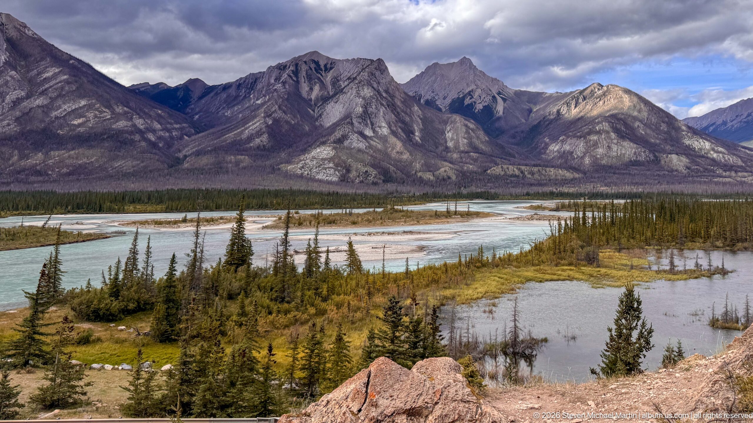
Multiple pale-blue river channels divide around gravel bars and vegetated islands across a broad mountain floodplain. Steep, exposed sedimentary slopes rise behind the braided system, showing how flowing water continues to sort sediment and reshape valley-floor channels within Jasper National Park.
Caption
Multiple pale-blue river channels divide around gravel bars and vegetated islands across a broad mountain floodplain. Steep, exposed sedimentary slopes rise behind the braided system, showing how flowing water continues to sort sediment and reshape valley-floor channels within Jasper National Park.
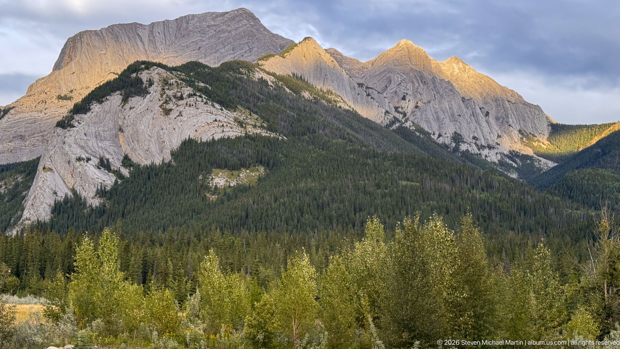
Warm low-angle sunlight strikes the upper edges of a jagged gray mountain massif while the forested lower slopes remain in shadow. Deep gullies, inclined rock layers, and sharp summits reveal the strongly eroded sedimentary structure surrounding the Miette valley.
Caption
Warm low-angle sunlight strikes the upper edges of a jagged gray mountain massif while the forested lower slopes remain in shadow. Deep gullies, inclined rock layers, and sharp summits reveal the strongly eroded sedimentary structure surrounding the Miette valley.
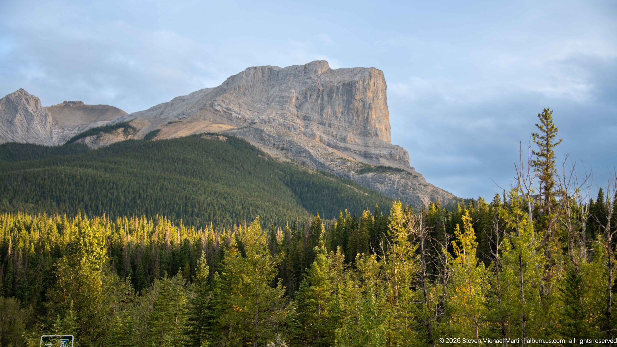
A broad gray mountain rises abruptly above dense green forest, with near-vertical upper cliffs, sloping bedding, and deeply eroded faces exposed across its summit mass. The view highlights the scale and layered sedimentary structure of the mountains surrounding the Miette corridor.
Caption
A broad gray mountain rises abruptly above dense green forest, with near-vertical upper cliffs, sloping bedding, and deeply eroded faces exposed across its summit mass. The view highlights the scale and layered sedimentary structure of the mountains surrounding the Miette corridor.
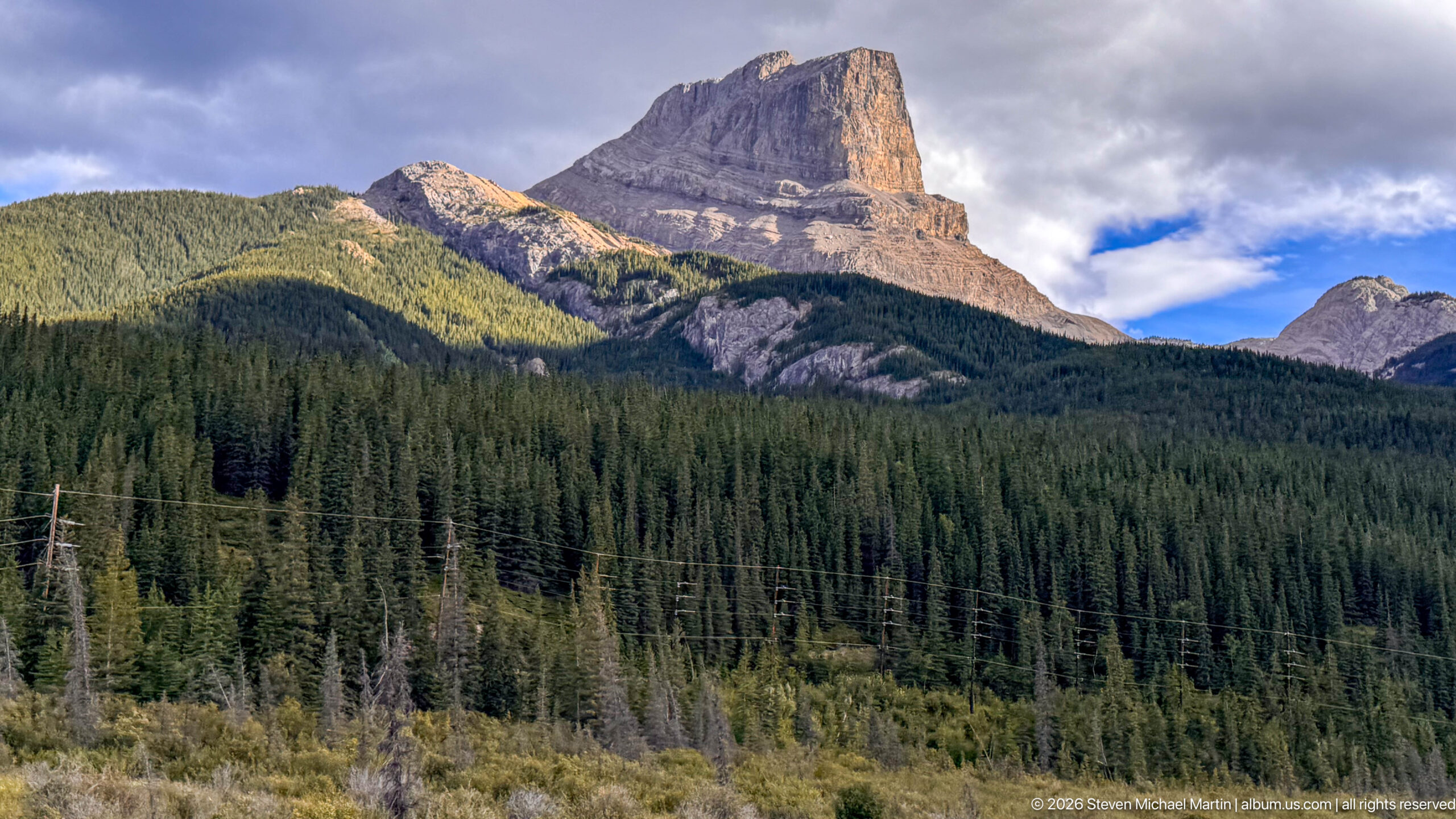
A massive flat-topped sedimentary peak rises above densely forested lower slopes, its steep upper cliffs and horizontal rock layers sharply defined by angled sunlight. Power lines crossing the foreground place the dramatic mountain form within the traveled Miette-area corridor rather than an isolated wilderness view.
Caption
A massive flat-topped sedimentary peak rises above densely forested lower slopes, its steep upper cliffs and horizontal rock layers sharply defined by angled sunlight. Power lines crossing the foreground place the dramatic mountain form within the traveled Miette-area corridor rather than an isolated wilderness view.
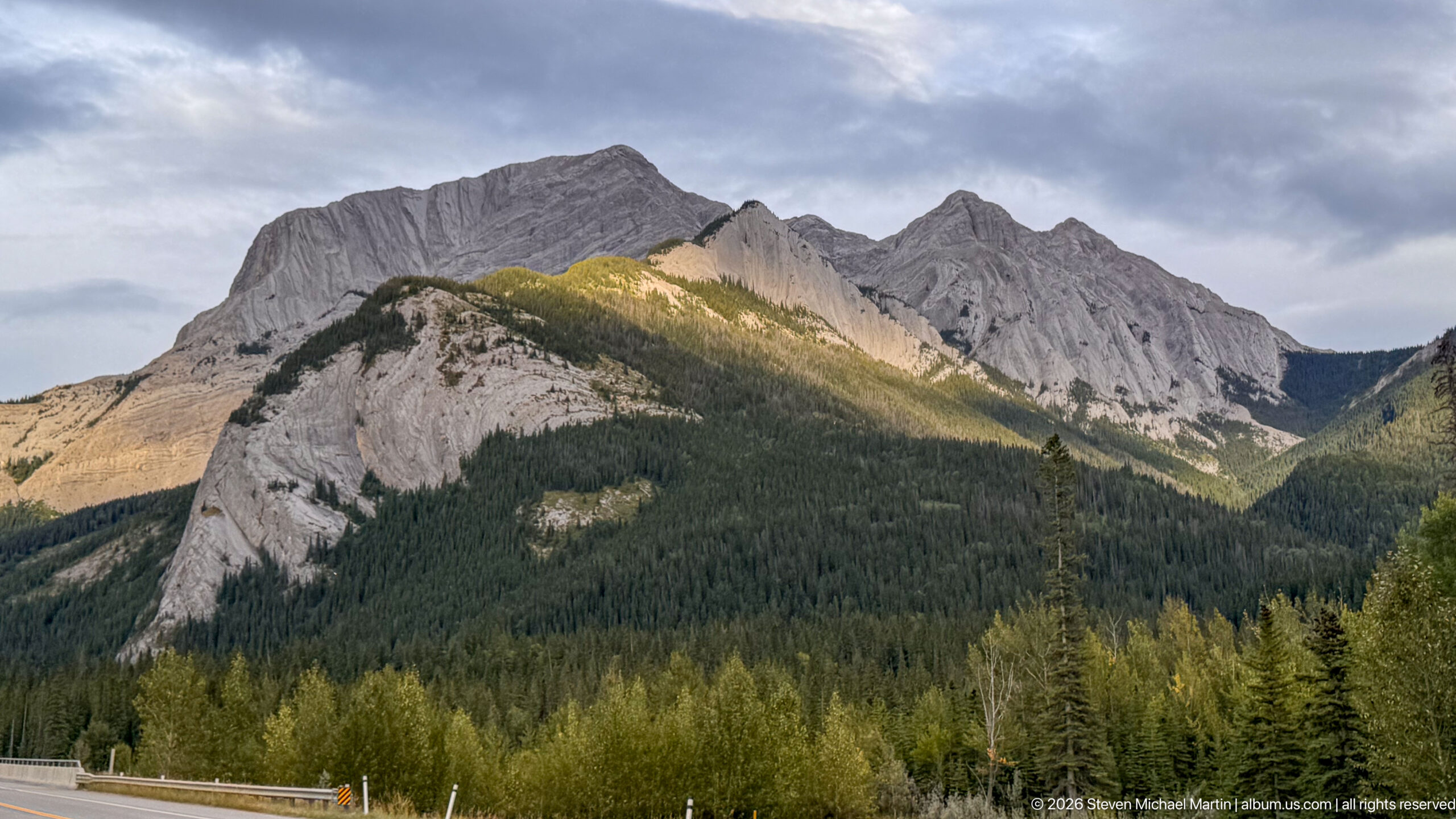
A massive gray sedimentary mountain rises sharply above dense conifer forest, with low evening light illuminating a triangular section of the lower ridge. Vertical grooves, inclined strata, and jagged summits reveal the strongly eroded structure of the Canadian Rockies in this rugged mountain setting.
Caption
A massive gray sedimentary mountain rises sharply above dense conifer forest, with low evening light illuminating a triangular section of the lower ridge. Vertical grooves, inclined strata, and jagged summits reveal the strongly eroded structure of the Canadian Rockies in this rugged mountain setting.
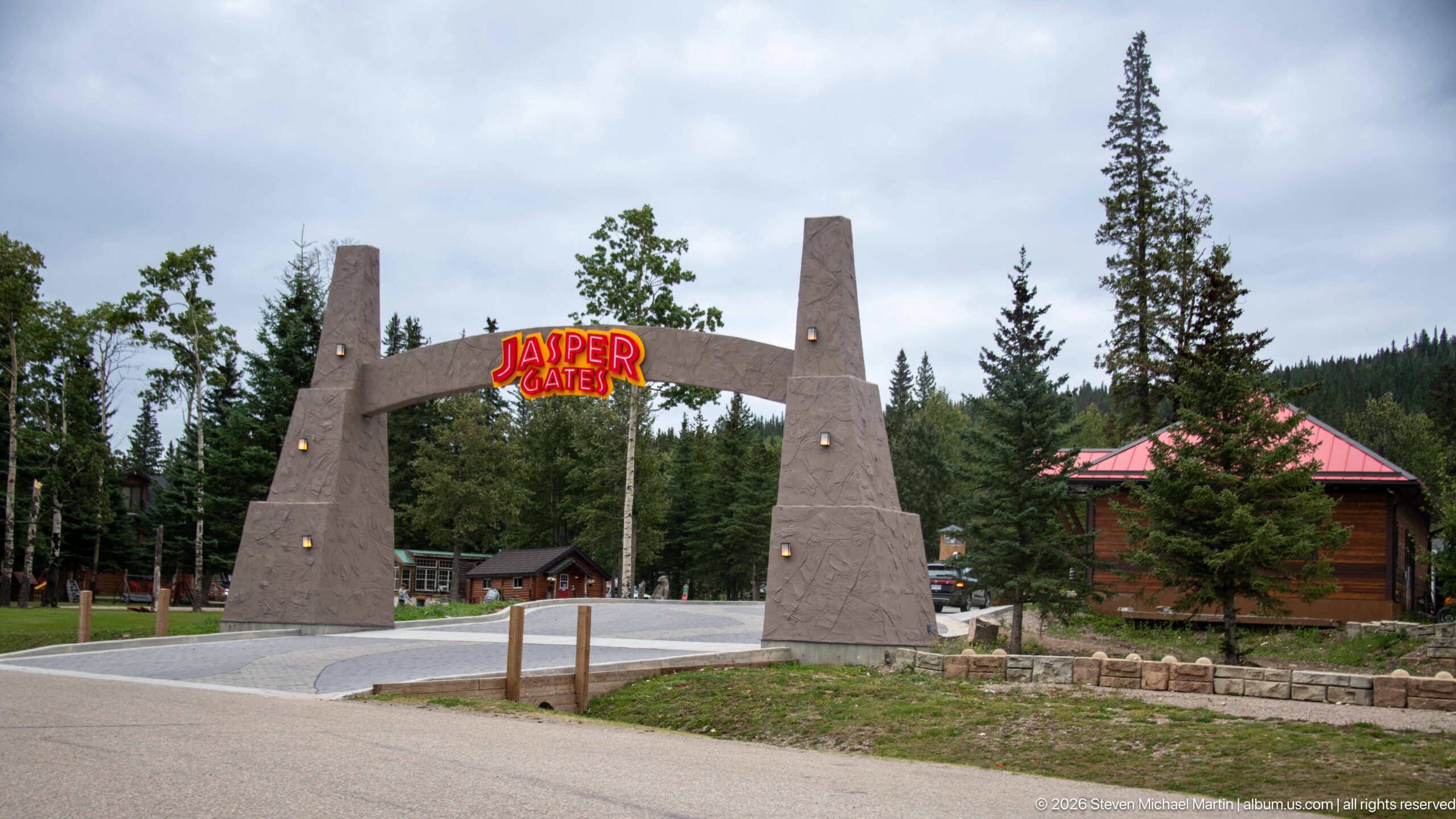
A monumental roadside arch marked 'Jasper Gates' spans the entrance to a cabin property, its tapered stone-colored pylons framing the drive. Conifers, rustic buildings, and mountain vegetation surround the gateway, creating a distinctive arrival marker along the Jasper travel corridor.
Caption
A monumental roadside arch marked 'Jasper Gates' spans the entrance to a cabin property, its tapered stone-colored pylons framing the drive. Conifers, rustic buildings, and mountain vegetation surround the gateway, creating a distinctive arrival marker along the Jasper travel corridor.
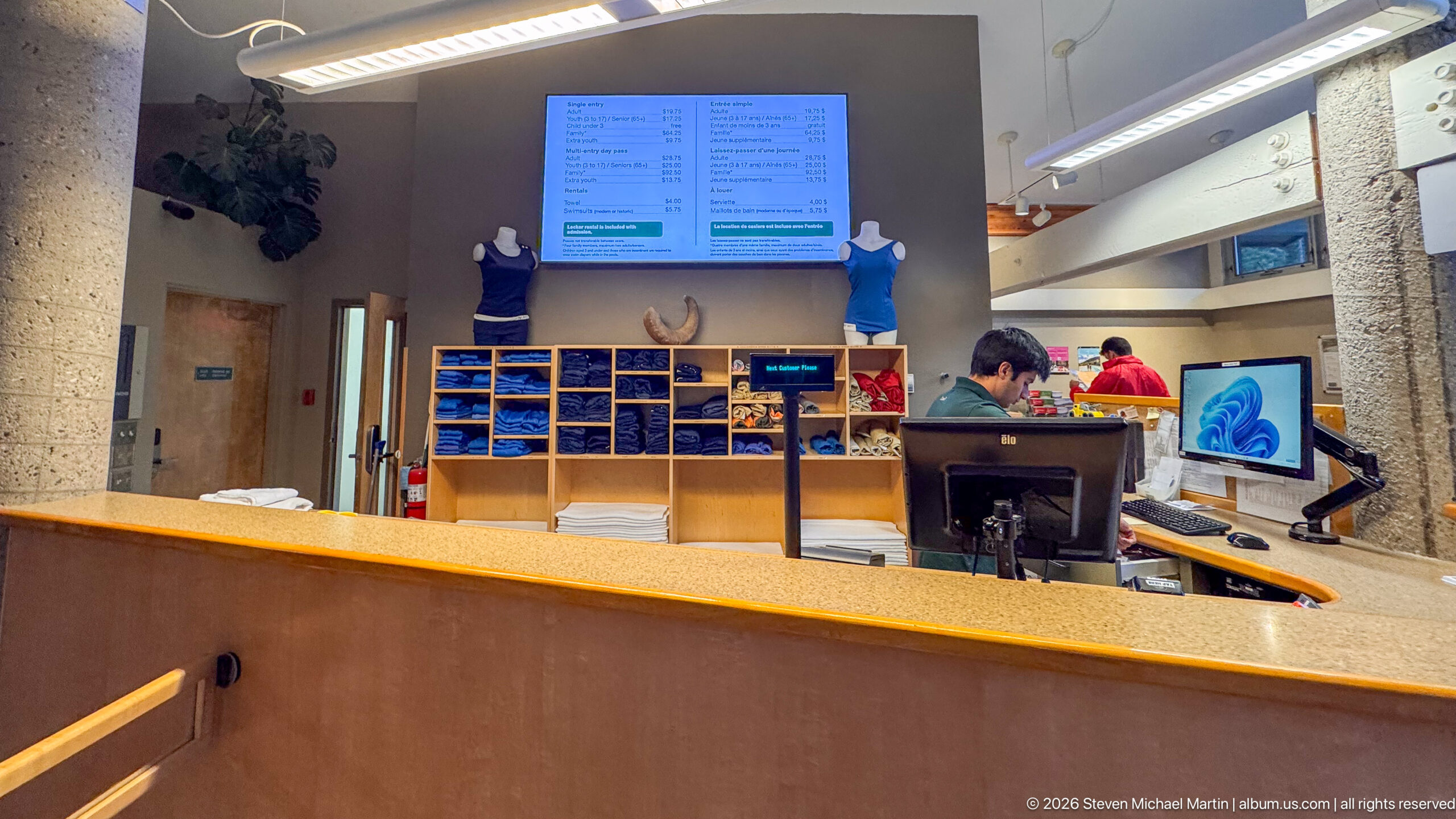
A service counter inside Miette Hot Springs faces open shelving stocked with folded textiles and merchandise, while staff work behind computer terminals. Overhead digital boards provide visitor information, documenting the operational side of the developed bathing complex.
Caption
A service counter inside Miette Hot Springs faces open shelving stocked with folded textiles and merchandise, while staff work behind computer terminals. Overhead digital boards provide visitor information, documenting the operational side of the developed bathing complex.
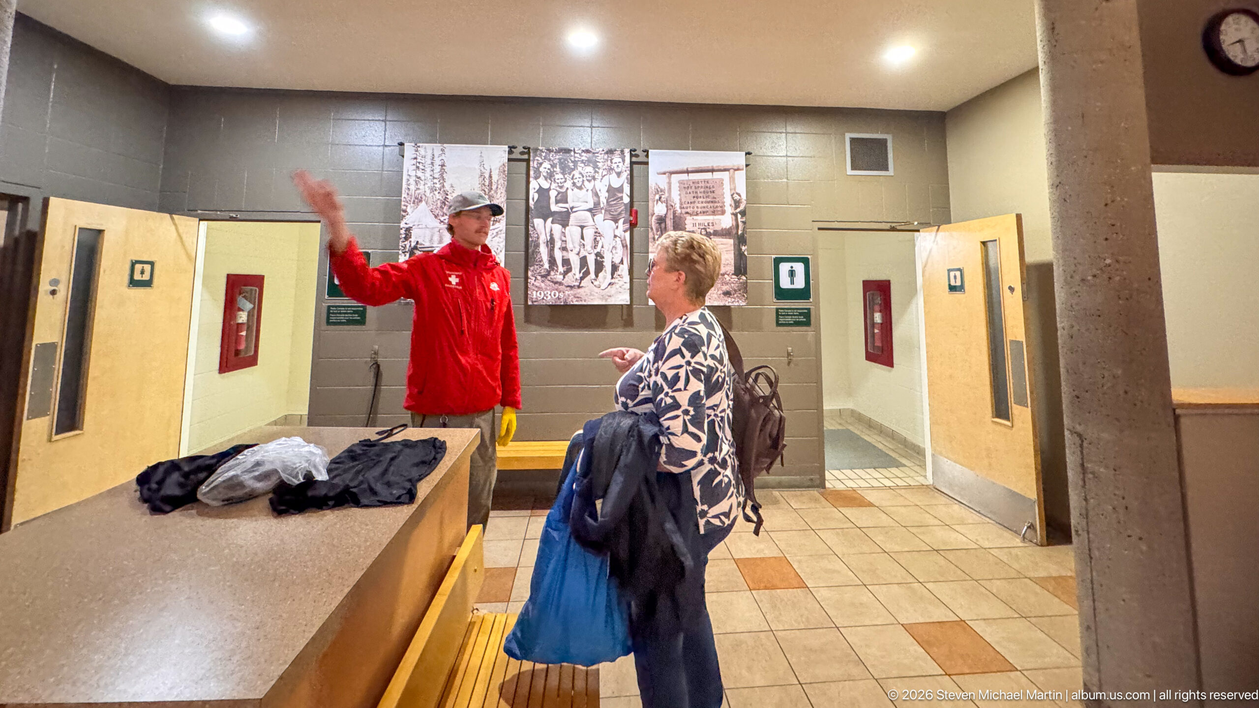
Inside the Miette Hot Springs changing area, a staff member in a red uniform gestures while speaking with a visitor holding clothing and a bag. Lockers or changing-room doors, tiled floors, and historic photographs on the wall place the interaction within the bathing facility's practical visitor spaces.
Caption
Inside the Miette Hot Springs changing area, a staff member in a red uniform gestures while speaking with a visitor holding clothing and a bag. Lockers or changing-room doors, tiled floors, and historic photographs on the wall place the interaction within the bathing facility's practical visitor spaces.
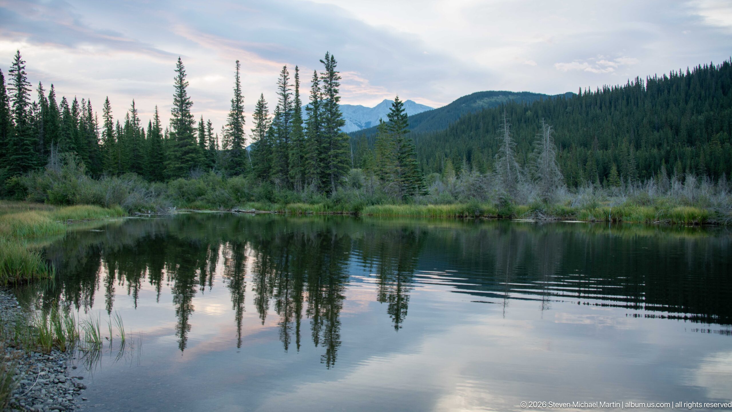
A still pond reflects conifers, pale evening clouds, and low mountain ridges, with marsh grasses and partially submerged vegetation marking the shoreline. The calm water and forested setting document the wetland character of the broader Jasper landscape without requiring a more specific landmark identification.
Caption
A still pond reflects conifers, pale evening clouds, and low mountain ridges, with marsh grasses and partially submerged vegetation marking the shoreline. The calm water and forested setting document the wetland character of the broader Jasper landscape without requiring a more specific landmark identification.
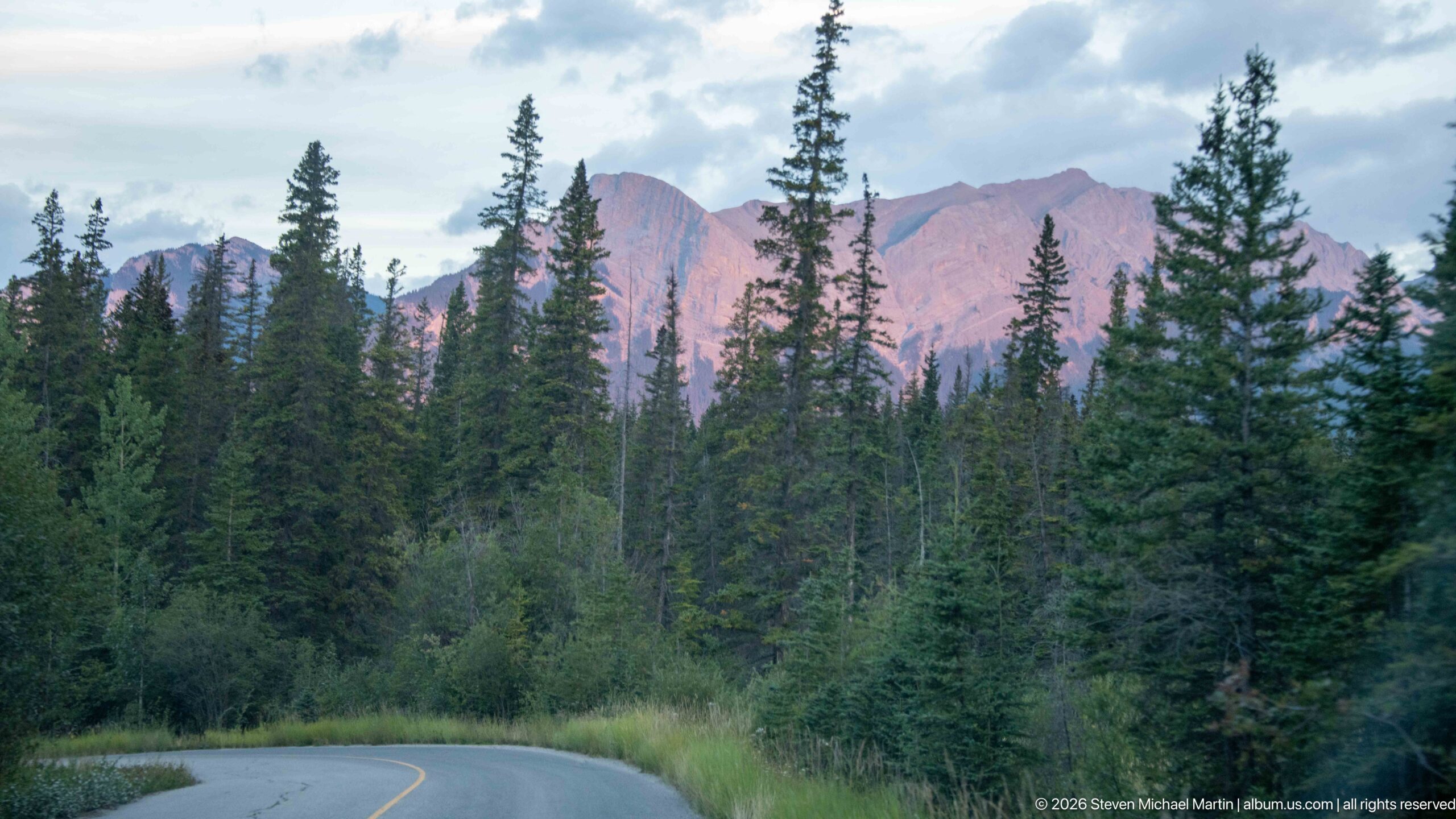
A paved mountain road curves through dense conifer forest toward sharply layered Rocky Mountain peaks catching warm evening light. The composition records the confined road corridor characteristic of the Miette approach, while the exact ridge remains unidentified because the visible mountain form alone is not sufficient for a named-landmark assignment.
Caption
A paved mountain road curves through dense conifer forest toward sharply layered Rocky Mountain peaks catching warm evening light. The composition records the confined road corridor characteristic of the Miette approach, while the exact ridge remains unidentified because the visible mountain form alone is not sufficient for a named-landmark assignment.
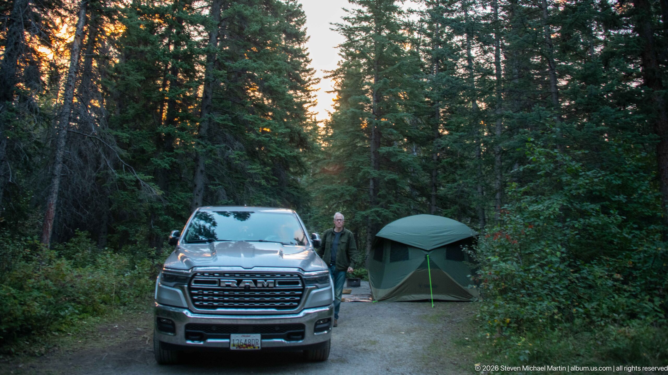
A pickup truck and freestanding tent occupy a compact campsite enclosed by dense conifer forest, with a person standing between the vehicle and shelter. The scene documents overnight camping within the Jasper portion of the journey and contrasts the developed campsite with the surrounding mountain forest.
Caption
A pickup truck and freestanding tent occupy a compact campsite enclosed by dense conifer forest, with a person standing between the vehicle and shelter. The scene documents overnight camping within the Jasper portion of the journey and contrasts the developed campsite with the surrounding mountain forest.
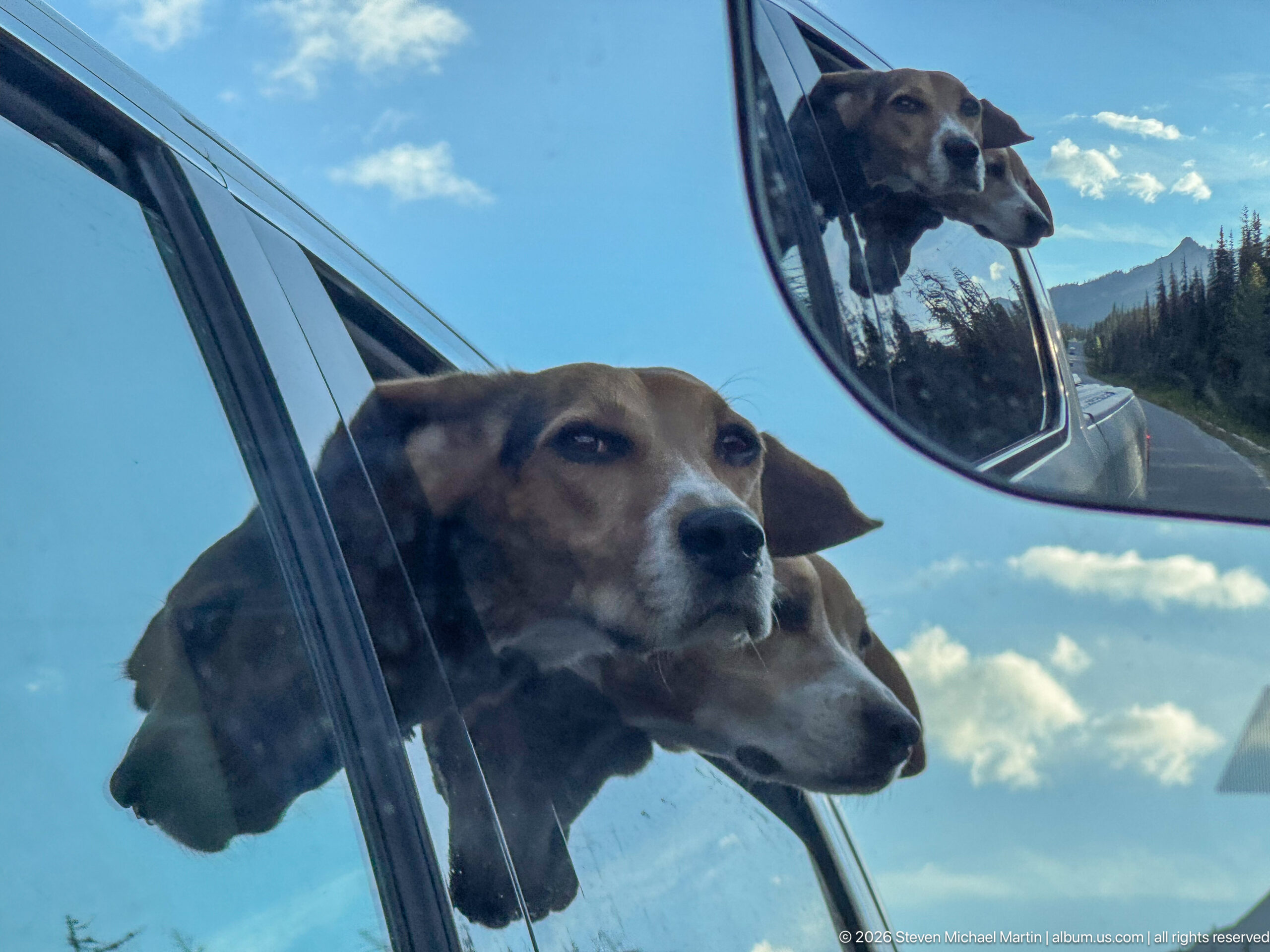
Two beagles lean into the open air from a vehicle window, while the side mirror repeats their heads against a backdrop of blue sky and distant mountains. The layered reflection turns a travel moment into a compact portrait of the dogs moving through the Canadian Rockies.
Caption
Two beagles lean into the open air from a vehicle window, while the side mirror repeats their heads against a backdrop of blue sky and distant mountains. The layered reflection turns a travel moment into a compact portrait of the dogs moving through the Canadian Rockies.
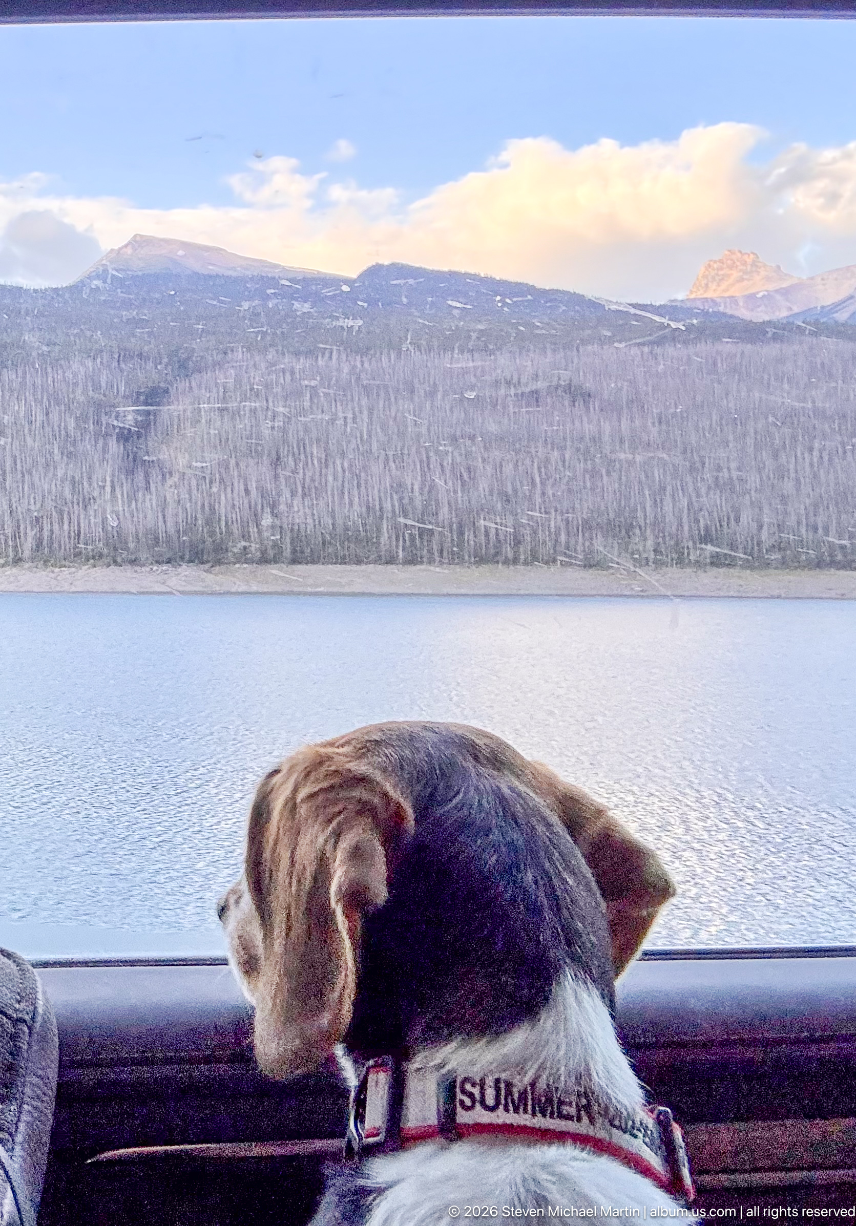
A beagle rests its head along the vehicle window edge while looking toward a broad lake and forested mountain slopes. The close foreground portrait and expansive background connect pet travel with the open-water and mountain scenery of Jasper National Park.
Caption
A beagle rests its head along the vehicle window edge while looking toward a broad lake and forested mountain slopes. The close foreground portrait and expansive background connect pet travel with the open-water and mountain scenery of Jasper National Park.
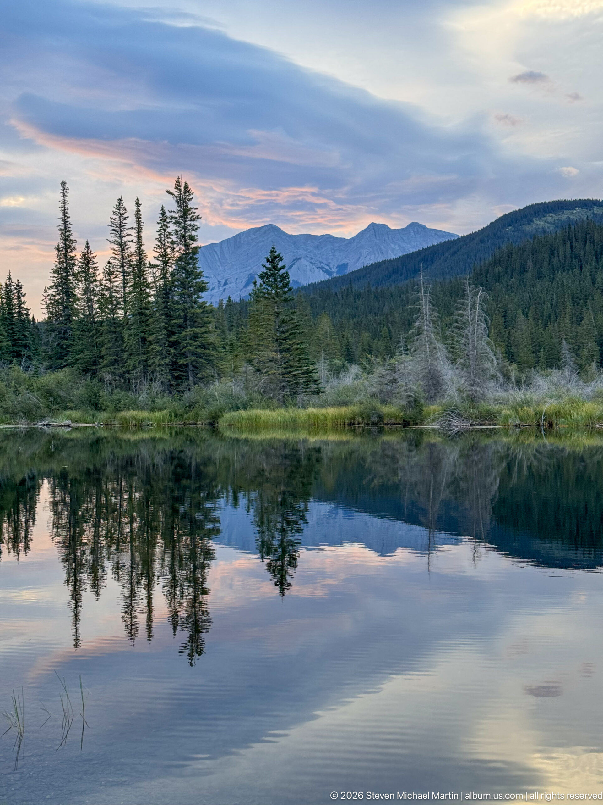
Evening light settles over a quiet pond where conifers and a long mountain ridge are mirrored across nearly still water. Dead standing trees and marsh vegetation along the far shore add ecological texture to a scene shaped by forest, wetland, and mountain relief.
Caption
Evening light settles over a quiet pond where conifers and a long mountain ridge are mirrored across nearly still water. Dead standing trees and marsh vegetation along the far shore add ecological texture to a scene shaped by forest, wetland, and mountain relief.
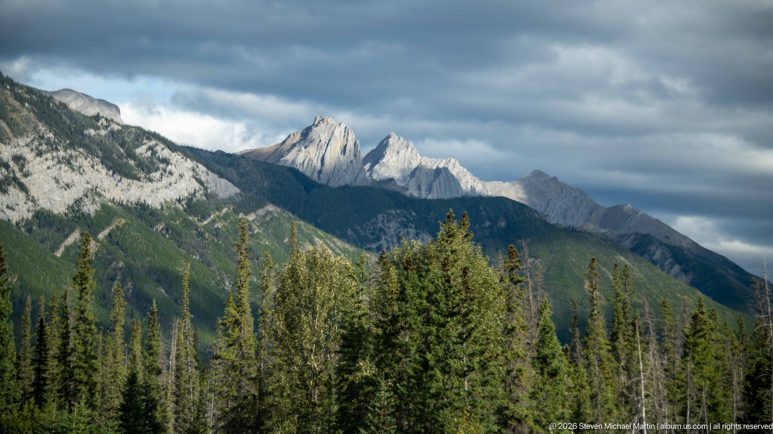
Jagged, pale-gray sedimentary peaks rise above a dense conifer forest beneath heavy clouds. Exposed bedding and resistant cliff-forming rock create a serrated skyline, illustrating the strongly eroded mountain architecture of the Canadian Rockies without assigning an unsupported formation or peak name.
Caption
Jagged, pale-gray sedimentary peaks rise above a dense conifer forest beneath heavy clouds. Exposed bedding and resistant cliff-forming rock create a serrated skyline, illustrating the strongly eroded mountain architecture of the Canadian Rockies without assigning an unsupported formation or peak name.
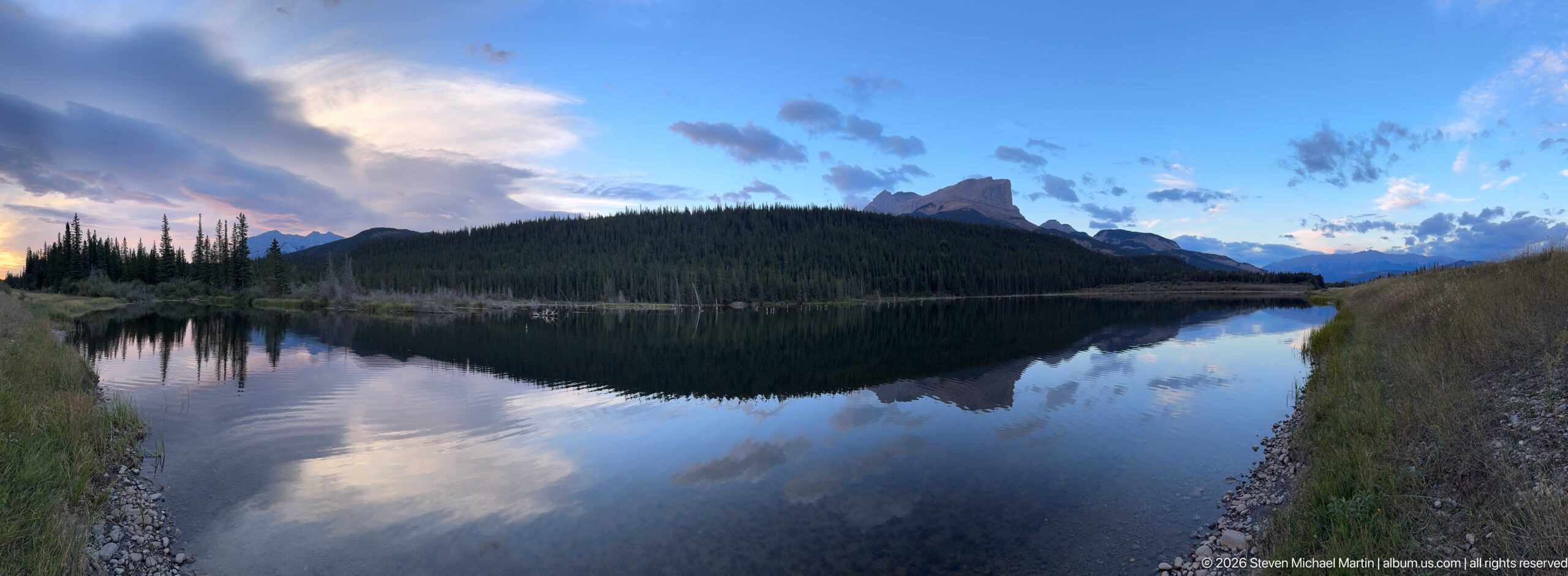
A calm mountain lake mirrors a dark forested slope, distant peaks, and blue-and-pink evening clouds. The broad reflective surface and low shoreline grasses create a quiet twilight study of water, forest, and mountain relief in Jasper National Park.
Caption
A calm mountain lake mirrors a dark forested slope, distant peaks, and blue-and-pink evening clouds. The broad reflective surface and low shoreline grasses create a quiet twilight study of water, forest, and mountain relief in Jasper National Park.
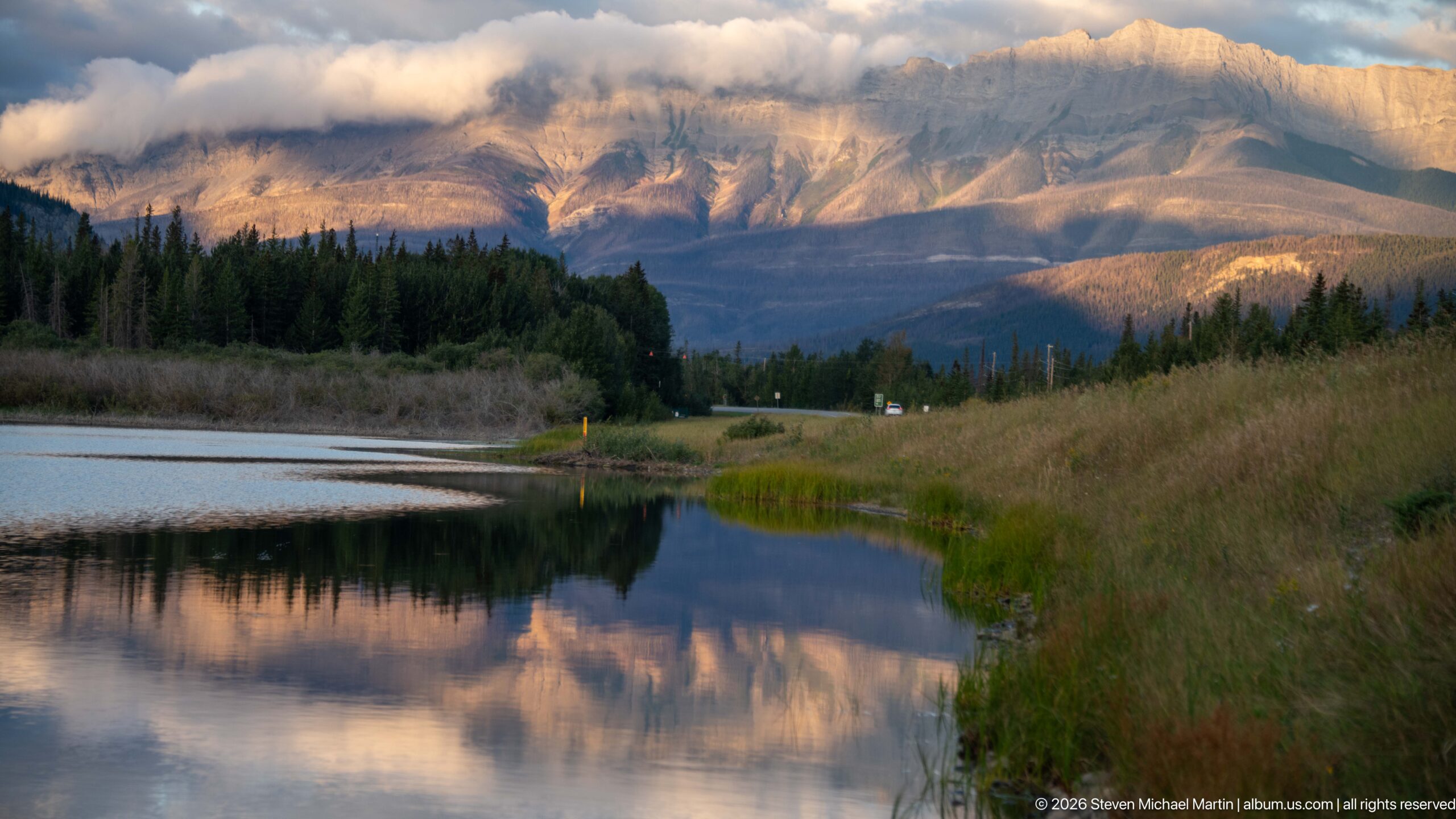
Warm low-angle light illuminates broad sedimentary mountain faces beyond a small body of water, grasses, conifers, and a roadway. Clouds cling to the upper slopes while reflections repeat the amber light below, recording changing evening conditions along the Jasper travel corridor.
Caption
Warm low-angle light illuminates broad sedimentary mountain faces beyond a small body of water, grasses, conifers, and a roadway. Clouds cling to the upper slopes while reflections repeat the amber light below, recording changing evening conditions along the Jasper travel corridor.
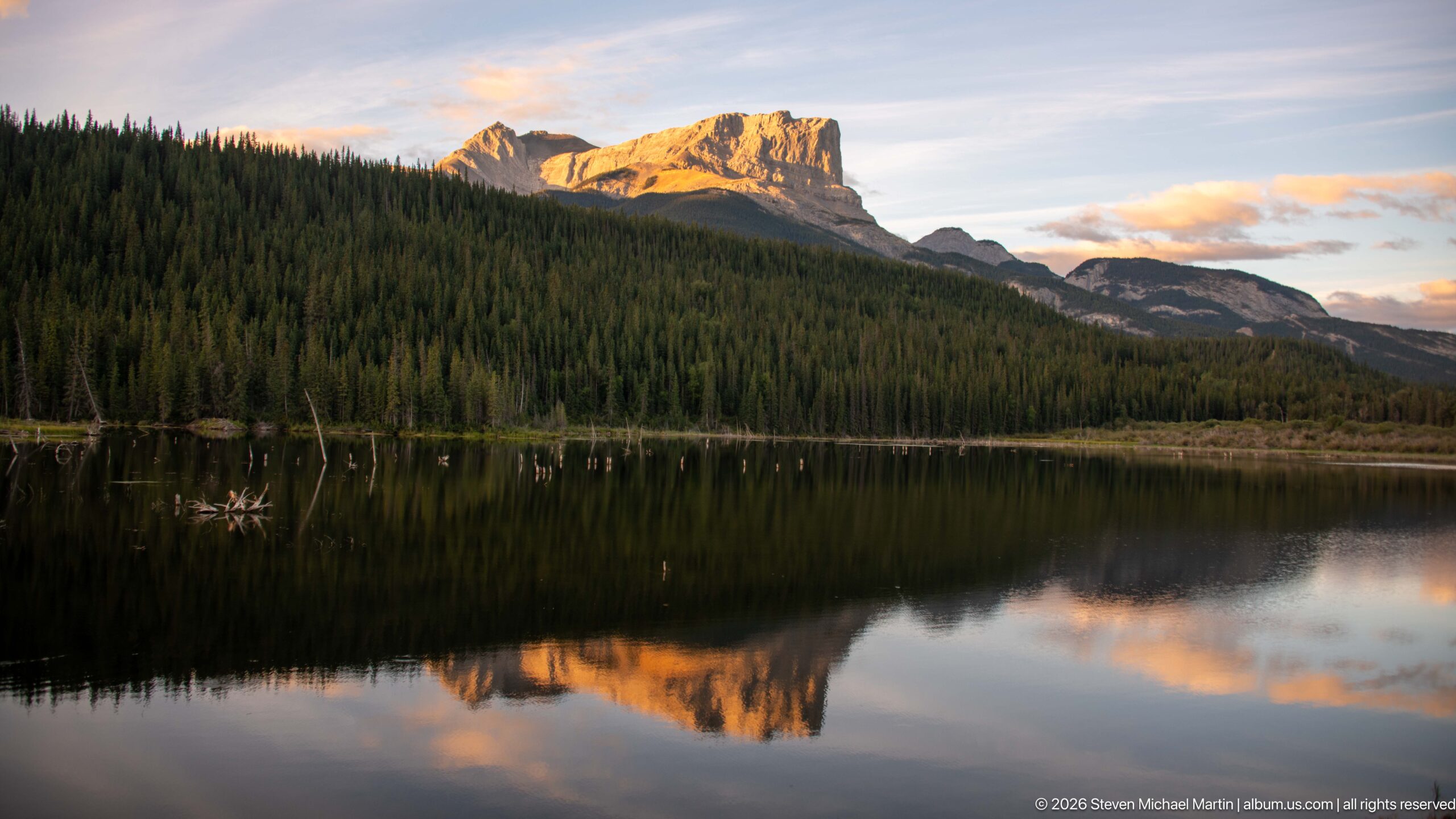
A cliffed mountain catches warm evening sunlight above a dark band of conifer forest, its illuminated upper face mirrored in a calm lake. The strong division between glowing rock, shadowed forest, and reflective water creates a concise record of late-day light across the Jasper landscape.
Caption
A cliffed mountain catches warm evening sunlight above a dark band of conifer forest, its illuminated upper face mirrored in a calm lake. The strong division between glowing rock, shadowed forest, and reflective water creates a concise record of late-day light across the Jasper landscape.
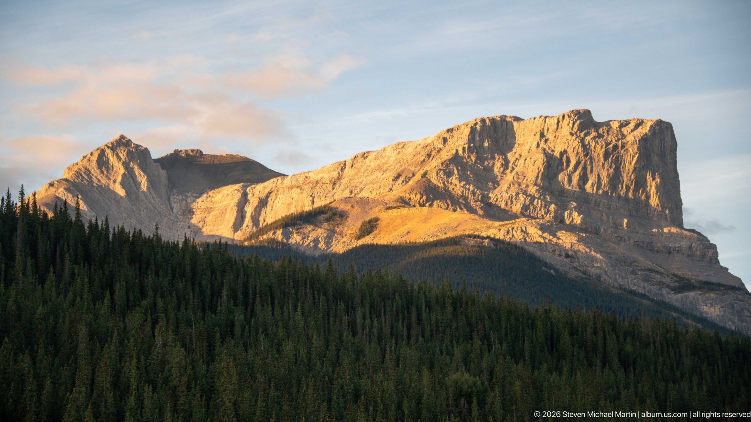
Low evening sunlight turns the upper cliffs of a broad, flat-topped mountain gold while the conifer-covered lower slopes remain in shadow. Horizontal bedding and steep erosional faces reveal the layered sedimentary structure characteristic of the Canadian Rockies.
Caption
Low evening sunlight turns the upper cliffs of a broad, flat-topped mountain gold while the conifer-covered lower slopes remain in shadow. Horizontal bedding and steep erosional faces reveal the layered sedimentary structure characteristic of the Canadian Rockies.
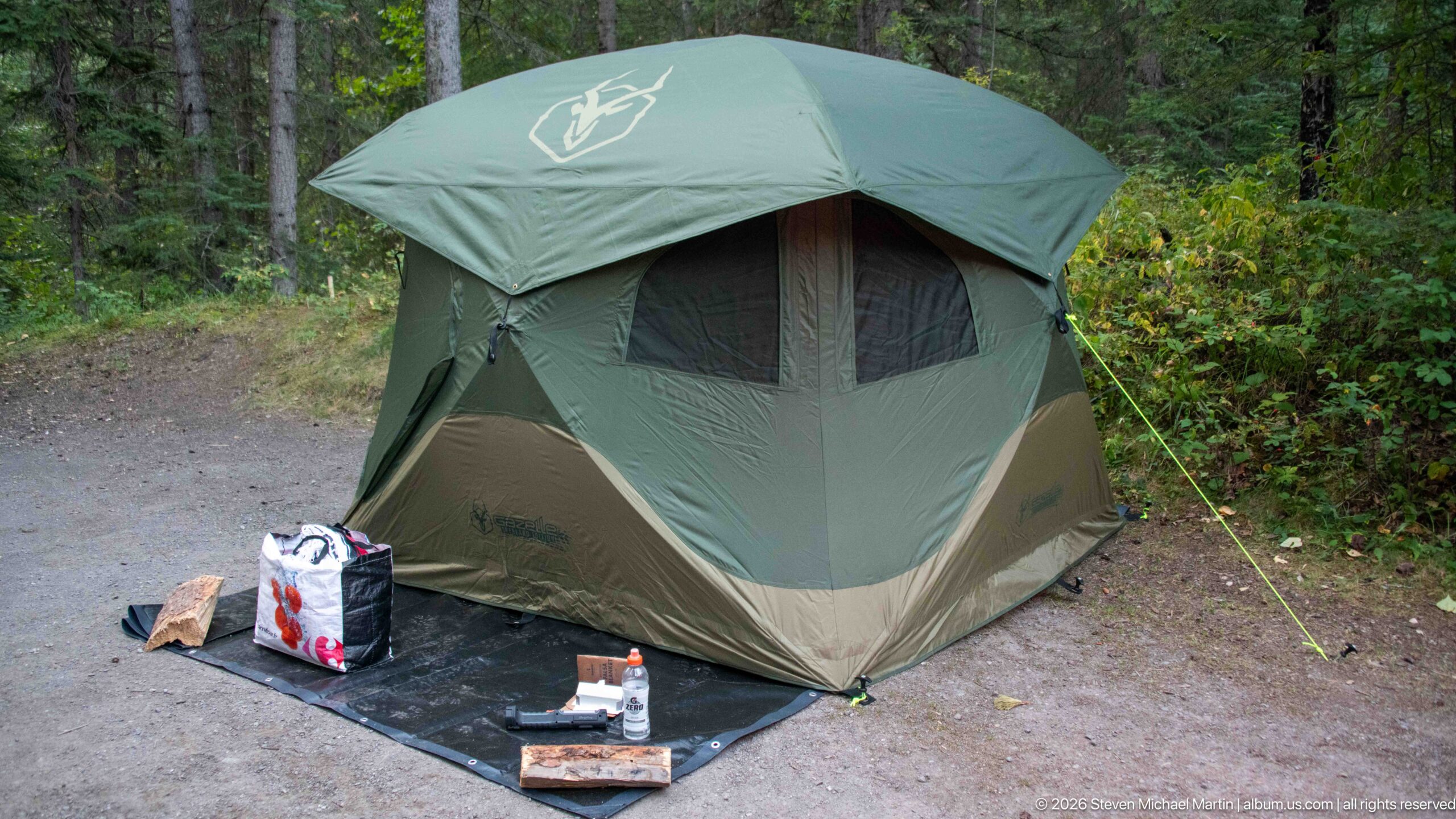
A large green freestanding tent is pitched on a compact gravel campsite, with a ground mat, supplies, and guy lines arranged around the entrance. Dense deciduous and conifer vegetation encloses the site, documenting the practical camping setup used during the Jasper stay.
Caption
A large green freestanding tent is pitched on a compact gravel campsite, with a ground mat, supplies, and guy lines arranged around the entrance. Dense deciduous and conifer vegetation encloses the site, documenting the practical camping setup used during the Jasper stay.
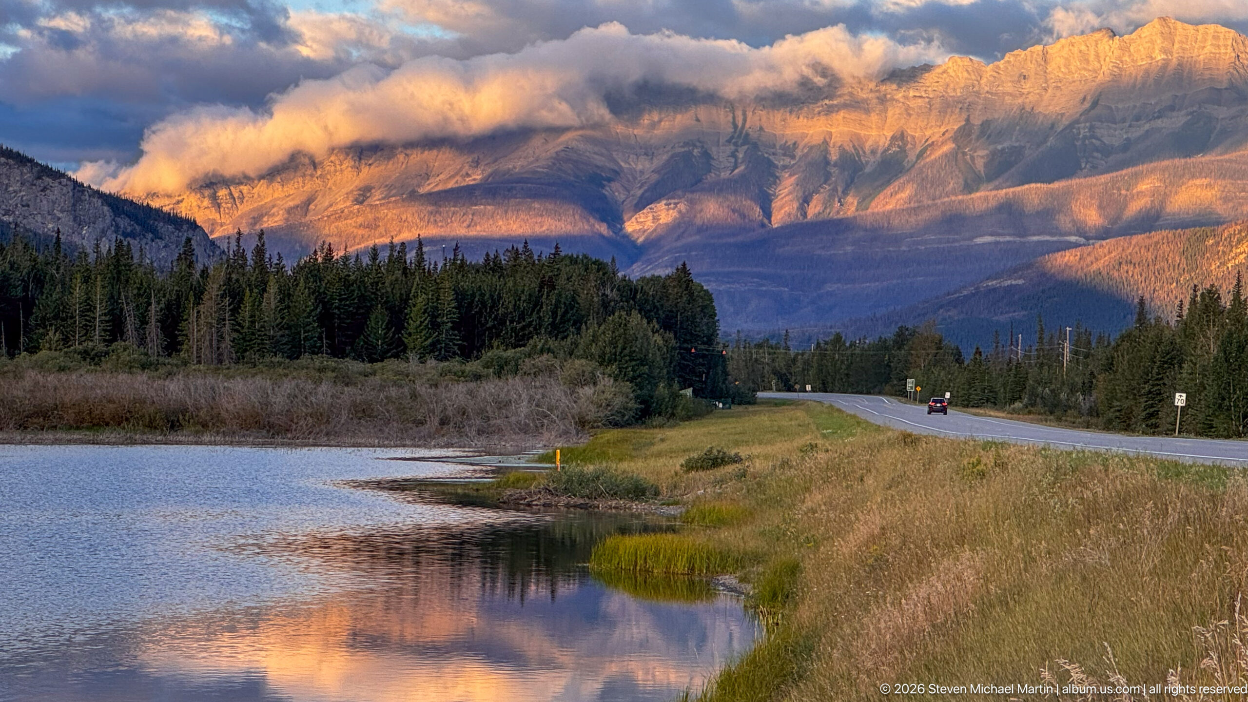
A broad mountain face glows beneath low clouds beyond a reflective wetland, conifer forest, and paved road. The roadway and small roadside signs establish a traveled landscape, while warm light across the upper slopes contrasts with the cooler water and shadowed foreground.
Caption
A broad mountain face glows beneath low clouds beyond a reflective wetland, conifer forest, and paved road. The roadway and small roadside signs establish a traveled landscape, while warm light across the upper slopes contrasts with the cooler water and shadowed foreground.
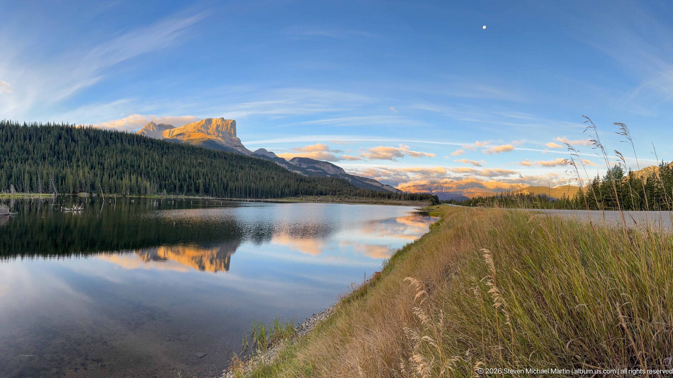
A low grassy shoreline curves around still water reflecting a forested ridge and distant mountains, while a small bright moon hangs in the blue evening sky. The broad composition emphasizes the transition from open water and riparian grasses to forest and high relief.
Caption
A low grassy shoreline curves around still water reflecting a forested ridge and distant mountains, while a small bright moon hangs in the blue evening sky. The broad composition emphasizes the transition from open water and riparian grasses to forest and high relief.
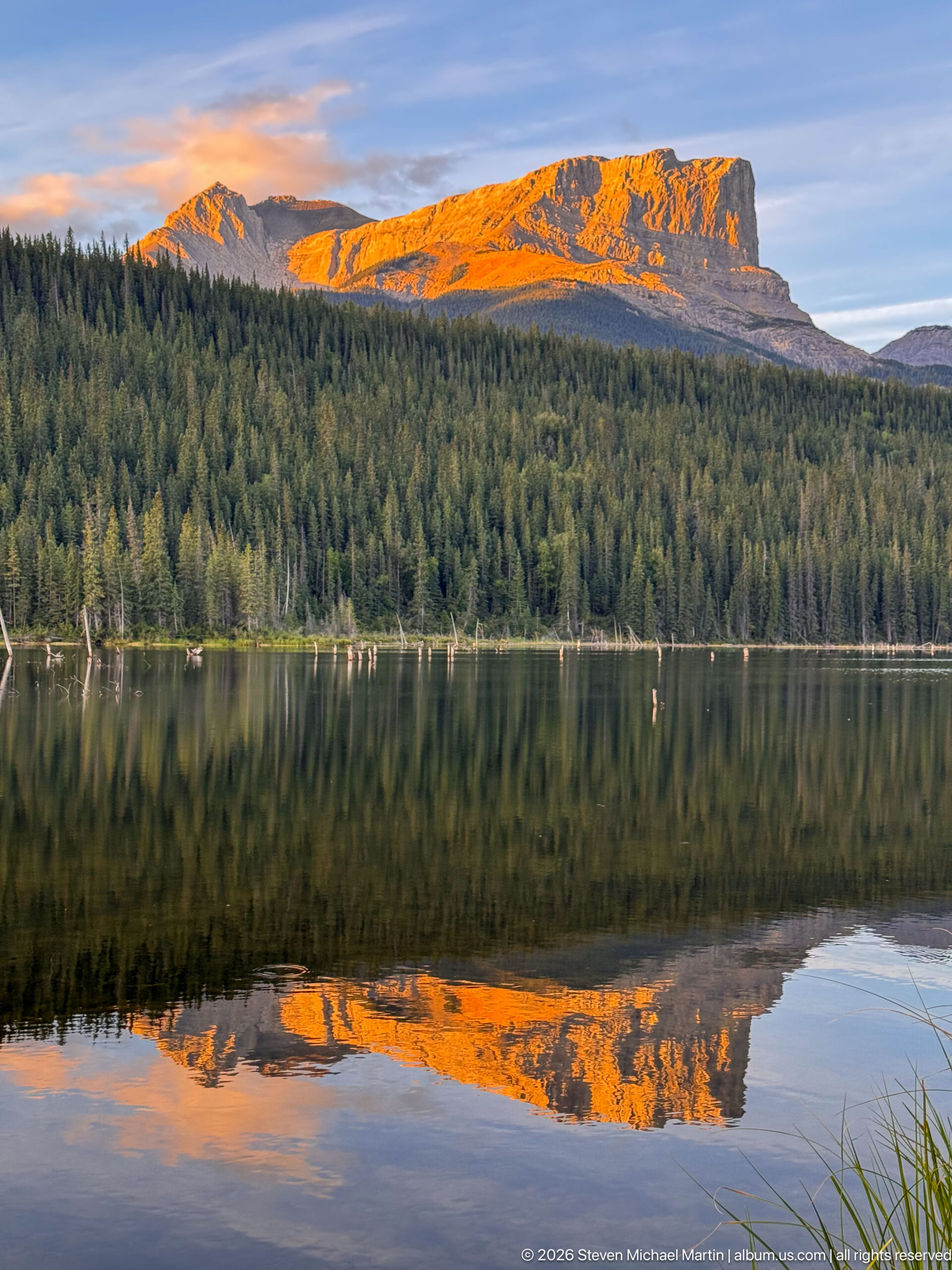
Intense orange evening light strikes the upper mountain ridge and is repeated almost symmetrically in the still lake below. A dark conifer band separates rock from reflection, creating a strong study of late-day illumination and calm water in the Canadian Rockies.
Caption
Intense orange evening light strikes the upper mountain ridge and is repeated almost symmetrically in the still lake below. A dark conifer band separates rock from reflection, creating a strong study of late-day illumination and calm water in the Canadian Rockies.
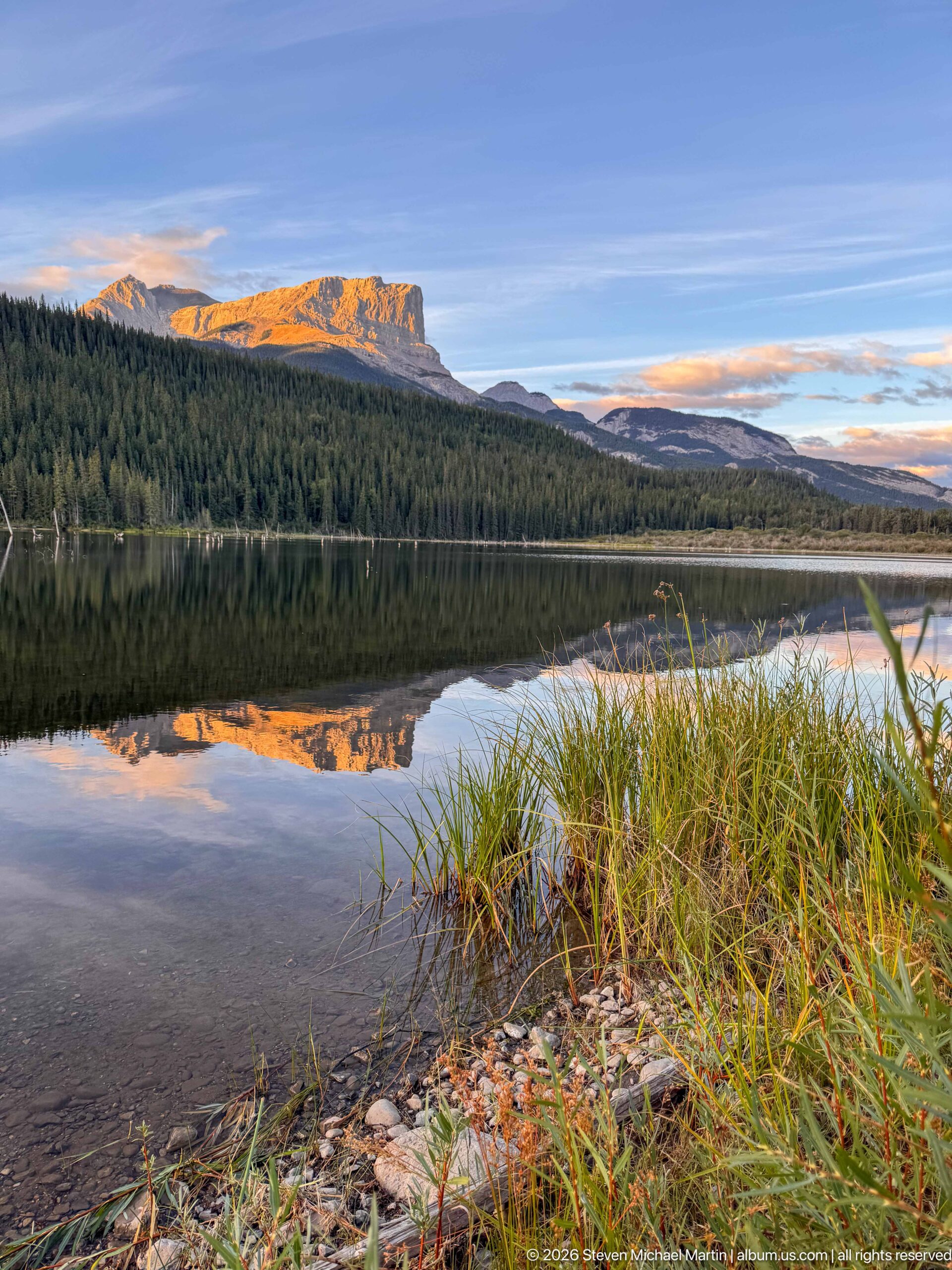
Pebbles, shallow water, and a tuft of shoreline grasses anchor the foreground as a forested ridge and warm-lit mountain are reflected across the lake. The low viewpoint emphasizes the transition from rocky shore to wetland vegetation, open water, forest, and mountain.
Caption
Pebbles, shallow water, and a tuft of shoreline grasses anchor the foreground as a forested ridge and warm-lit mountain are reflected across the lake. The low viewpoint emphasizes the transition from rocky shore to wetland vegetation, open water, forest, and mountain.
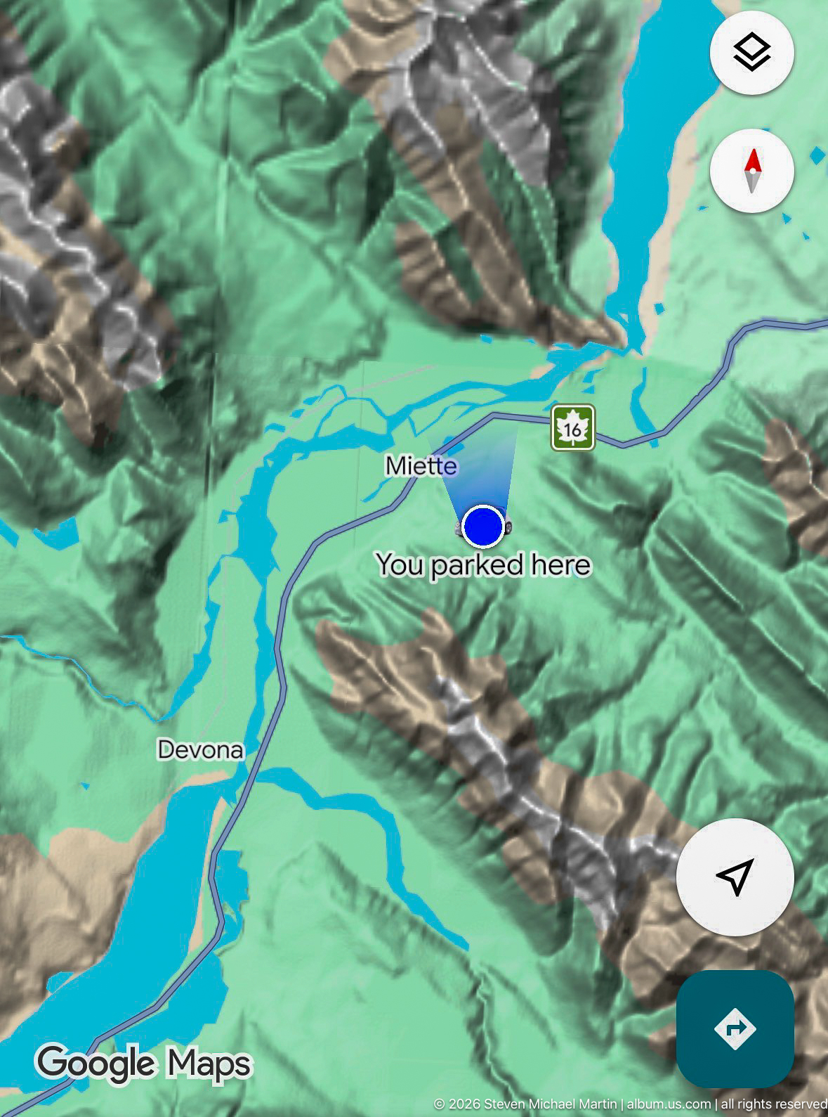
A vehicle navigation display shows a three-dimensional Google Maps view labeled Miette and Devona, with a blue location marker and the text 'You parked here.' The screen provides direct geographic context for the journey through the Miette corridor and surrounding mountain terrain.
Caption
A vehicle navigation display shows a three-dimensional Google Maps view labeled Miette and Devona, with a blue location marker and the text 'You parked here.' The screen provides direct geographic context for the journey through the Miette corridor and surrounding mountain terrain.
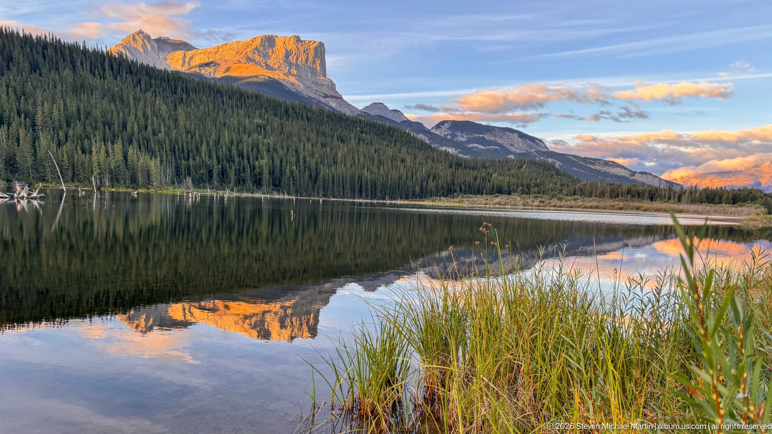
Tall reeds and grasses frame the foreground of a quiet lake where a sunlit cliffed mountain and dark forest are mirrored in evening light. The vegetation adds a riparian layer to the repeated mountain-and-water motif and provides depth from shoreline to distant ridge.
Caption
Tall reeds and grasses frame the foreground of a quiet lake where a sunlit cliffed mountain and dark forest are mirrored in evening light. The vegetation adds a riparian layer to the repeated mountain-and-water motif and provides depth from shoreline to distant ridge.
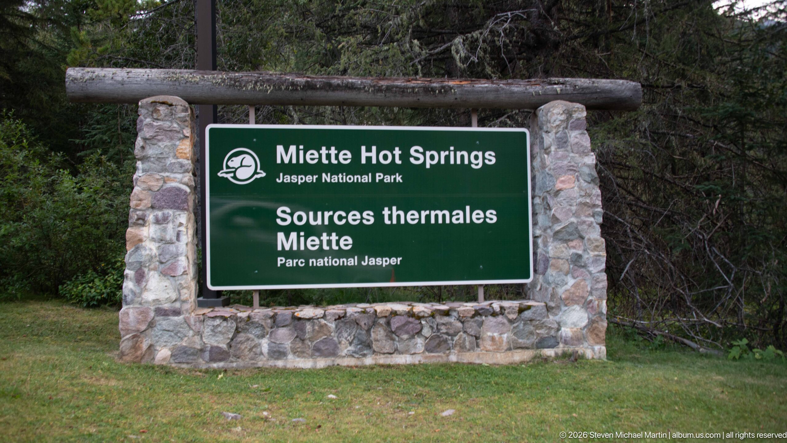
A stone-framed green Parks Canada sign identifies Miette Hot Springs in Jasper National Park, with the French name 'Sources thermales Miette' below. The bilingual entrance marker provides direct confirmation of the portfolio's principal destination and the site's location within the national park.
Caption
A stone-framed green Parks Canada sign identifies Miette Hot Springs in Jasper National Park, with the French name 'Sources thermales Miette' below. The bilingual entrance marker provides direct confirmation of the portfolio's principal destination and the site's location within the national park.
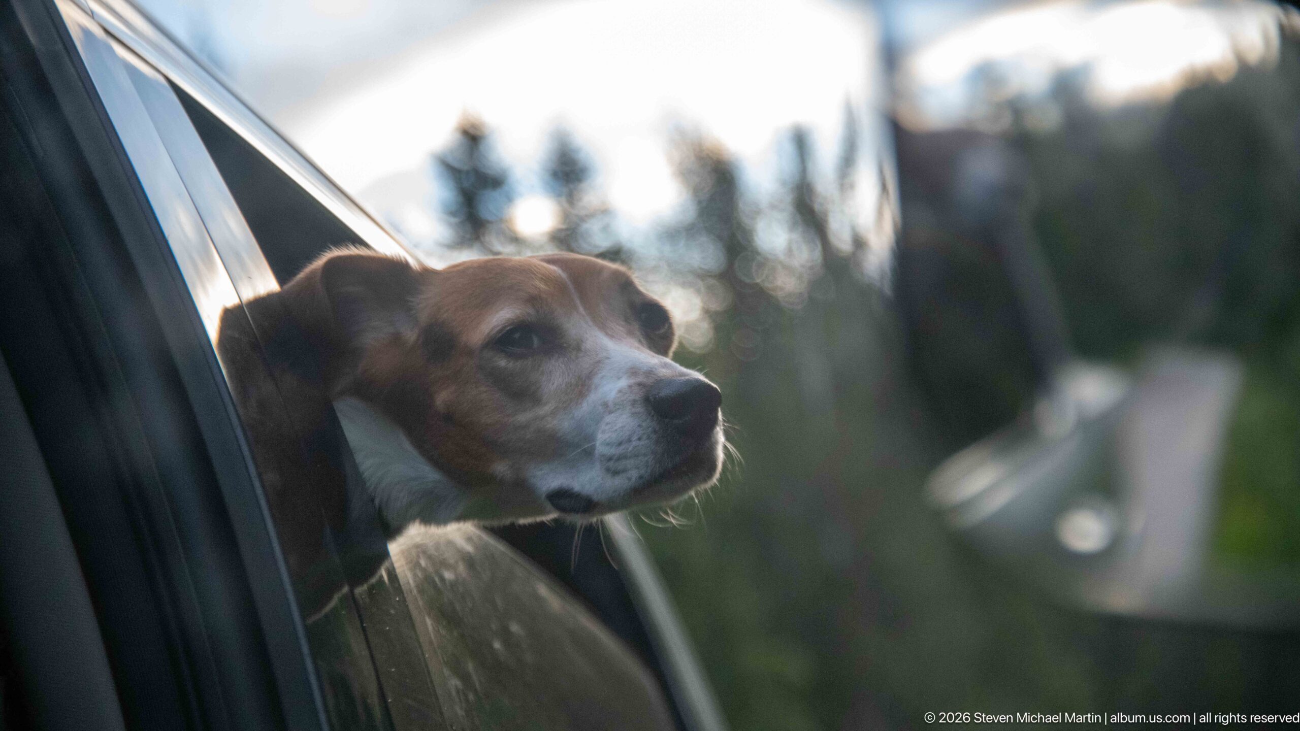
A beagle extends its head through an open vehicle window, softly lit against a blurred forest and roadway background. The shallow depth of field isolates the dog's profile while retaining enough context to place the portrait within the road journey to Miette Hot Springs.
Caption
A beagle extends its head through an open vehicle window, softly lit against a blurred forest and roadway background. The shallow depth of field isolates the dog's profile while retaining enough context to place the portrait within the road journey to Miette Hot Springs.
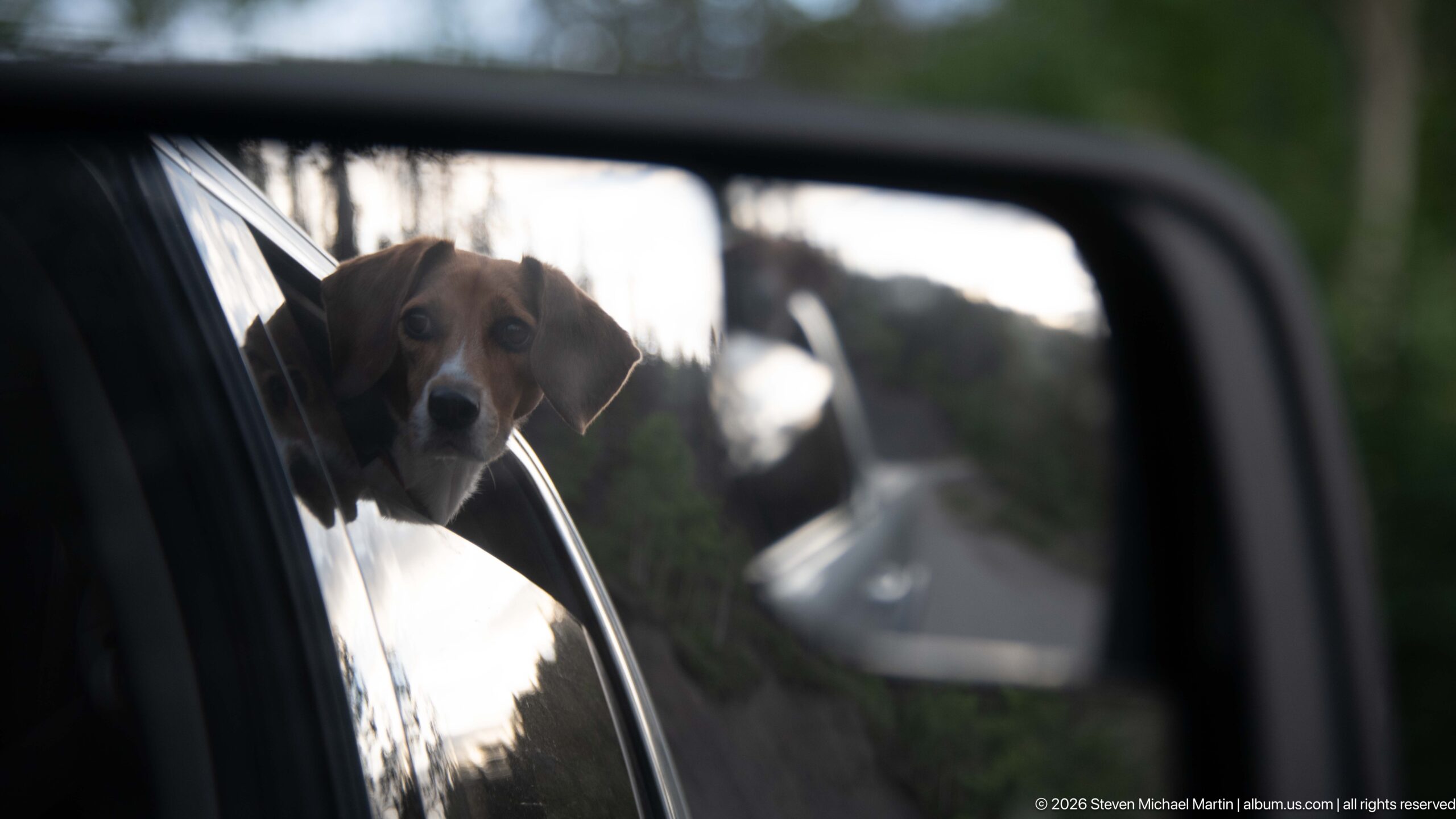
A beagle peers from an open vehicle window while the side mirror frames a second view of the roadside behind. The composition layers the dog's face, vehicle body, mirror, and blurred mountain-road setting into a compact record of pet travel through Jasper.
Caption
A beagle peers from an open vehicle window while the side mirror frames a second view of the roadside behind. The composition layers the dog's face, vehicle body, mirror, and blurred mountain-road setting into a compact record of pet travel through Jasper.
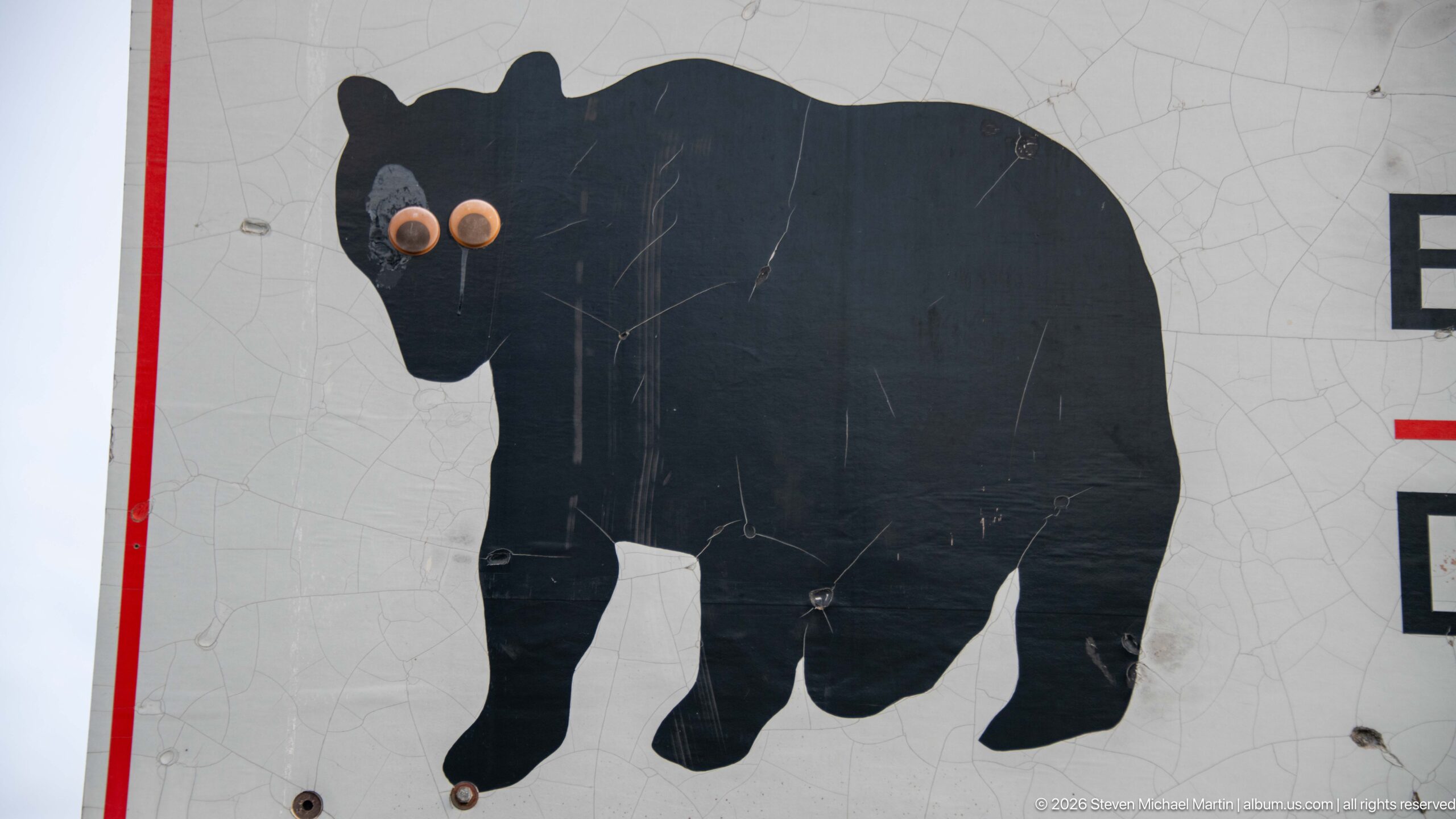
A black bear silhouette fills a weathered warning sign, with several circular impact marks puncturing or damaging the printed figure. The close view isolates the wildlife symbol and surface wear, foreshadowing the full bilingual bear-safety message visible in the following photograph.
Caption
A black bear silhouette fills a weathered warning sign, with several circular impact marks puncturing or damaging the printed figure. The close view isolates the wildlife symbol and surface wear, foreshadowing the full bilingual bear-safety message visible in the following photograph.
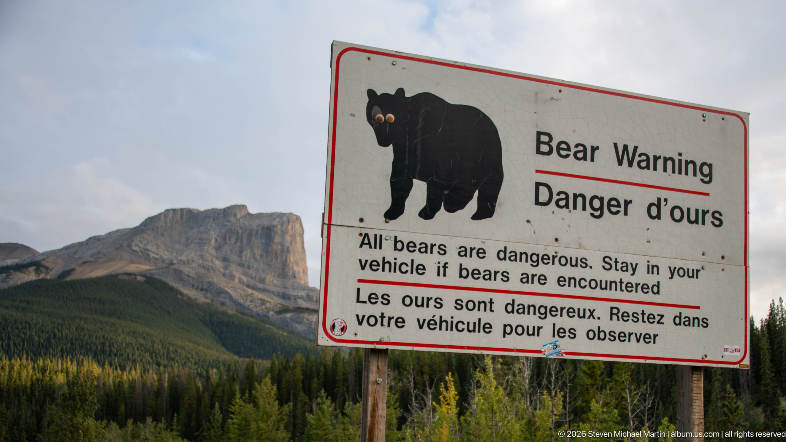
A roadside 'Bear Warning / Danger d’ours' sign instructs visitors to stay in their vehicle if bears are encountered. Set against a forested mountain backdrop, the bilingual safety notice documents the practical wildlife precautions associated with travel in Jasper National Park.
Caption
A roadside 'Bear Warning / Danger d’ours' sign instructs visitors to stay in their vehicle if bears are encountered. Set against a forested mountain backdrop, the bilingual safety notice documents the practical wildlife precautions associated with travel in Jasper National Park.
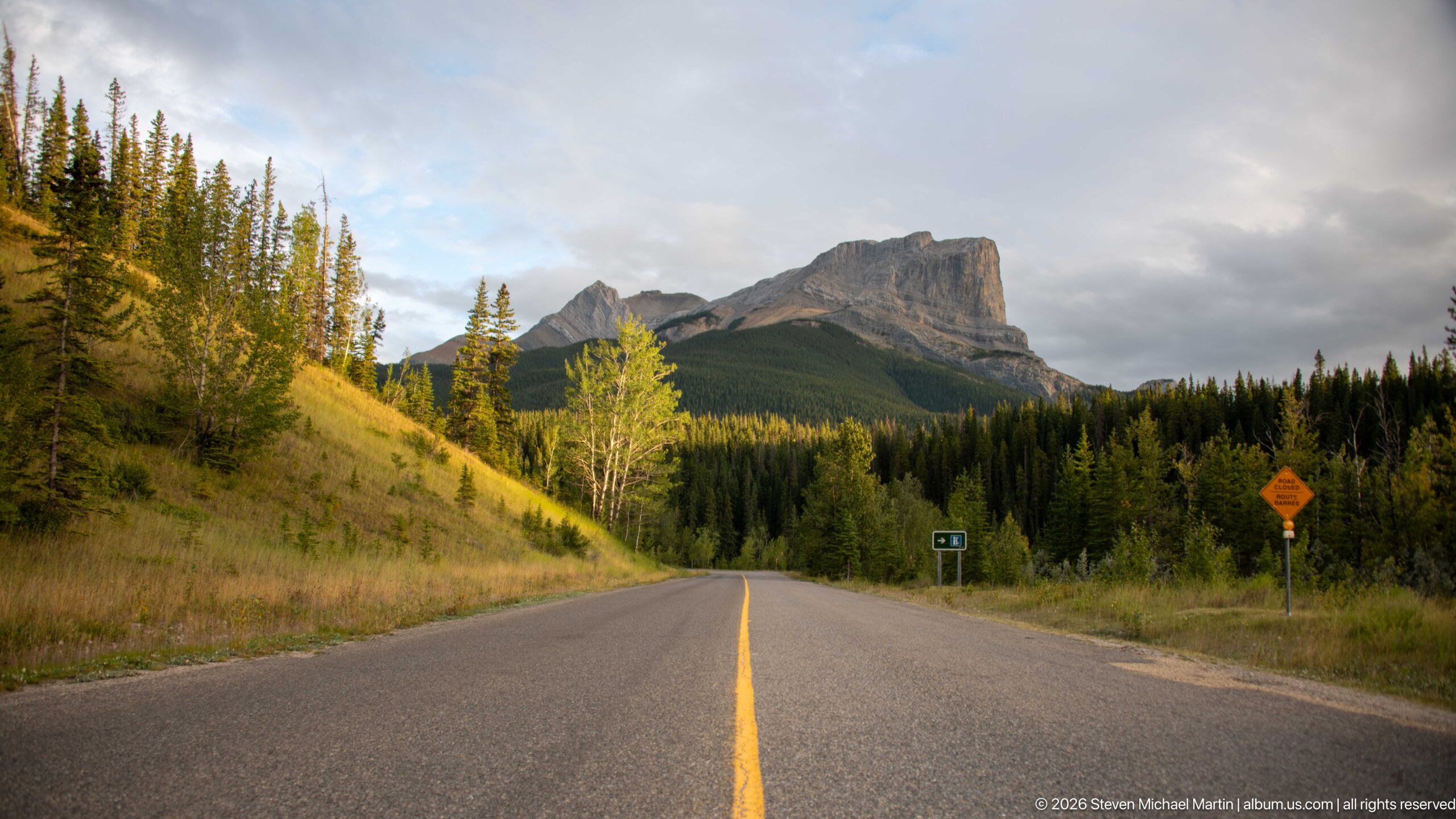
A two-lane paved road runs straight through forest and open roadside vegetation toward a massive cliffed mountain. Warm light touches the left slope while heavier cloud hangs above the peak, giving the road corridor a strong sense of approach through the northeastern Jasper landscape.
Caption
A two-lane paved road runs straight through forest and open roadside vegetation toward a massive cliffed mountain. Warm light touches the left slope while heavier cloud hangs above the peak, giving the road corridor a strong sense of approach through the northeastern Jasper landscape.
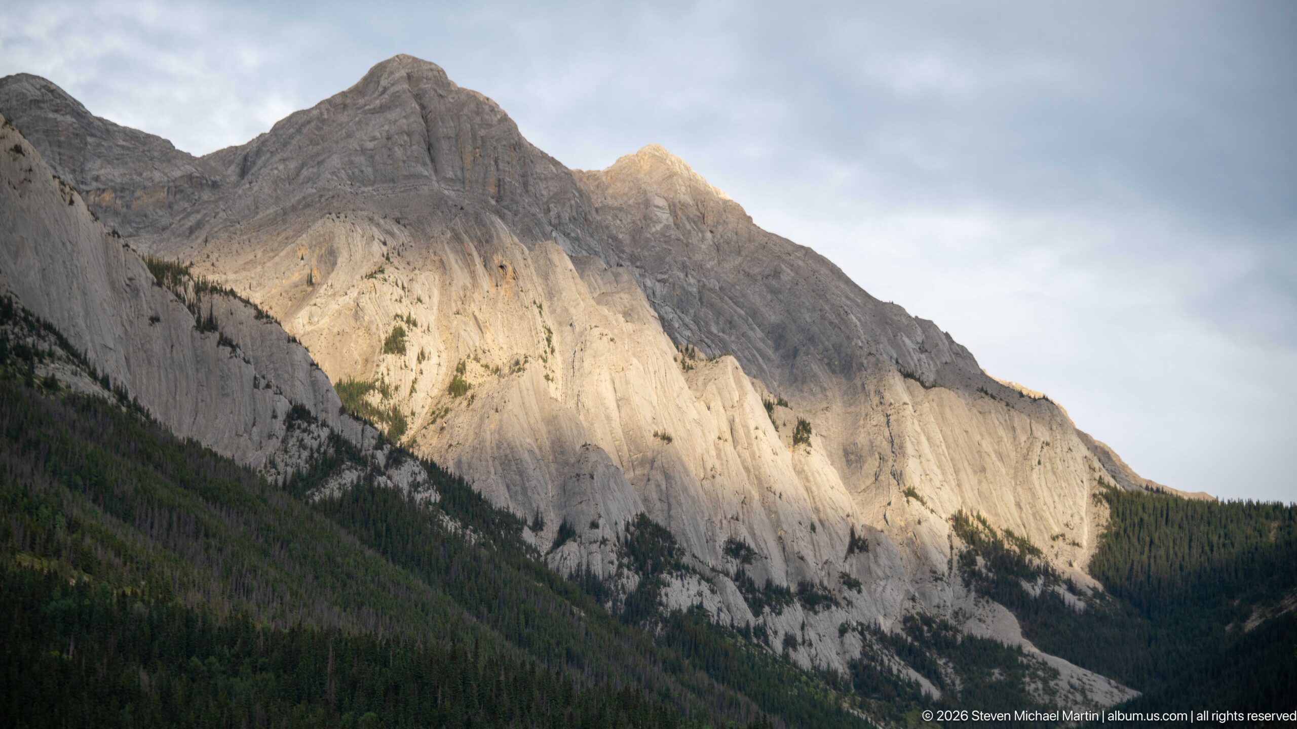
A steep pale-gray mountain wall catches a shaft of sunlight beneath broken cloud, revealing inclined strata, gullies, and resistant rock ribs above a dark conifer forest. The close view emphasizes differential erosion and the dramatic exposed sedimentary architecture of the Miette landscape.
Caption
A steep pale-gray mountain wall catches a shaft of sunlight beneath broken cloud, revealing inclined strata, gullies, and resistant rock ribs above a dark conifer forest. The close view emphasizes differential erosion and the dramatic exposed sedimentary architecture of the Miette landscape.
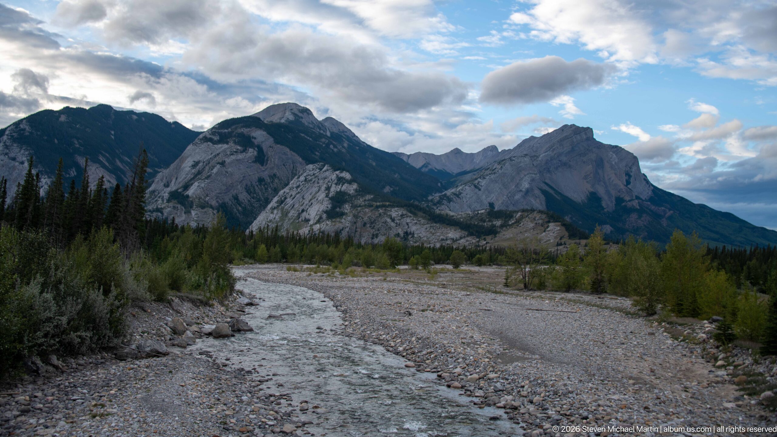
A shallow stream winds through a broad gravel and cobble channel beneath steep forested and rocky mountain slopes. The exposed sediment bars show active transport and deposition within the drainage, while the open channel creates a direct view into the rugged valley landscape.
Caption
A shallow stream winds through a broad gravel and cobble channel beneath steep forested and rocky mountain slopes. The exposed sediment bars show active transport and deposition within the drainage, while the open channel creates a direct view into the rugged valley landscape.
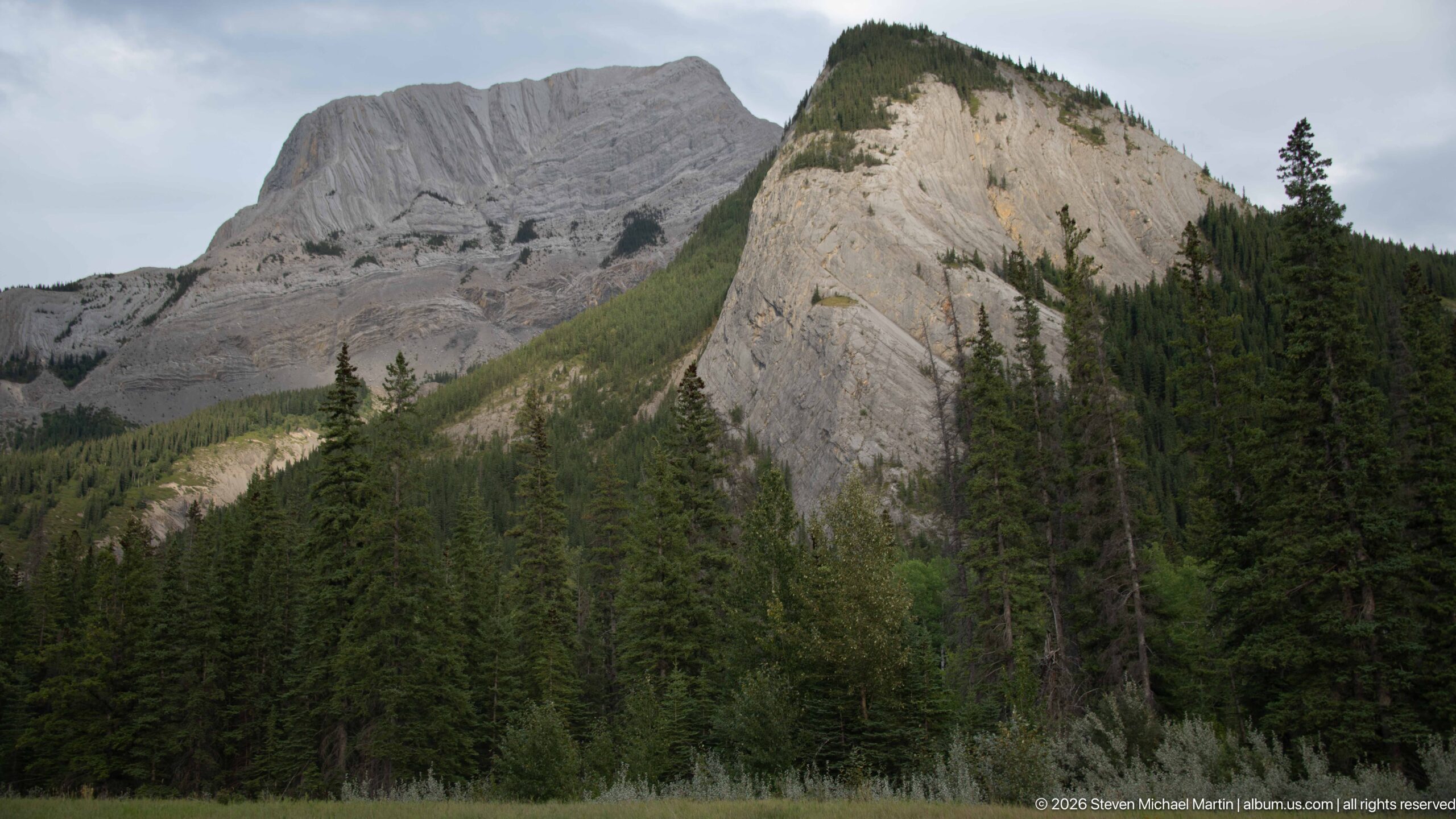
A steep gray rock face rises immediately behind conifer forest, its tilted layers, fractures, and erosional grooves exposed across the slope. The close landscape view provides a strong geological study of deformed sedimentary bedrock in the Canadian Rockies without requiring a formation-level identification.
Caption
A steep gray rock face rises immediately behind conifer forest, its tilted layers, fractures, and erosional grooves exposed across the slope. The close landscape view provides a strong geological study of deformed sedimentary bedrock in the Canadian Rockies without requiring a formation-level identification.
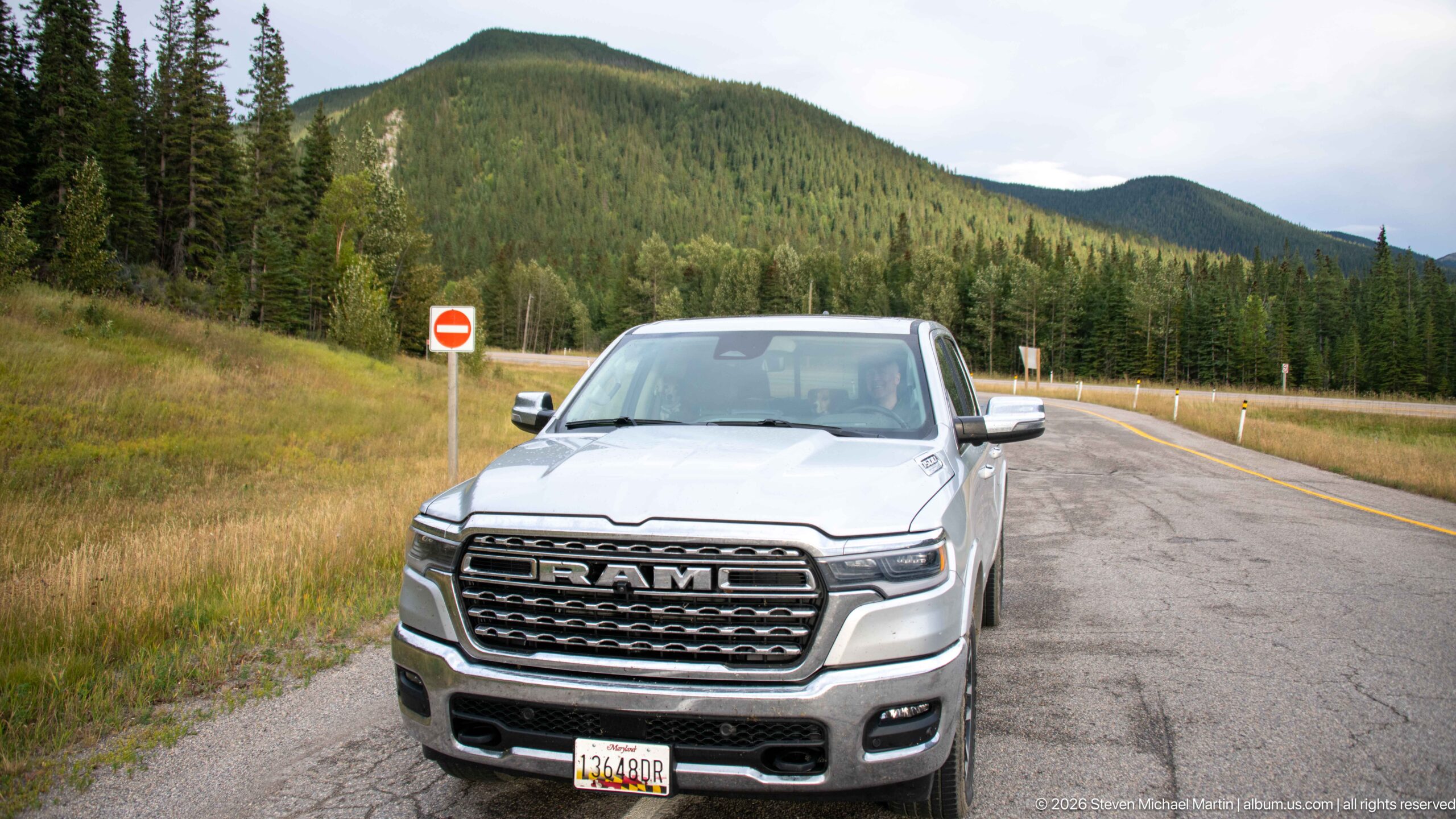
A silver RAM pickup stands at the edge of a paved mountain road, backed by dense conifer forest and rounded, forested slopes. A red-and-white regulatory sign and roadside delineators reinforce the traveled setting, documenting the vehicle and road environment used to reach the Miette district.
Caption
A silver RAM pickup stands at the edge of a paved mountain road, backed by dense conifer forest and rounded, forested slopes. A red-and-white regulatory sign and roadside delineators reinforce the traveled setting, documenting the vehicle and road environment used to reach the Miette district.
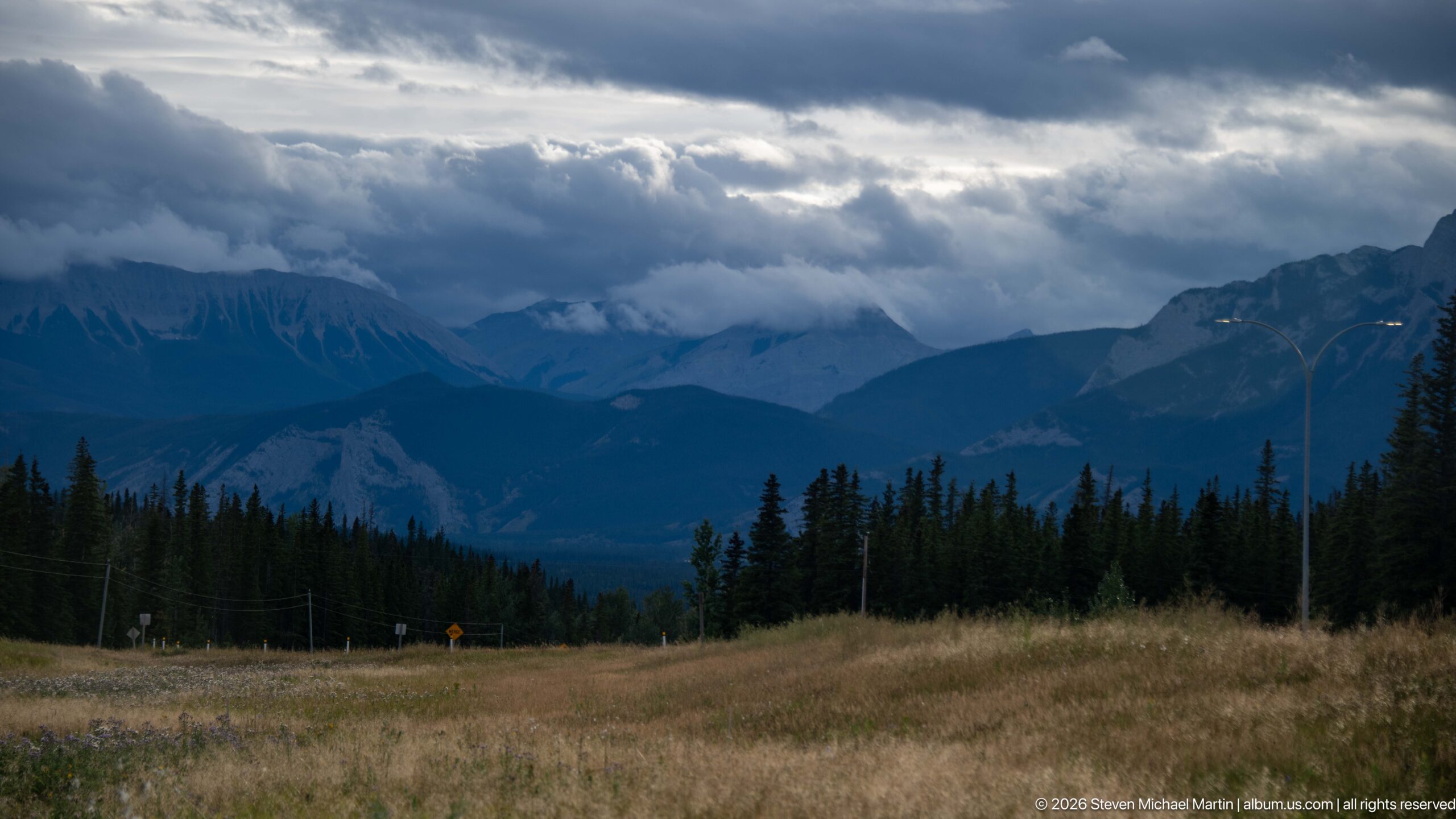
Dark storm clouds and low bands of mist hang over successive mountain ridges and a deep forested valley. The layered view emphasizes changing weather across the Canadian Rockies, with pale exposed rock and dark conifer silhouettes receding toward the center of the scene.
Caption
Dark storm clouds and low bands of mist hang over successive mountain ridges and a deep forested valley. The layered view emphasizes changing weather across the Canadian Rockies, with pale exposed rock and dark conifer silhouettes receding toward the center of the scene.
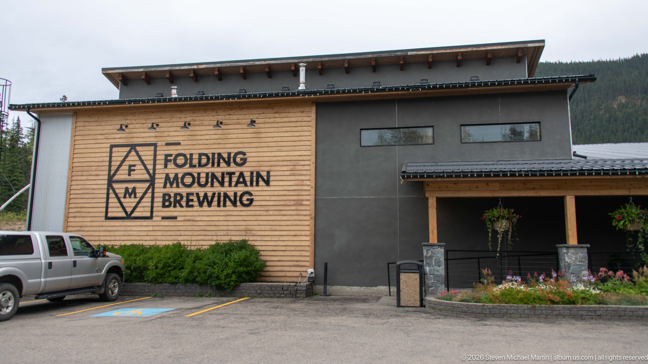
The exterior of Folding Mountain Brewing combines light wood siding with dark wall panels and a broad contemporary roofline. Its large geometric logo and name dominate the façade, while a covered entrance, flowers, and parked vehicles place the brewery within a developed mountain-road setting.
Caption
The exterior of Folding Mountain Brewing combines light wood siding with dark wall panels and a broad contemporary roofline. Its large geometric logo and name dominate the façade, while a covered entrance, flowers, and parked vehicles place the brewery within a developed mountain-road setting.
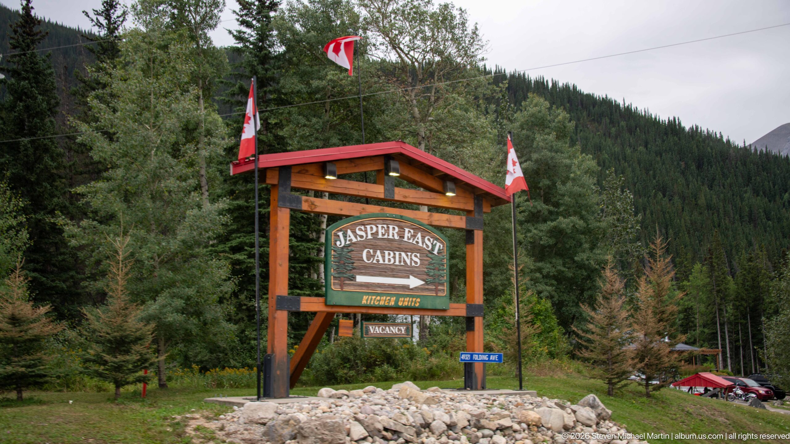
A timber-framed sign announces 'Jasper East Cabins' against a steep, densely forested mountain slope. Canadian flags rise above the rustic structure, while smaller directional panels at its base reinforce the lodging property's roadside identity.
Caption
A timber-framed sign announces 'Jasper East Cabins' against a steep, densely forested mountain slope. Canadian flags rise above the rustic structure, while smaller directional panels at its base reinforce the lodging property's roadside identity.
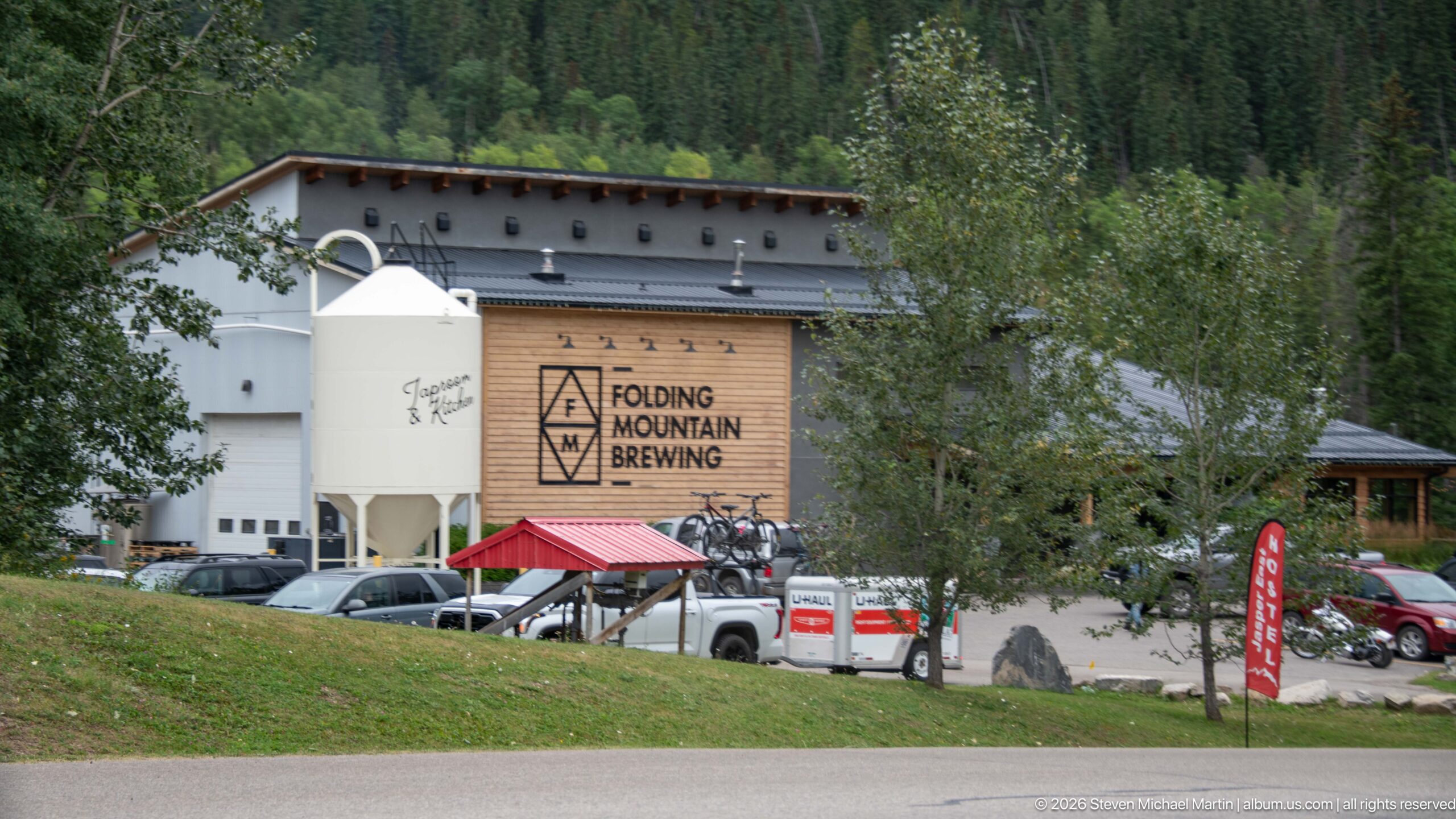
Folding Mountain Brewing appears across a busy parking area, with its geometric logo mounted on the wood-clad wall and a large white brewing vessel or silo beside the building. Vehicles, outdoor furnishings, and surrounding trees show the brewery as an active roadside stop in the mountain corridor.
Caption
Folding Mountain Brewing appears across a busy parking area, with its geometric logo mounted on the wood-clad wall and a large white brewing vessel or silo beside the building. Vehicles, outdoor furnishings, and surrounding trees show the brewery as an active roadside stop in the mountain corridor.
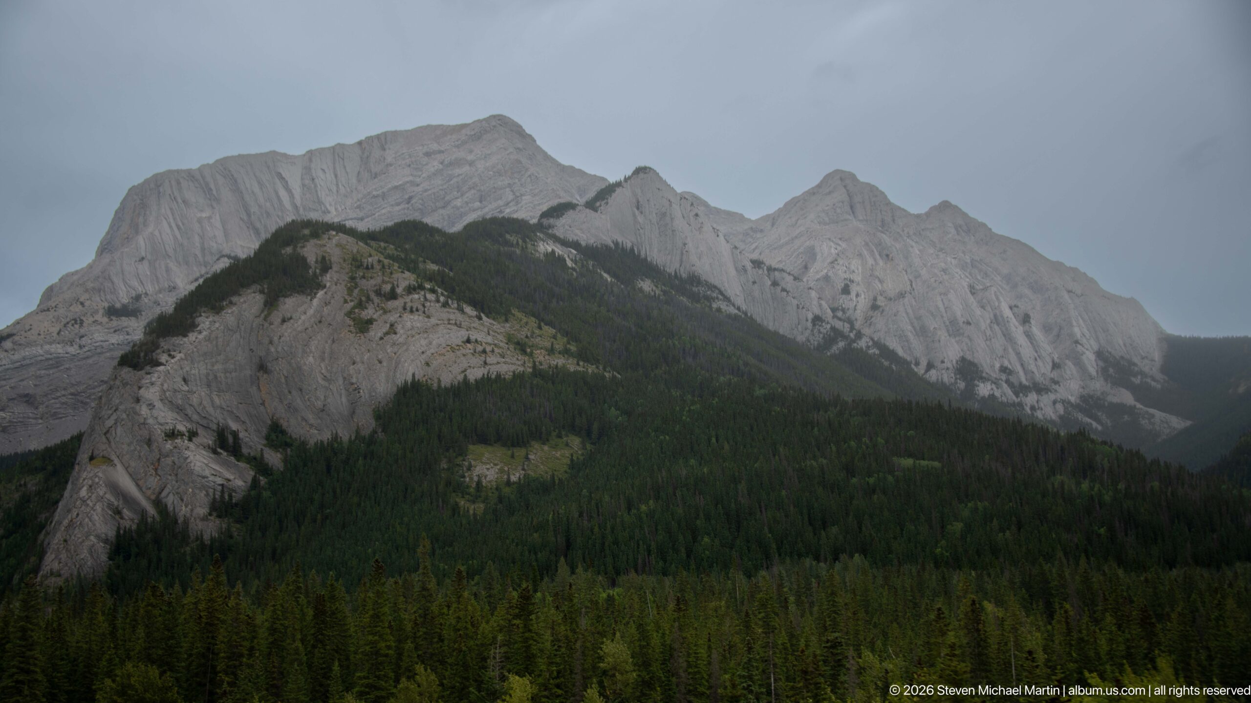
A pale-gray sedimentary ridge rises sharply above dark conifer forest, its tilted beds, gullies, and resistant ribs forming a jagged skyline beneath overcast light. The broad view emphasizes deformation and differential erosion in the Canadian Rockies without assigning an unsupported peak name.
Caption
A pale-gray sedimentary ridge rises sharply above dark conifer forest, its tilted beds, gullies, and resistant ribs forming a jagged skyline beneath overcast light. The broad view emphasizes deformation and differential erosion in the Canadian Rockies without assigning an unsupported peak name.
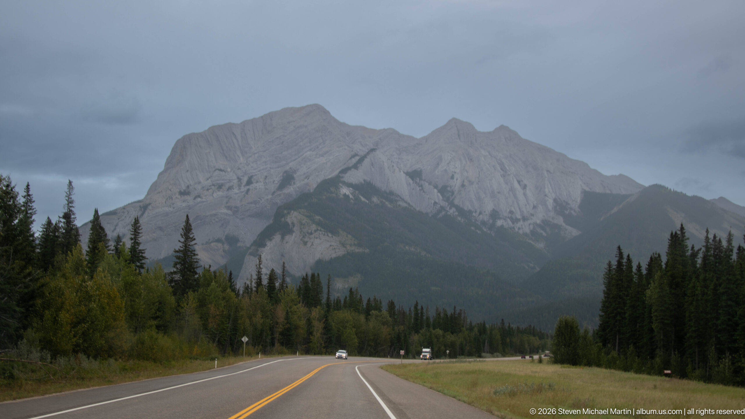
A two-lane highway curves gently toward a massive pale-gray mountain ridge, with conifers and mixed roadside vegetation framing the route. The road provides scale for the steep exposed rock and forested lower slopes, documenting the mountain corridor traveled near Jasper.
Caption
A two-lane highway curves gently toward a massive pale-gray mountain ridge, with conifers and mixed roadside vegetation framing the route. The road provides scale for the steep exposed rock and forested lower slopes, documenting the mountain corridor traveled near Jasper.
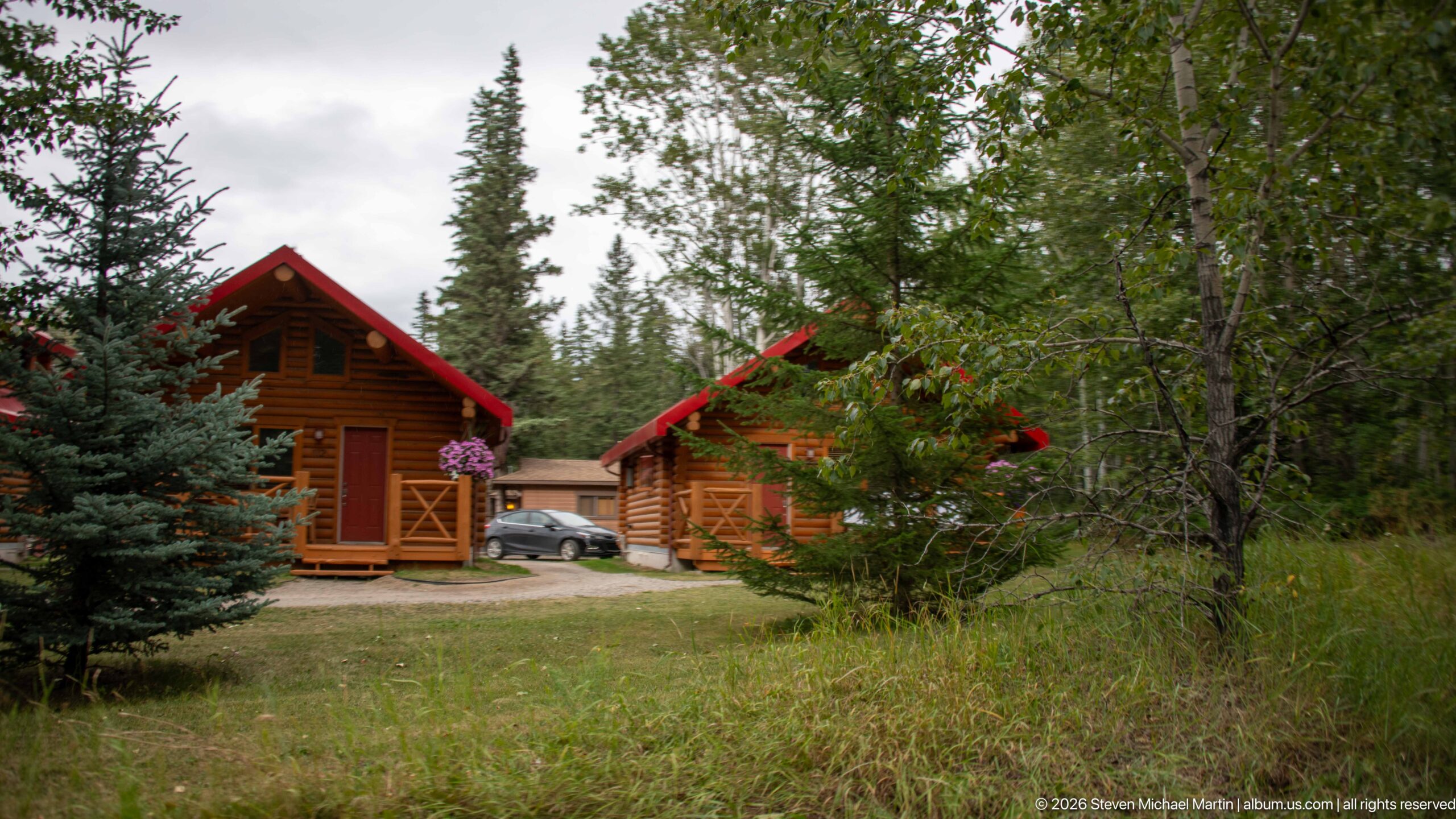
Small wood cabins with red-trimmed gable roofs sit among spruce, deciduous trees, and meadow vegetation. Their rustic log-style construction and dispersed arrangement document the cabin lodging landscape associated with the Jasper approach.
Caption
Small wood cabins with red-trimmed gable roofs sit among spruce, deciduous trees, and meadow vegetation. Their rustic log-style construction and dispersed arrangement document the cabin lodging landscape associated with the Jasper approach.
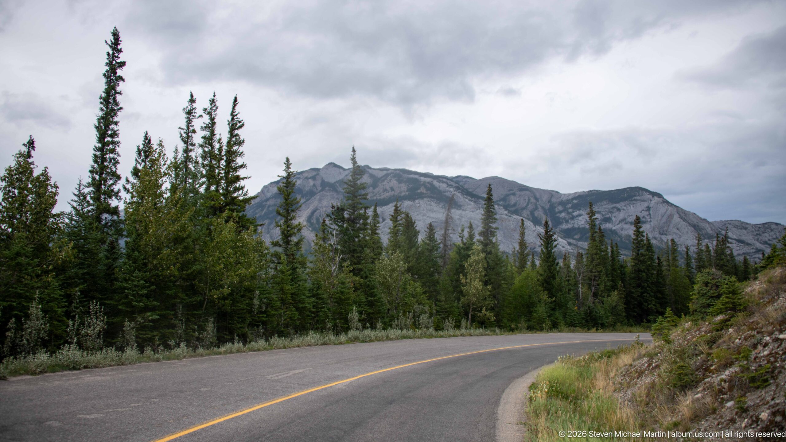
A paved road bends through dense conifer forest as a long, exposed sedimentary ridge rises beyond the trees. The curve and roadside rock cut lead the eye into the mountain landscape, illustrating the close relationship between transportation and steep terrain along the Jasper corridor.
Caption
A paved road bends through dense conifer forest as a long, exposed sedimentary ridge rises beyond the trees. The curve and roadside rock cut lead the eye into the mountain landscape, illustrating the close relationship between transportation and steep terrain along the Jasper corridor.
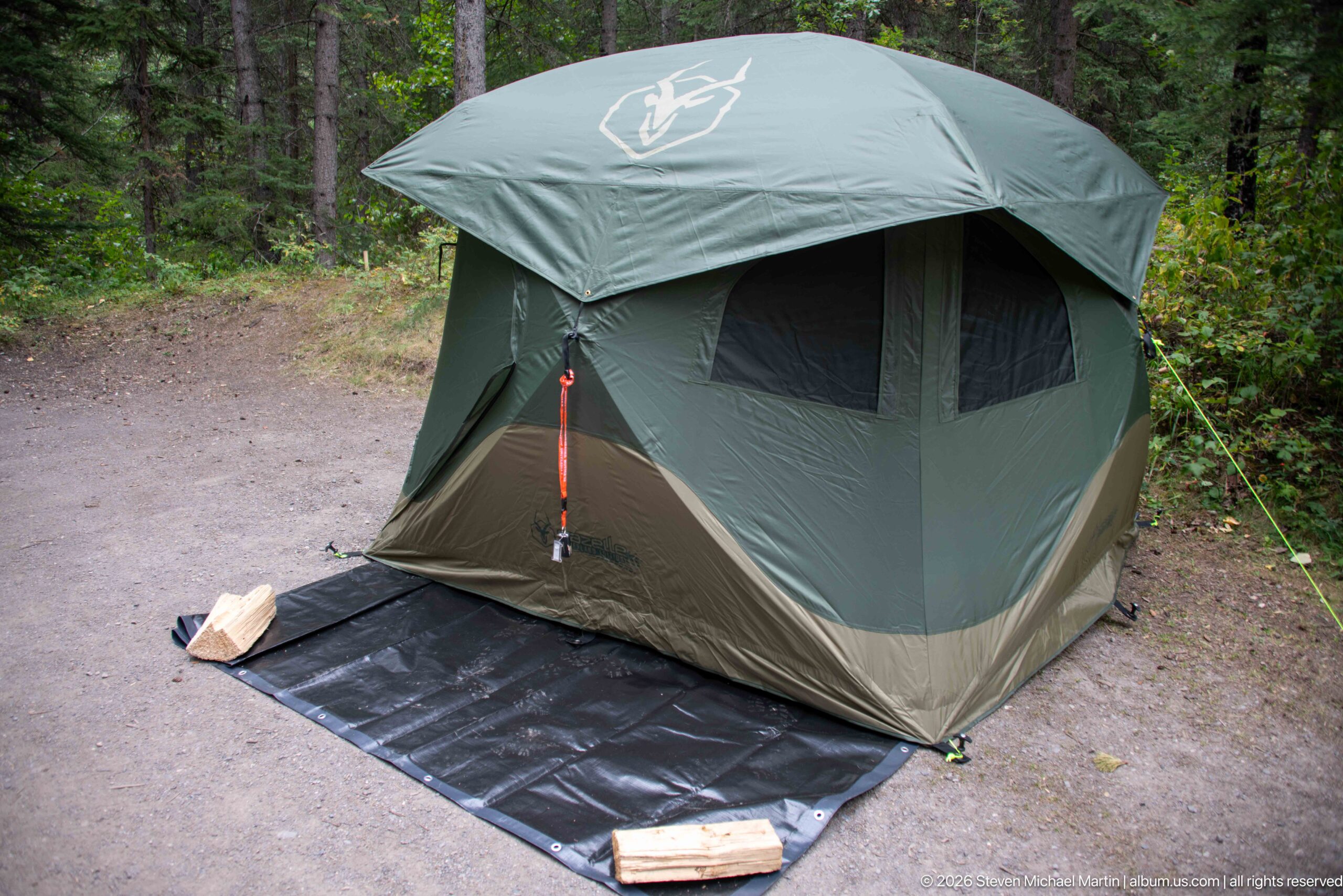
A large green freestanding tent is fully pitched on a black groundsheet at a forest campsite, with guy lines tensioned around the shelter and small pieces of gear near the entrance. The close view records the practical camping setup used during the Jasper journey.
Caption
A large green freestanding tent is fully pitched on a black groundsheet at a forest campsite, with guy lines tensioned around the shelter and small pieces of gear near the entrance. The close view records the practical camping setup used during the Jasper journey.
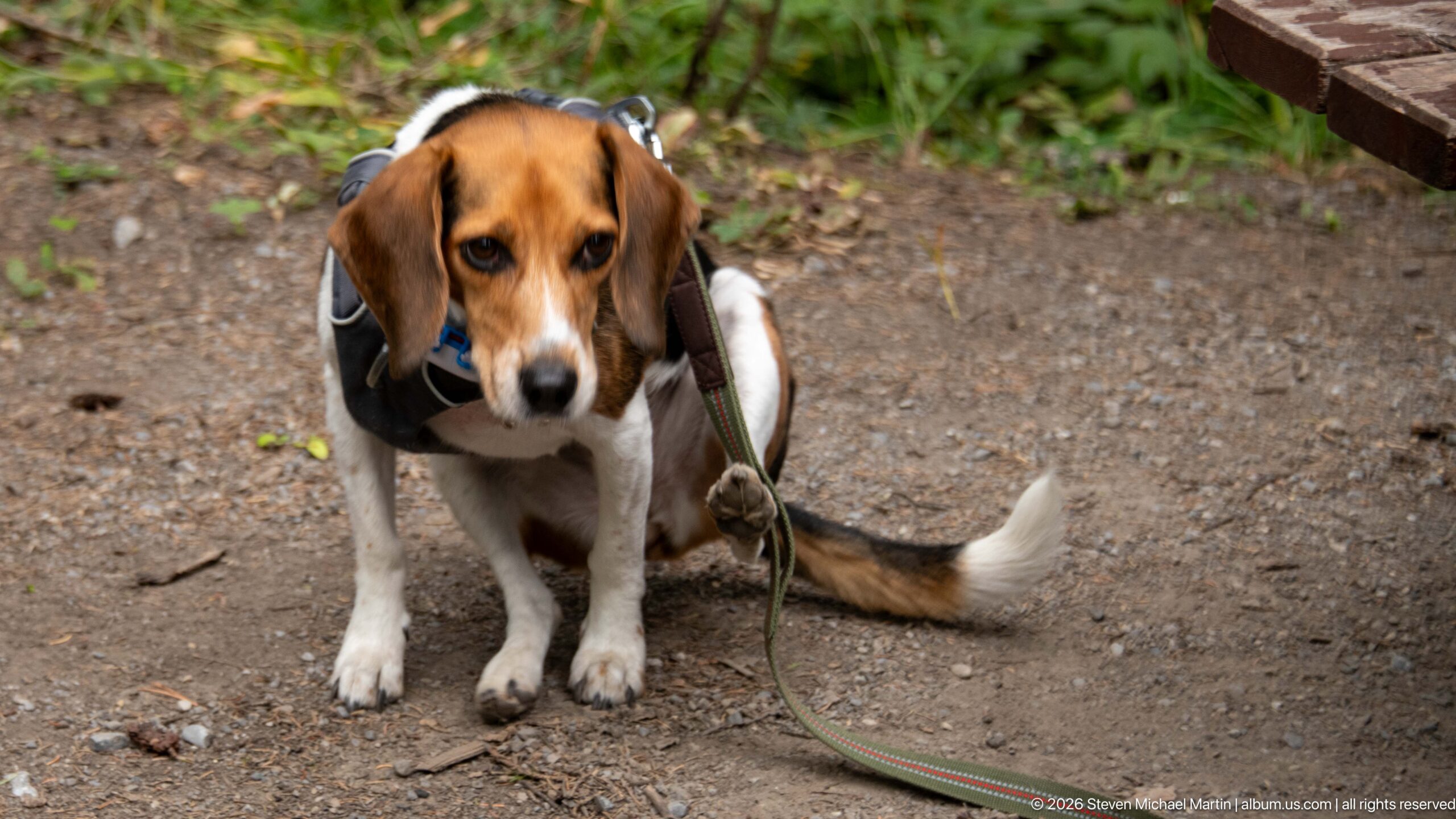
A beagle sits on the campsite ground wearing a dark harness and attached leash, looking directly toward the camera. The close portrait isolates the dog against gravel, vegetation, and the edge of a picnic structure, documenting pet travel during the Jasper stay.
Caption
A beagle sits on the campsite ground wearing a dark harness and attached leash, looking directly toward the camera. The close portrait isolates the dog against gravel, vegetation, and the edge of a picnic structure, documenting pet travel during the Jasper stay.
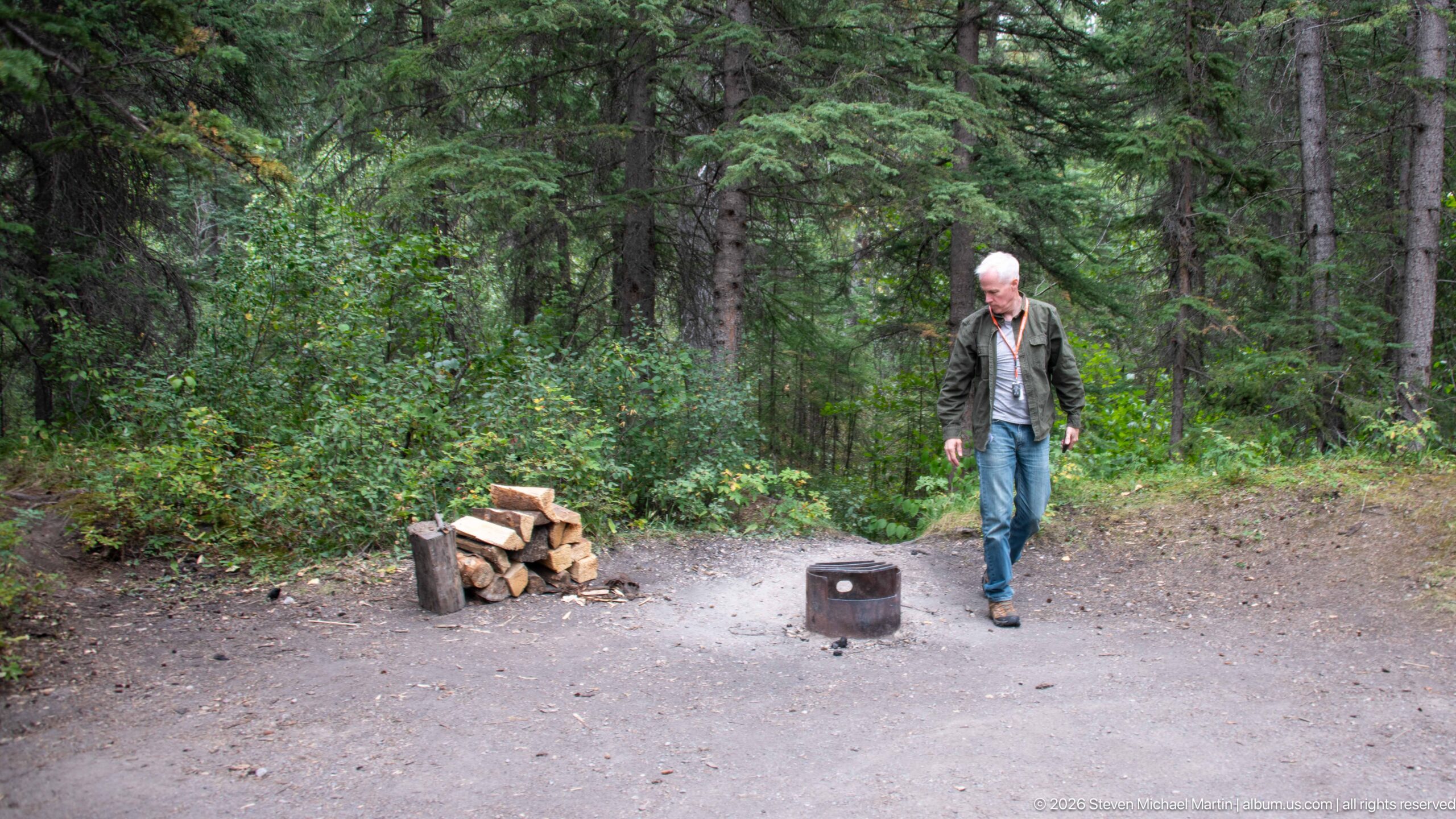
A circular metal fire ring stands on a gravel campsite beside a neat stack of split firewood and a chopping block. A person approaches from the forest edge, while dense spruce and understory vegetation enclose the site, recording the functional details of the camping setup.
Caption
A circular metal fire ring stands on a gravel campsite beside a neat stack of split firewood and a chopping block. A person approaches from the forest edge, while dense spruce and understory vegetation enclose the site, recording the functional details of the camping setup.
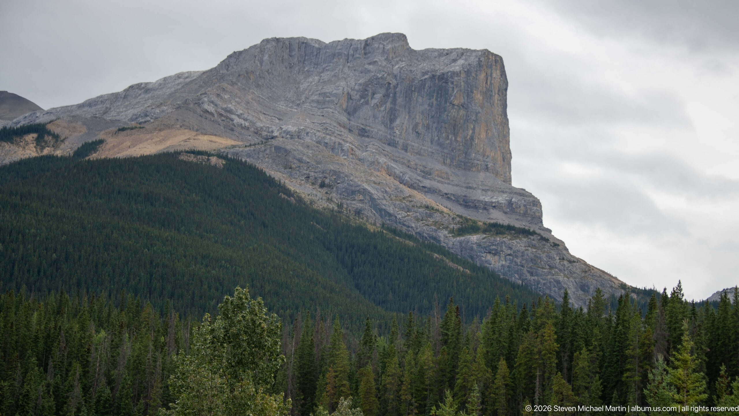
A massive gray mountain rises above dense conifers, terminating in an imposing near-vertical cliff on the right. Inclined strata and broad ledges are exposed across the upper face, providing a clear study of resistant sedimentary rock and erosion in the Canadian Rockies.
Caption
A massive gray mountain rises above dense conifers, terminating in an imposing near-vertical cliff on the right. Inclined strata and broad ledges are exposed across the upper face, providing a clear study of resistant sedimentary rock and erosion in the Canadian Rockies.
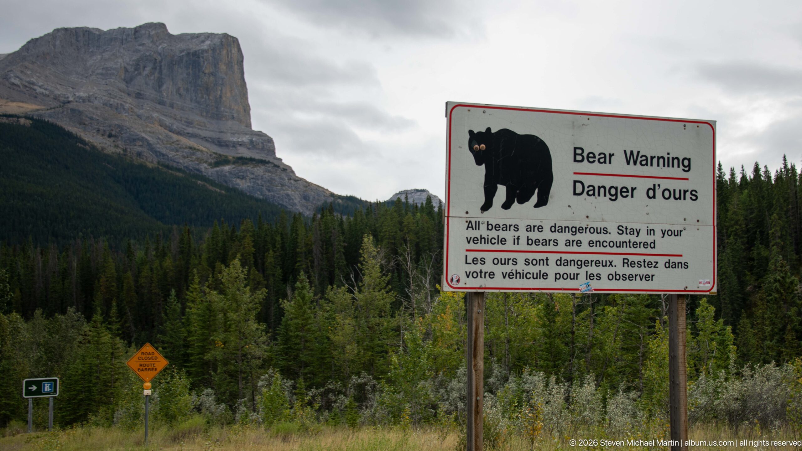
A bilingual 'Bear Warning / Danger d’ours' sign stands beside the road with a towering cliffed mountain and conifer forest behind it. The sign instructs visitors to remain in their vehicle if bears are encountered, pairing wildlife-safety messaging with the rugged Jasper-area landscape.
Caption
A bilingual 'Bear Warning / Danger d’ours' sign stands beside the road with a towering cliffed mountain and conifer forest behind it. The sign instructs visitors to remain in their vehicle if bears are encountered, pairing wildlife-safety messaging with the rugged Jasper-area landscape.
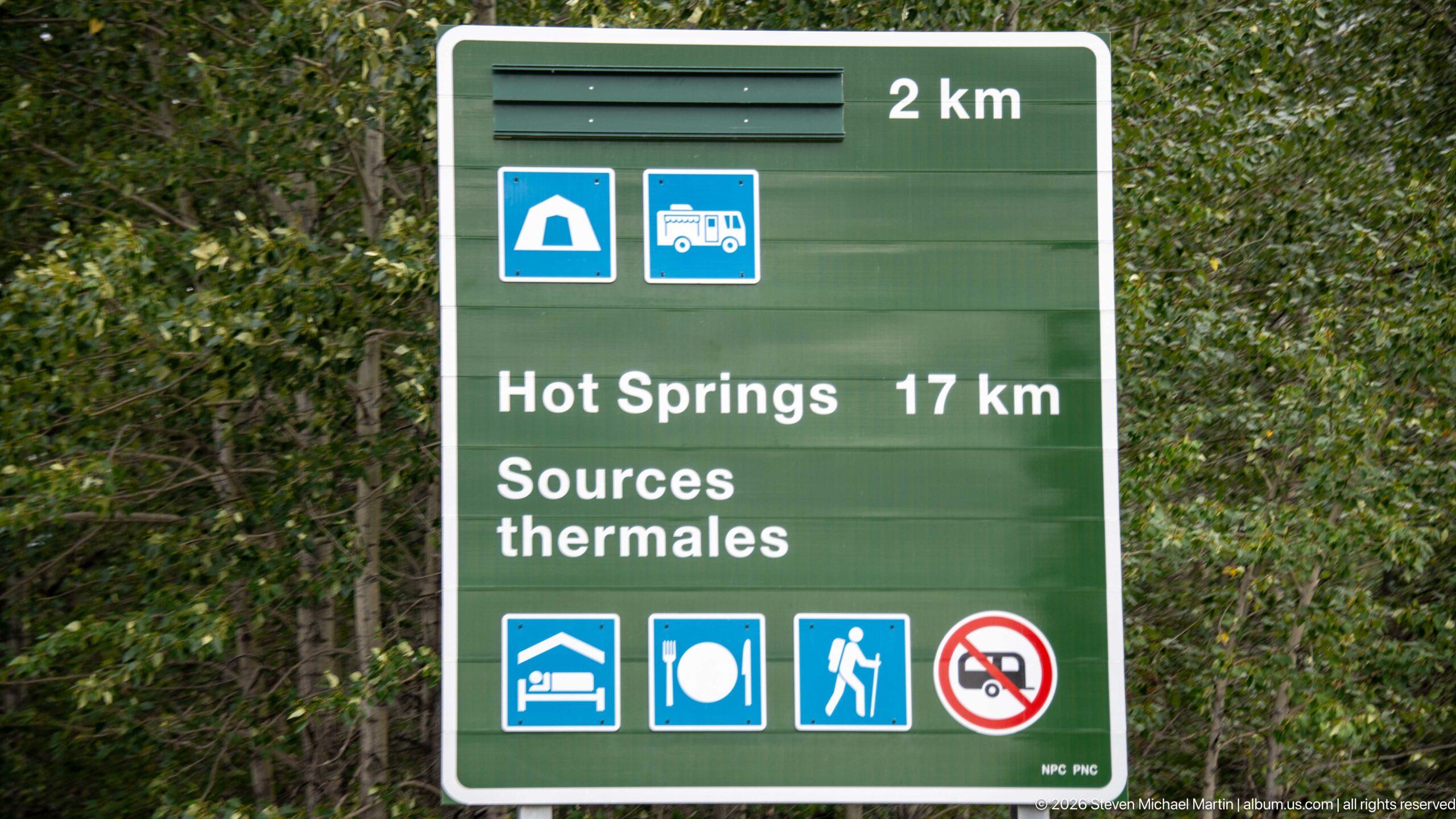
A green bilingual highway-services sign directs travelers toward the Hot Springs, listed as 17 km away, while icons indicate camping, recreational vehicle services, lodging, food, hiking, and a vehicle restriction. The sign provides direct route evidence for the approach toward Miette Hot Springs.
Caption
A green bilingual highway-services sign directs travelers toward the Hot Springs, listed as 17 km away, while icons indicate camping, recreational vehicle services, lodging, food, hiking, and a vehicle restriction. The sign provides direct route evidence for the approach toward Miette Hot Springs.
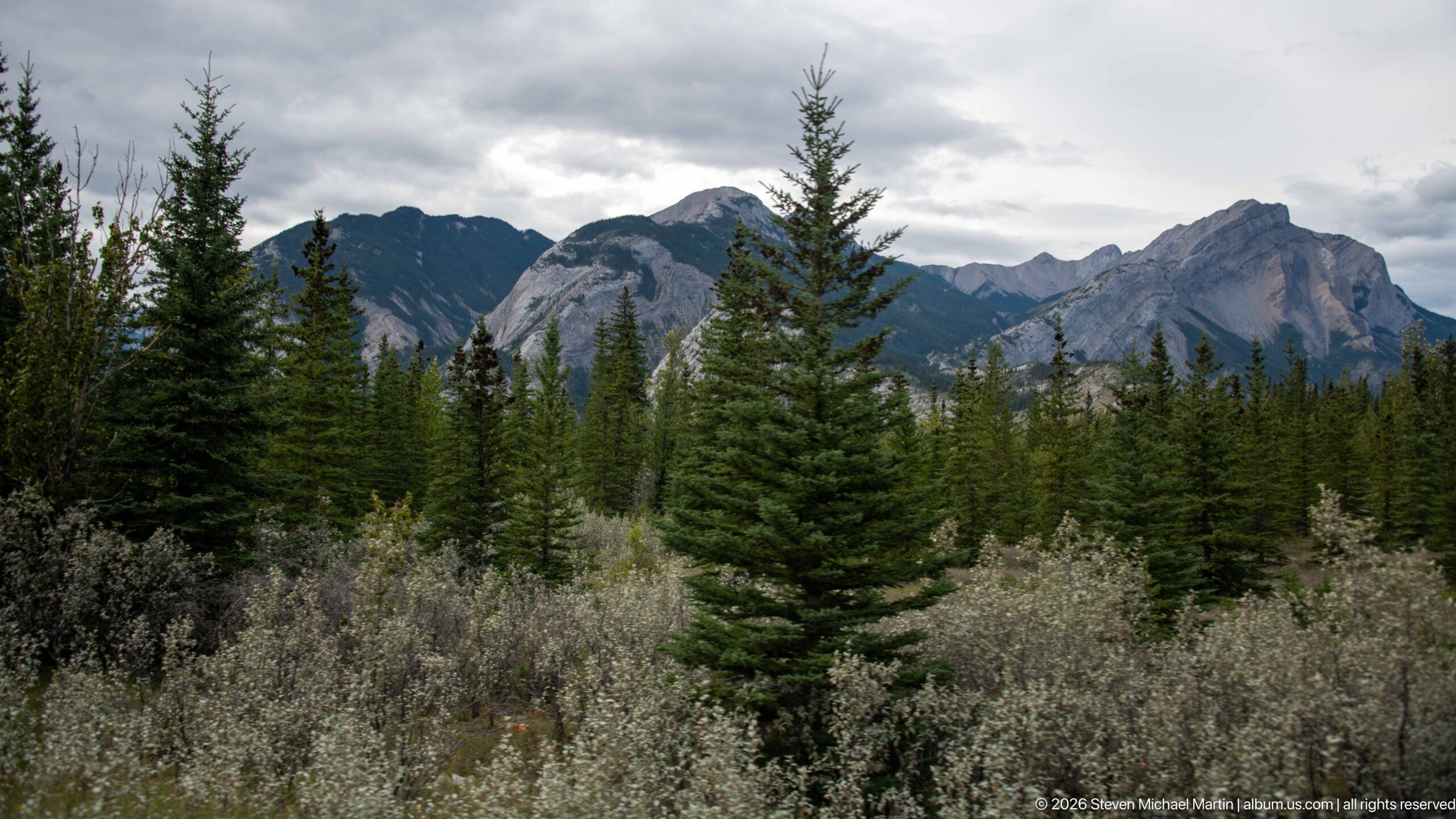
Dense conifers and silvery shrubs fill the foreground beneath a series of rugged gray peaks and ridges under low cloud. The vegetation layers create depth across the valley floor while the exposed rock records the steep relief of the Miette-area mountain landscape.
Caption
Dense conifers and silvery shrubs fill the foreground beneath a series of rugged gray peaks and ridges under low cloud. The vegetation layers create depth across the valley floor while the exposed rock records the steep relief of the Miette-area mountain landscape.
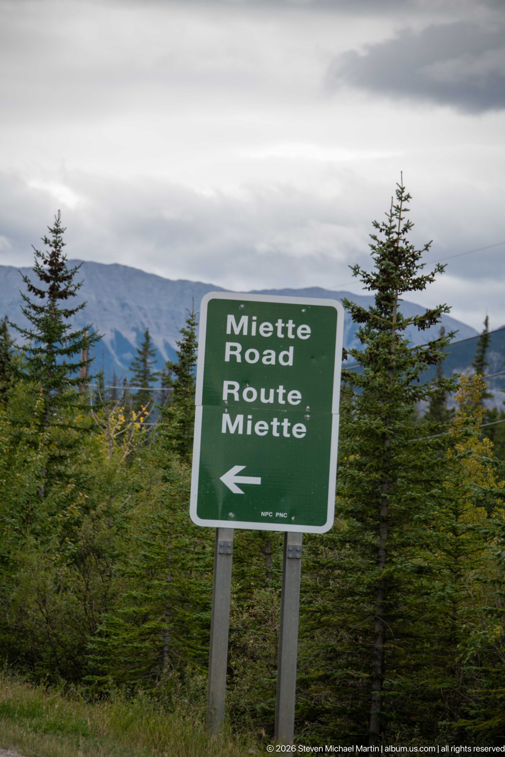
A green roadside sign marked 'Miette Road / Route Miette' points left through a conifer-lined mountain corridor. The bilingual marker directly identifies the road leading toward the Fiddle River valley and Miette Hot Springs.
Caption
A green roadside sign marked 'Miette Road / Route Miette' points left through a conifer-lined mountain corridor. The bilingual marker directly identifies the road leading toward the Fiddle River valley and Miette Hot Springs.
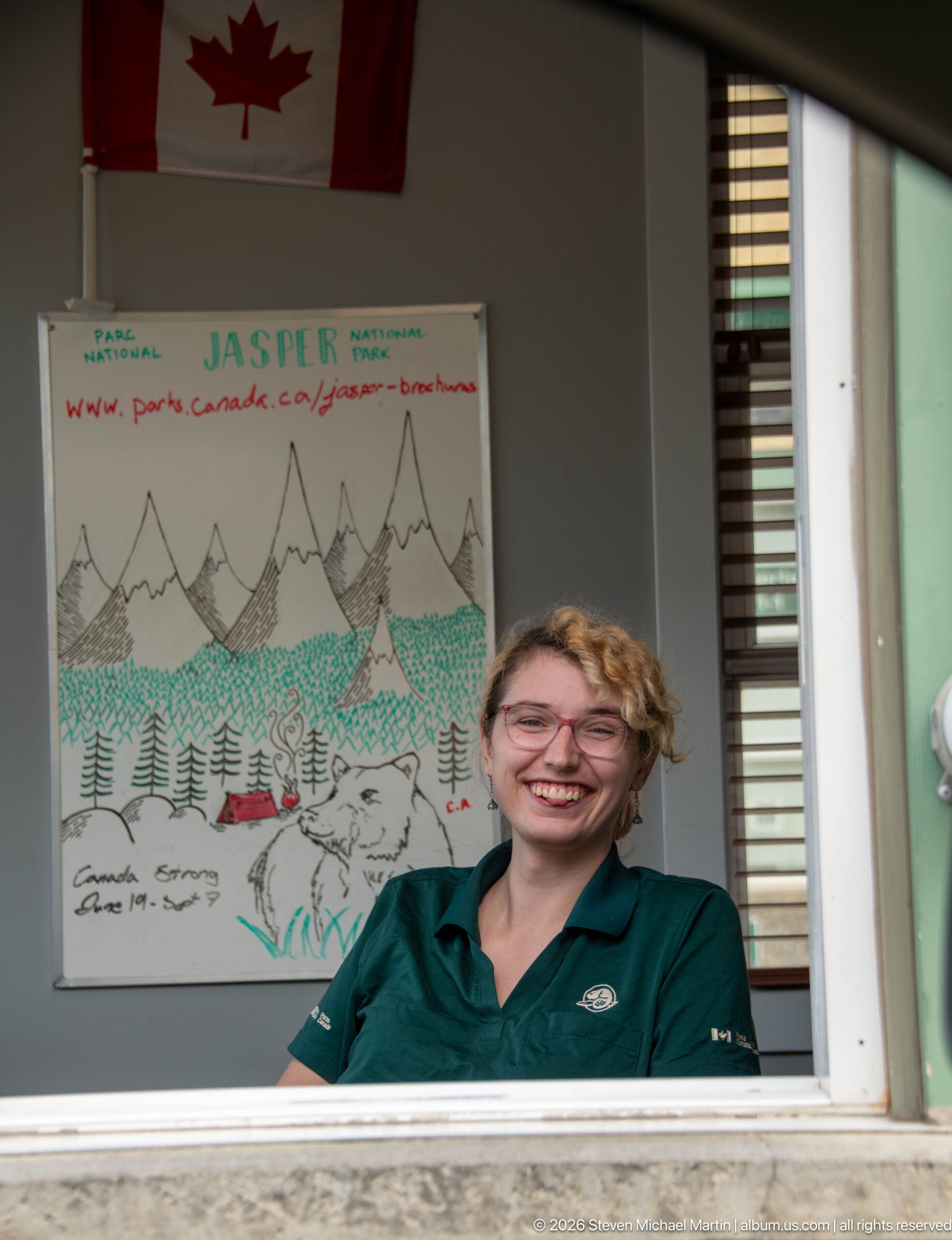
A uniformed staff member smiles through a service window beneath a Canadian flag, with a hand-drawn Jasper-themed poster displayed behind. The close portrait records a staffed point of contact associated with arrival in Jasper National Park.
Caption
A uniformed staff member smiles through a service window beneath a Canadian flag, with a hand-drawn Jasper-themed poster displayed behind. The close portrait records a staffed point of contact associated with arrival in Jasper National Park.
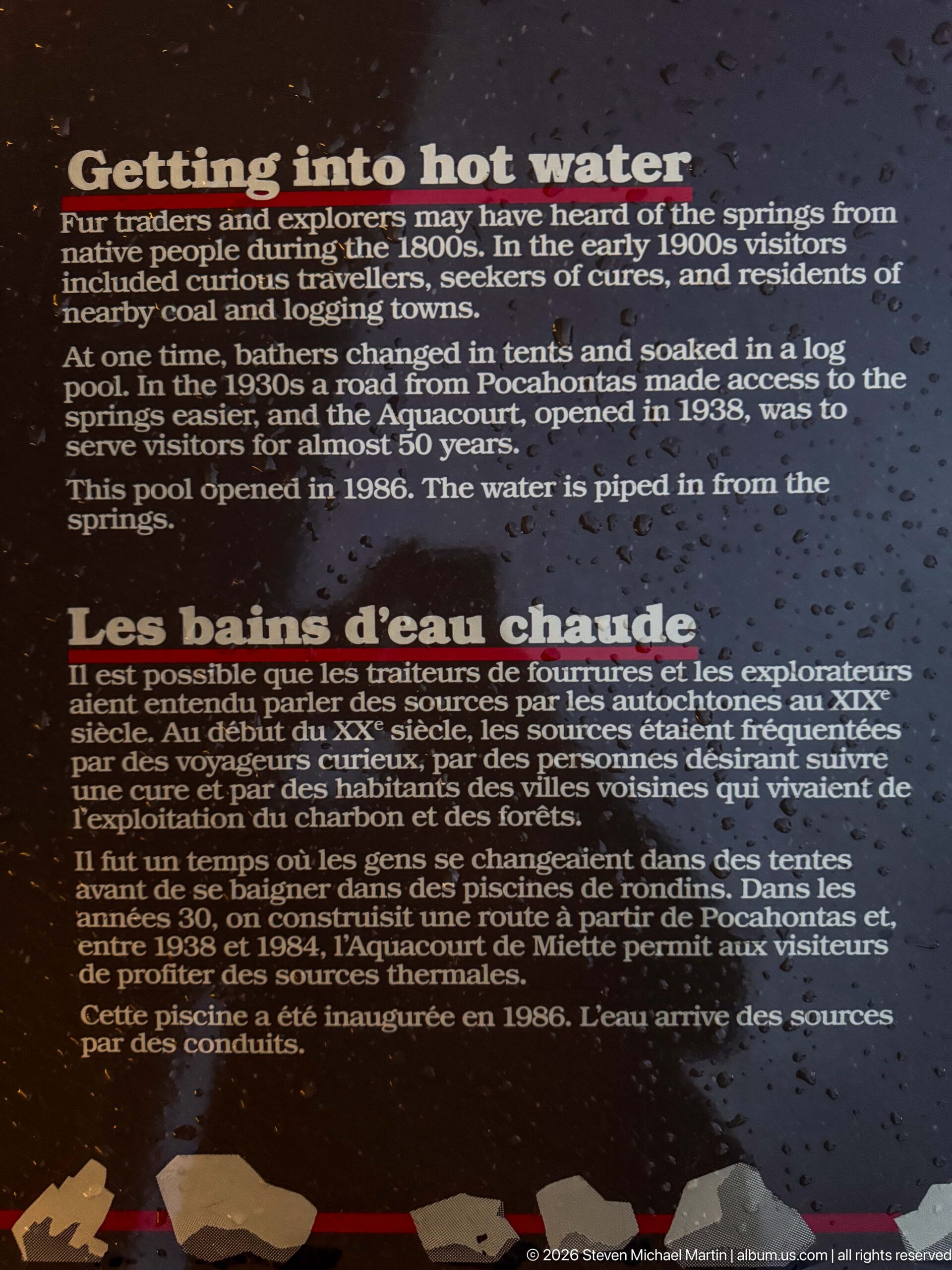
A bilingual panel headed 'into hot water / Les bains d’eau chaude' summarizes the transition from Indigenous knowledge of the springs through later exploration to developed bathing facilities. References to early pools, the Aquacourt, and road access place Miette's recreational history within the broader development of Jasper National Park.
Caption
A bilingual panel headed 'into hot water / Les bains d’eau chaude' summarizes the transition from Indigenous knowledge of the springs through later exploration to developed bathing facilities. References to early pools, the Aquacourt, and road access place Miette's recreational history within the broader development of Jasper National Park.
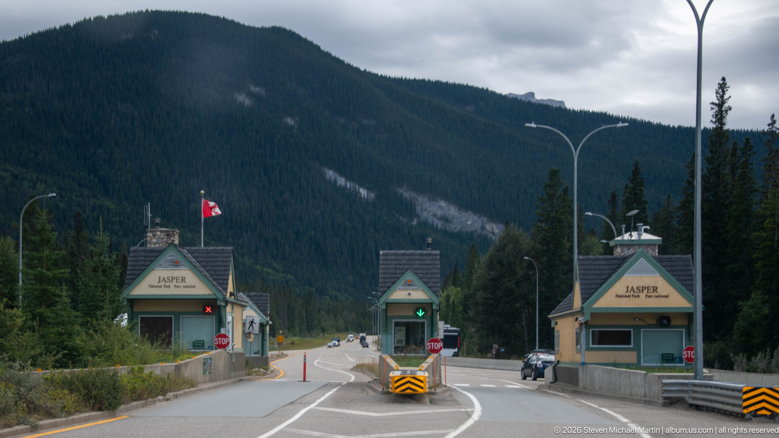
Multiple peaked-roof entrance booths marked 'Jasper' stand across a divided roadway beneath a Canadian flag, with forested mountain slopes rising immediately behind. Lane signals, stop signs, and concrete islands identify the complex as a controlled park-entry point.
Caption
Multiple peaked-roof entrance booths marked 'Jasper' stand across a divided roadway beneath a Canadian flag, with forested mountain slopes rising immediately behind. Lane signals, stop signs, and concrete islands identify the complex as a controlled park-entry point.
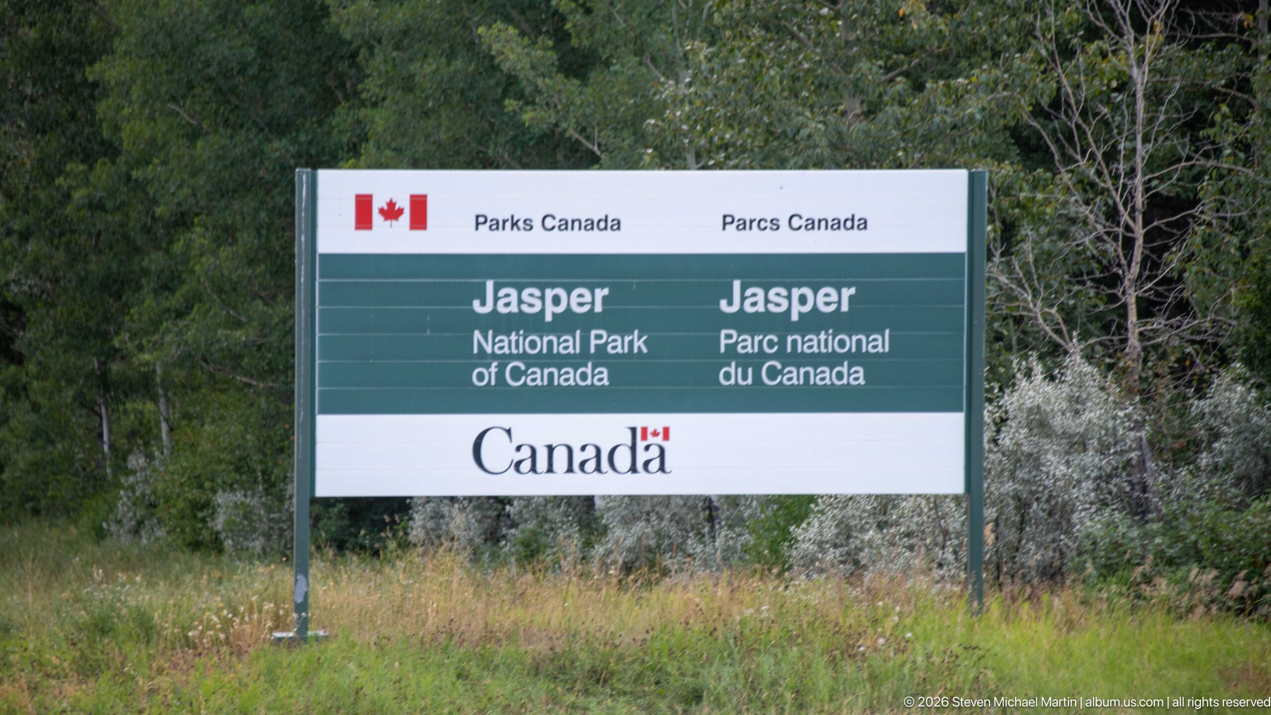
A large Parks Canada sign identifies 'Jasper National Park of Canada / Jasper Parc national du Canada' in English and French. Set amid grasses and forest vegetation, the marker provides direct documentary evidence of entry into Jasper National Park.
Caption
A large Parks Canada sign identifies 'Jasper National Park of Canada / Jasper Parc national du Canada' in English and French. Set amid grasses and forest vegetation, the marker provides direct documentary evidence of entry into Jasper National Park.
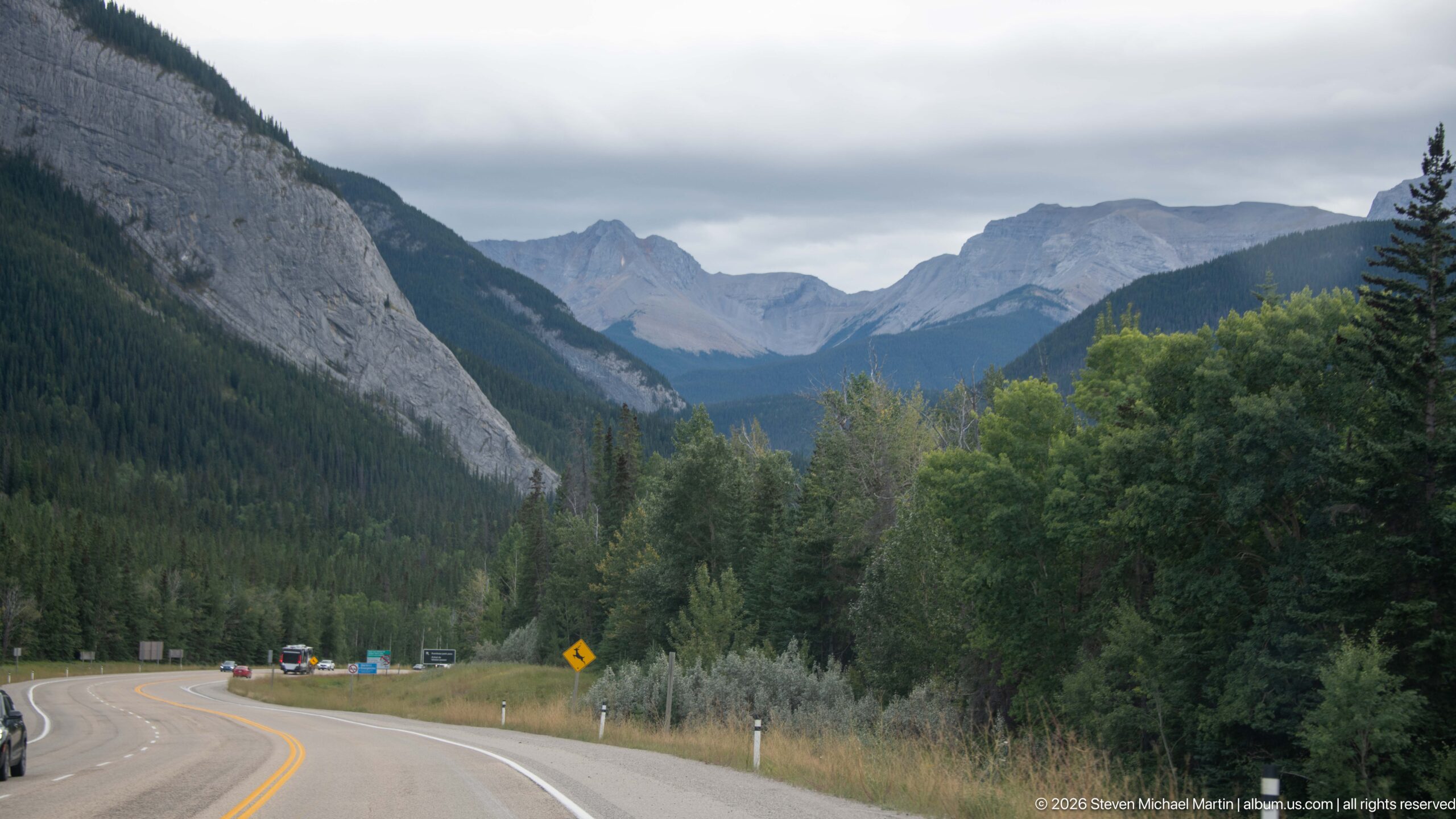
A paved highway bends through a broad forested valley toward distant jagged peaks, with steep gray rock rising close on the left. The composition uses the roadway to reveal the scale of Jasper's mountain corridor and the transition between forested lower slopes and exposed high relief.
Caption
A paved highway bends through a broad forested valley toward distant jagged peaks, with steep gray rock rising close on the left. The composition uses the roadway to reveal the scale of Jasper's mountain corridor and the transition between forested lower slopes and exposed high relief.
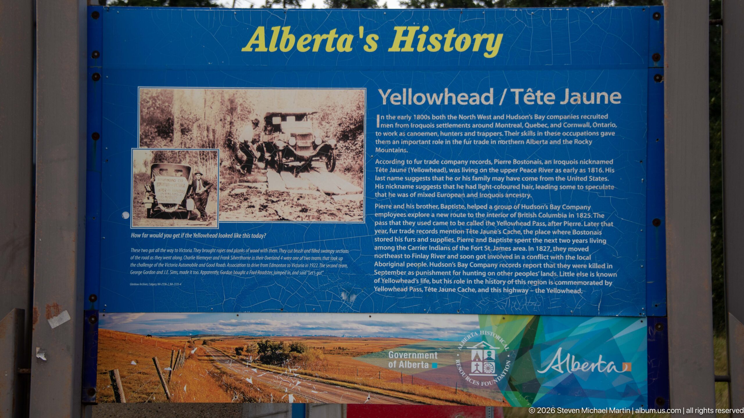
An interpretive panel headed 'Alberta’s History' presents the story of the Yellowhead route in English and French, using historic photographs, text, and a landscape image. The display connects modern travel through the corridor with the transportation history associated with the Yellowhead name.
Caption
An interpretive panel headed 'Alberta’s History' presents the story of the Yellowhead route in English and French, using historic photographs, text, and a landscape image. The display connects modern travel through the corridor with the transportation history associated with the Yellowhead name.
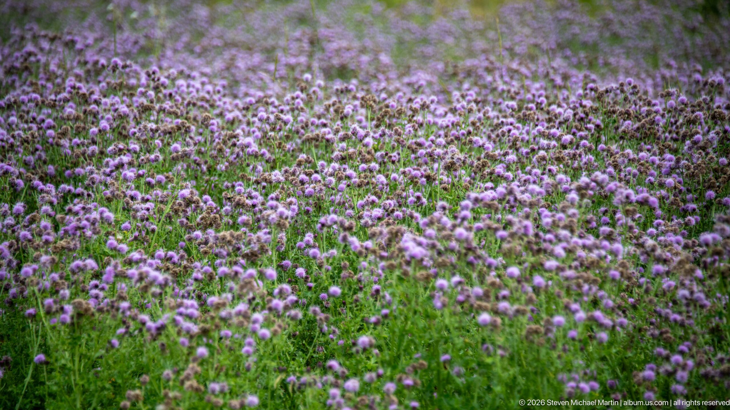
Hundreds of purple, thistle-like flower heads rise above green roadside vegetation, forming a dense textured field. The shallow view emphasizes repeated blooms at different stages, from fresh purple flower heads to browning seed structures, without requiring a species-level identification from the proof sheet.
Caption
Hundreds of purple, thistle-like flower heads rise above green roadside vegetation, forming a dense textured field. The shallow view emphasizes repeated blooms at different stages, from fresh purple flower heads to browning seed structures, without requiring a species-level identification from the proof sheet.
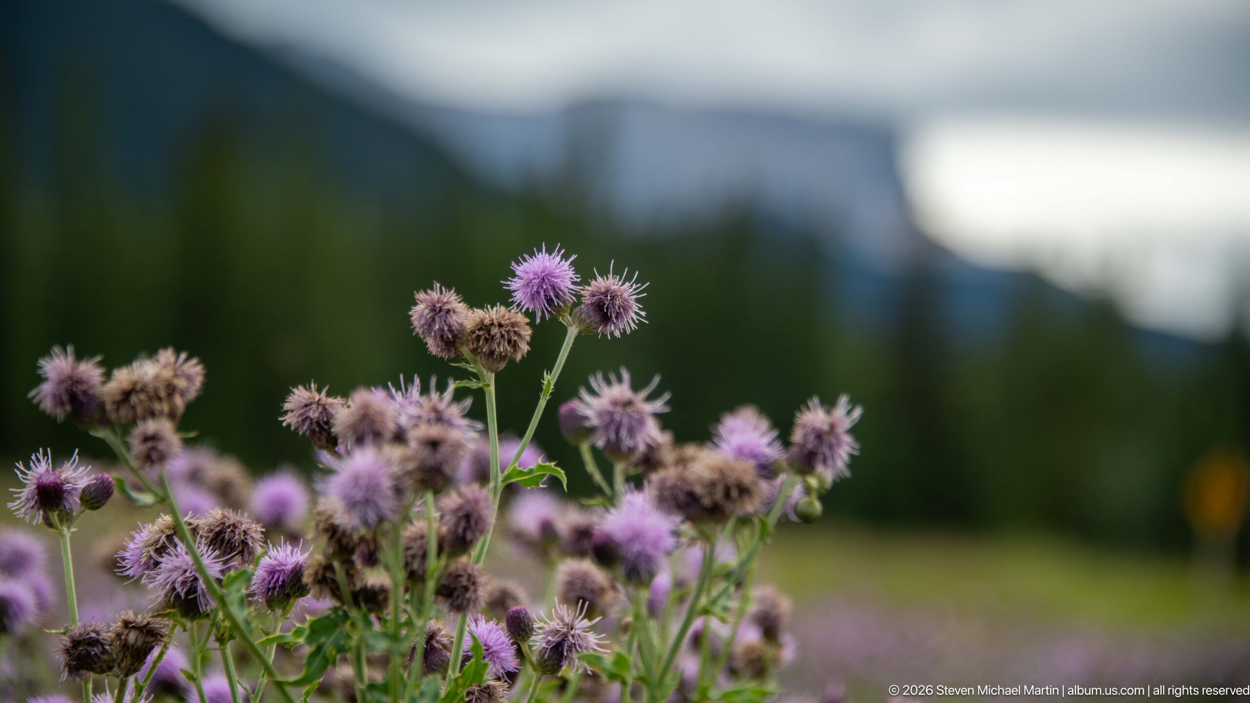
Purple thistle-like flower heads stand in sharp focus against a softly blurred background of conifers and mountains. Several blossoms are fresh while others have browned, allowing the close composition to record differences in flowering stage and texture.
Caption
Purple thistle-like flower heads stand in sharp focus against a softly blurred background of conifers and mountains. Several blossoms are fresh while others have browned, allowing the close composition to record differences in flowering stage and texture.
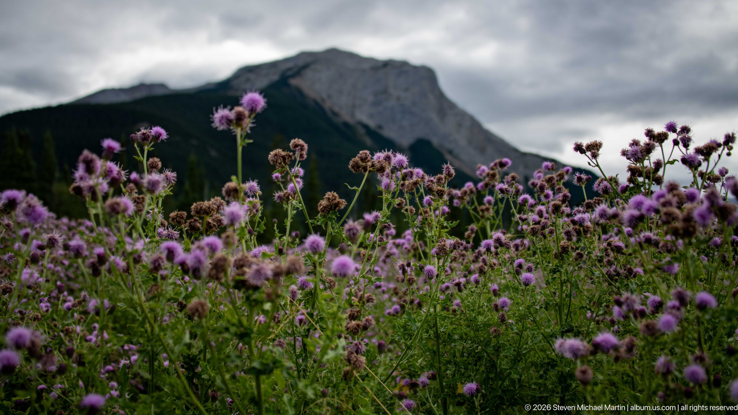
A dense stand of purple thistle-like flowers fills the foreground while a steep gray mountain rises beyond the forest under heavy clouds. The low viewpoint links roadside vegetation to the larger Rocky Mountain setting and gives the flowers unusual prominence against the distant cliff.
Caption
A dense stand of purple thistle-like flowers fills the foreground while a steep gray mountain rises beyond the forest under heavy clouds. The low viewpoint links roadside vegetation to the larger Rocky Mountain setting and gives the flowers unusual prominence against the distant cliff.
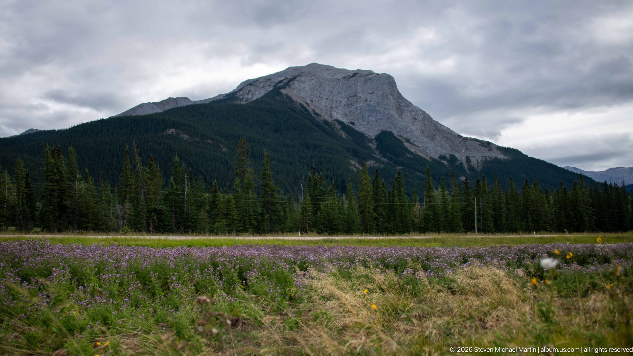
A broad roadside meadow dotted with purple flowers stretches toward dark conifer forest and a large gray mountain. The wider perspective places the flowering vegetation within the mountain corridor, showing the transition from open grassy ground to forested slopes and exposed rock.
Caption
A broad roadside meadow dotted with purple flowers stretches toward dark conifer forest and a large gray mountain. The wider perspective places the flowering vegetation within the mountain corridor, showing the transition from open grassy ground to forested slopes and exposed rock.
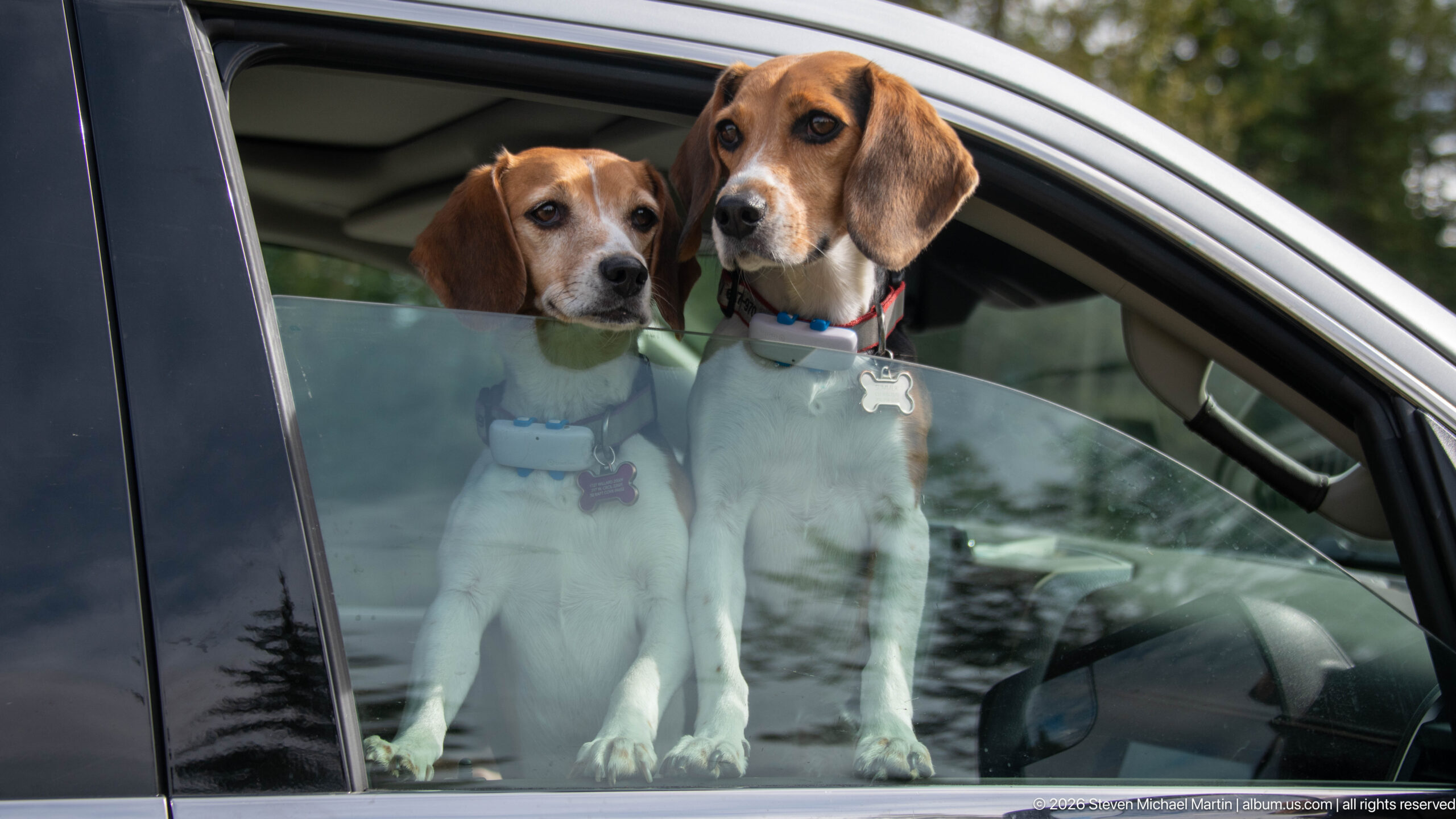
Two beagles stand together inside a vehicle and look through a partially lowered window, their heads close together above the glass. Harnesses and collars are visible, while reflections across the window preserve a subtle trace of the surrounding forested travel setting.
Caption
Two beagles stand together inside a vehicle and look through a partially lowered window, their heads close together above the glass. Harnesses and collars are visible, while reflections across the window preserve a subtle trace of the surrounding forested travel setting.
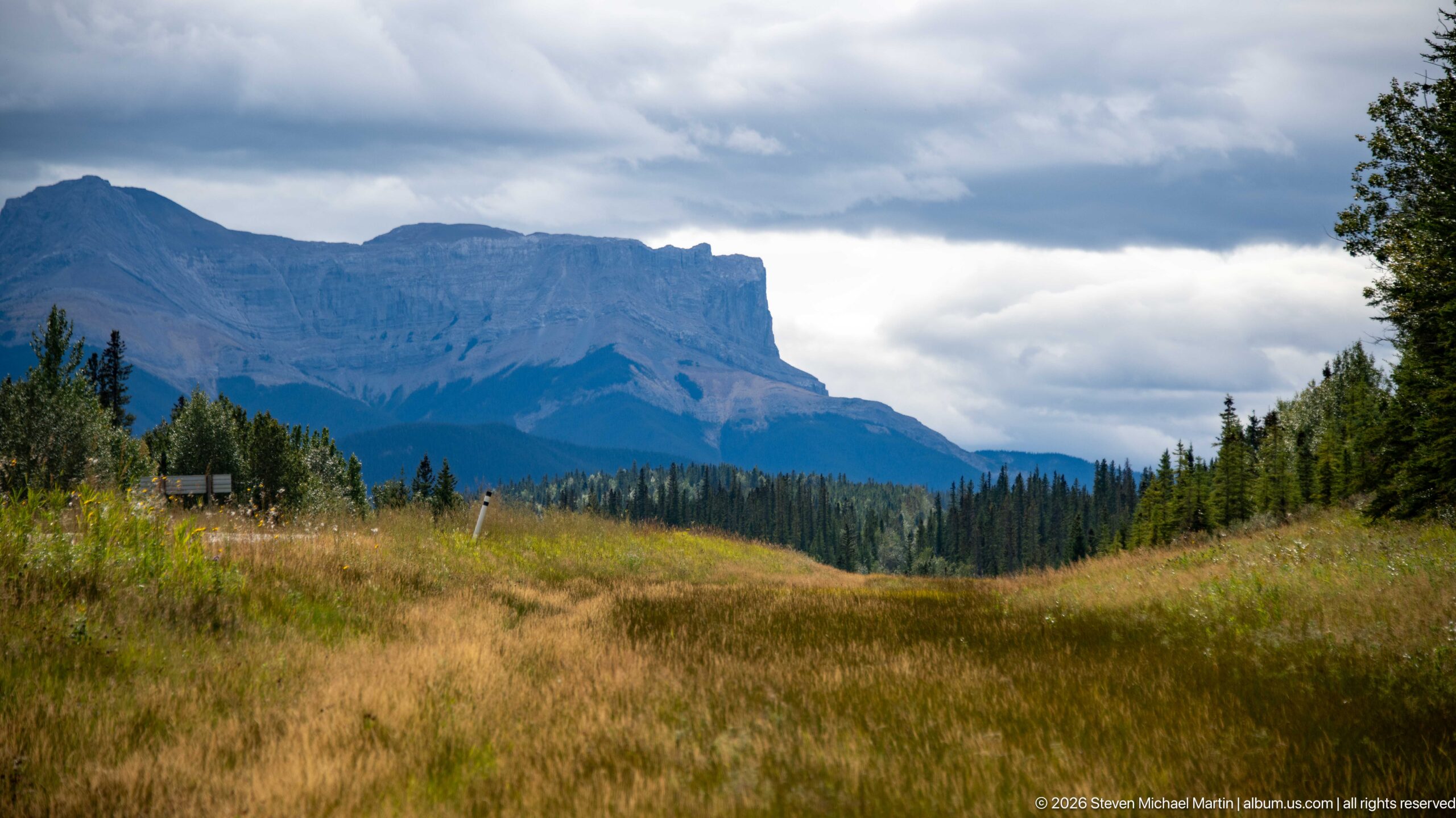
A broad, cliff-edged mountain dominates the horizon beyond golden-green grassland and scattered trees. Its nearly level upper profile and steep exposed face contrast with the softer foreground meadow, creating a clear view of sedimentary relief along the Jasper travel corridor.
Caption
A broad, cliff-edged mountain dominates the horizon beyond golden-green grassland and scattered trees. Its nearly level upper profile and steep exposed face contrast with the softer foreground meadow, creating a clear view of sedimentary relief along the Jasper travel corridor.
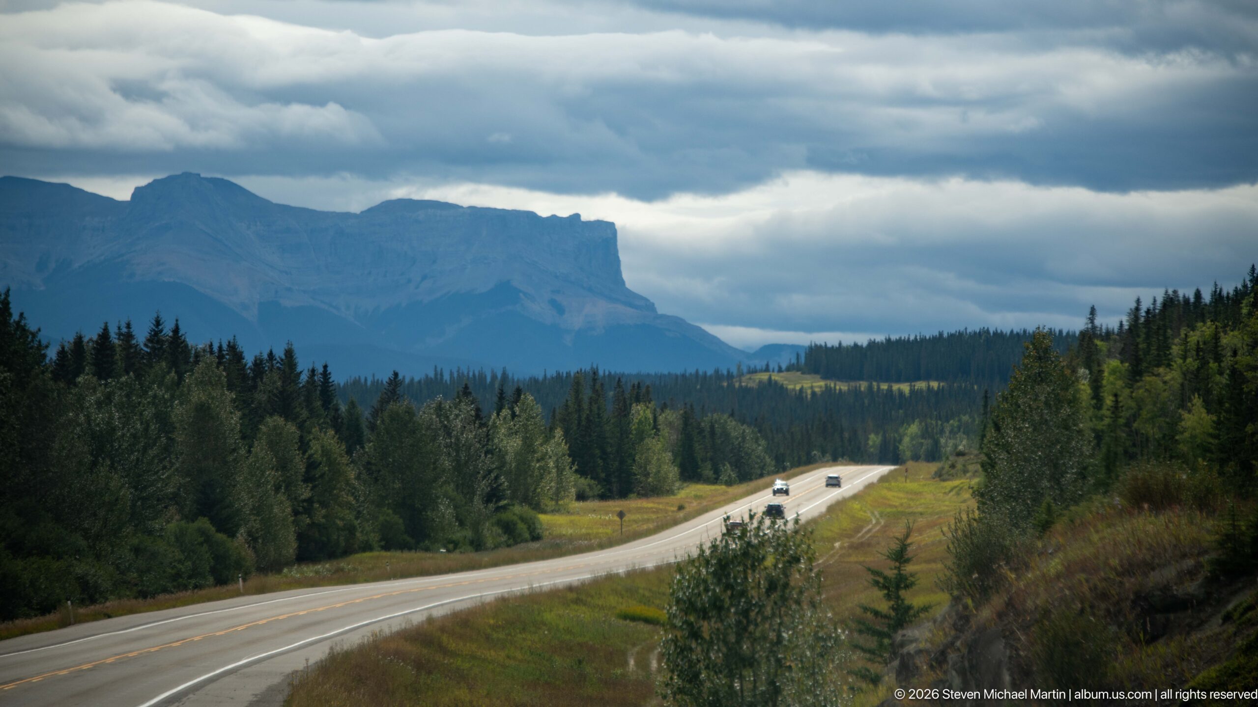
A divided highway sweeps through open grass and forest toward a broad, flat-topped mountain beneath layered storm clouds. Vehicles provide scale while the road leads directly into the distant escarpment, documenting the transportation corridor through the eastern Jasper landscape.
Caption
A divided highway sweeps through open grass and forest toward a broad, flat-topped mountain beneath layered storm clouds. Vehicles provide scale while the road leads directly into the distant escarpment, documenting the transportation corridor through the eastern Jasper landscape.
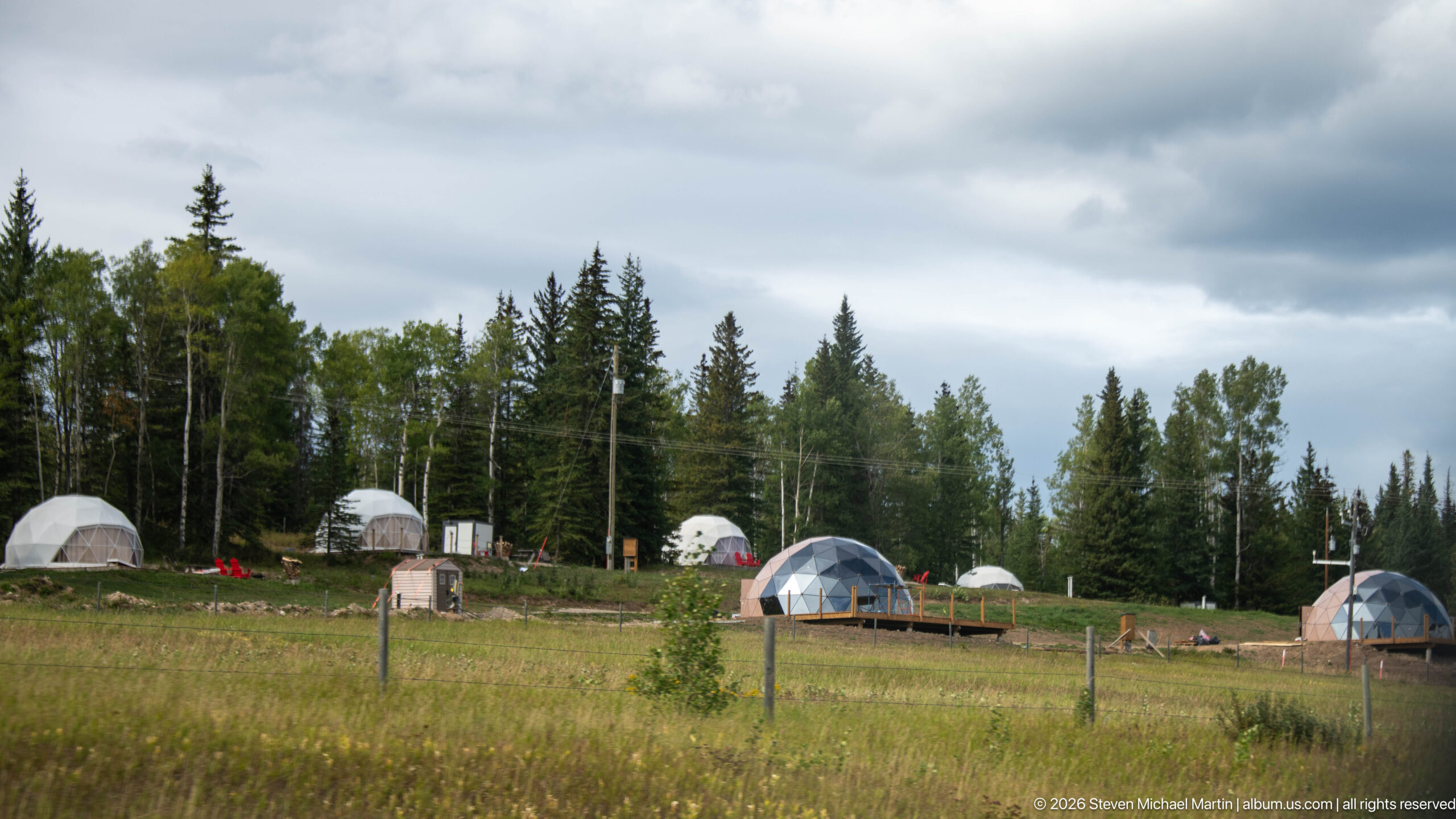
Several white and transparent geodesic domes are spaced across a grassy clearing bordered by mixed forest. Decks, small utility structures, and outdoor furnishings show a developed lodging or camping property, while the repeated dome forms distinguish the site from conventional tent camping.
Caption
Several white and transparent geodesic domes are spaced across a grassy clearing bordered by mixed forest. Decks, small utility structures, and outdoor furnishings show a developed lodging or camping property, while the repeated dome forms distinguish the site from conventional tent camping.
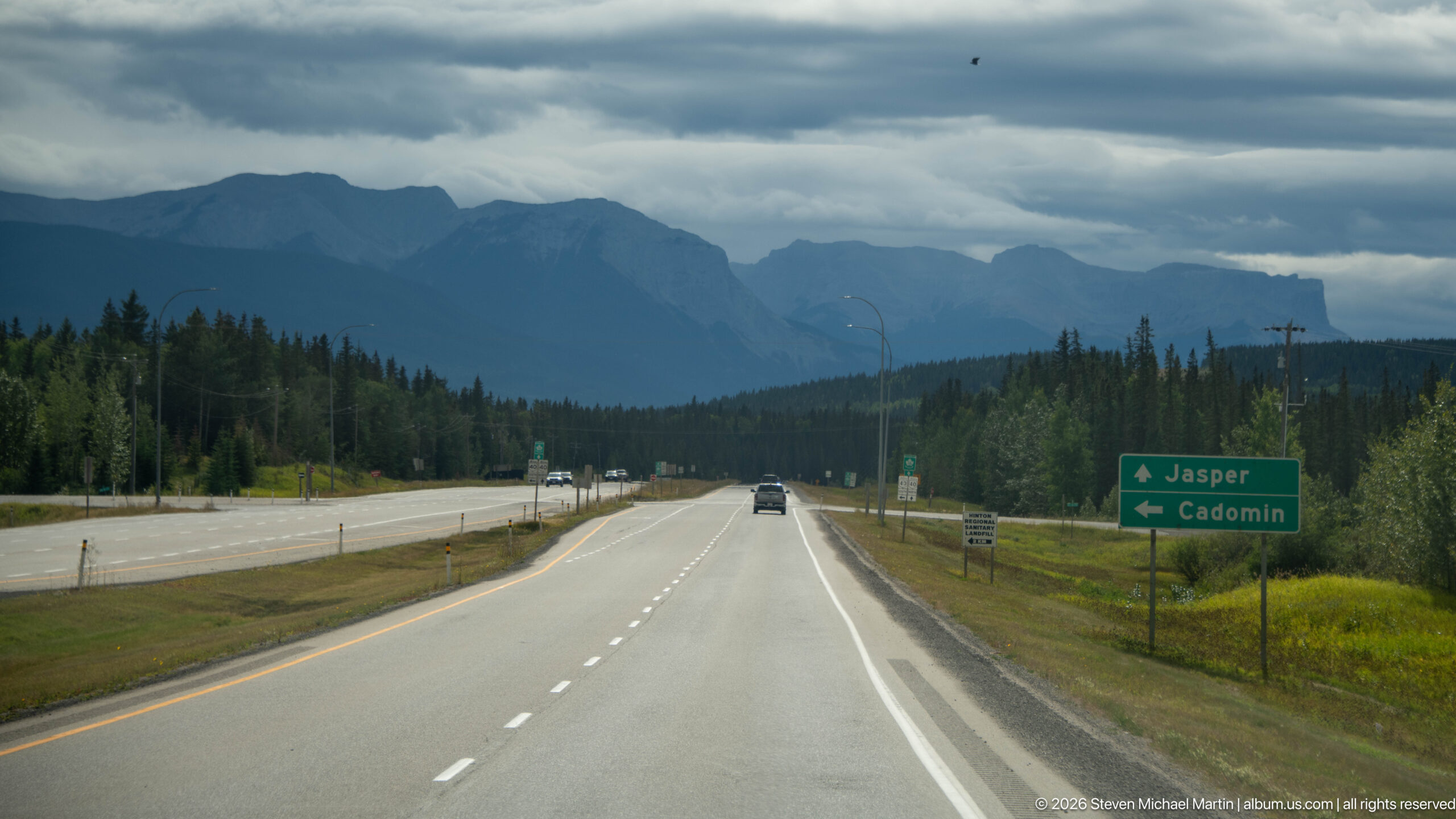
A divided highway runs toward dark mountain ridges beneath heavy cloud, while a green directional sign points ahead to Jasper and left to Cadomin. The sign anchors the road scene geographically and documents the eastern approach toward Jasper through Yellowhead County.
Caption
A divided highway runs toward dark mountain ridges beneath heavy cloud, while a green directional sign points ahead to Jasper and left to Cadomin. The sign anchors the road scene geographically and documents the eastern approach toward Jasper through Yellowhead County.
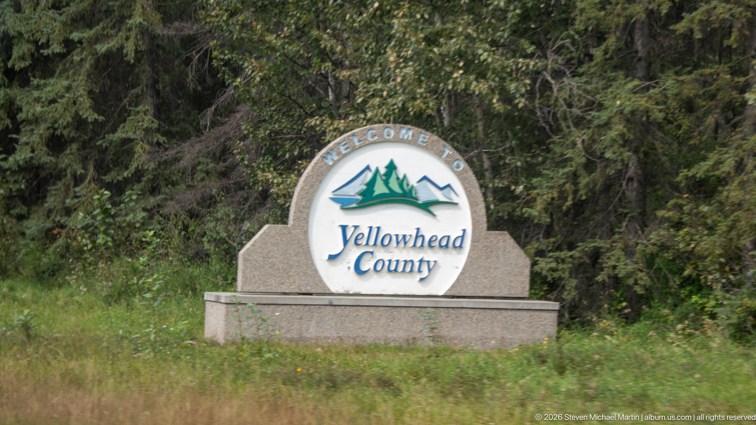
A stone monument beside dense forest carries a circular 'Welcome to Yellowhead County' emblem with stylized mountains and water. The roadside marker identifies the municipal district traversed on the approach toward Jasper.
Caption
A stone monument beside dense forest carries a circular 'Welcome to Yellowhead County' emblem with stylized mountains and water. The roadside marker identifies the municipal district traversed on the approach toward Jasper.
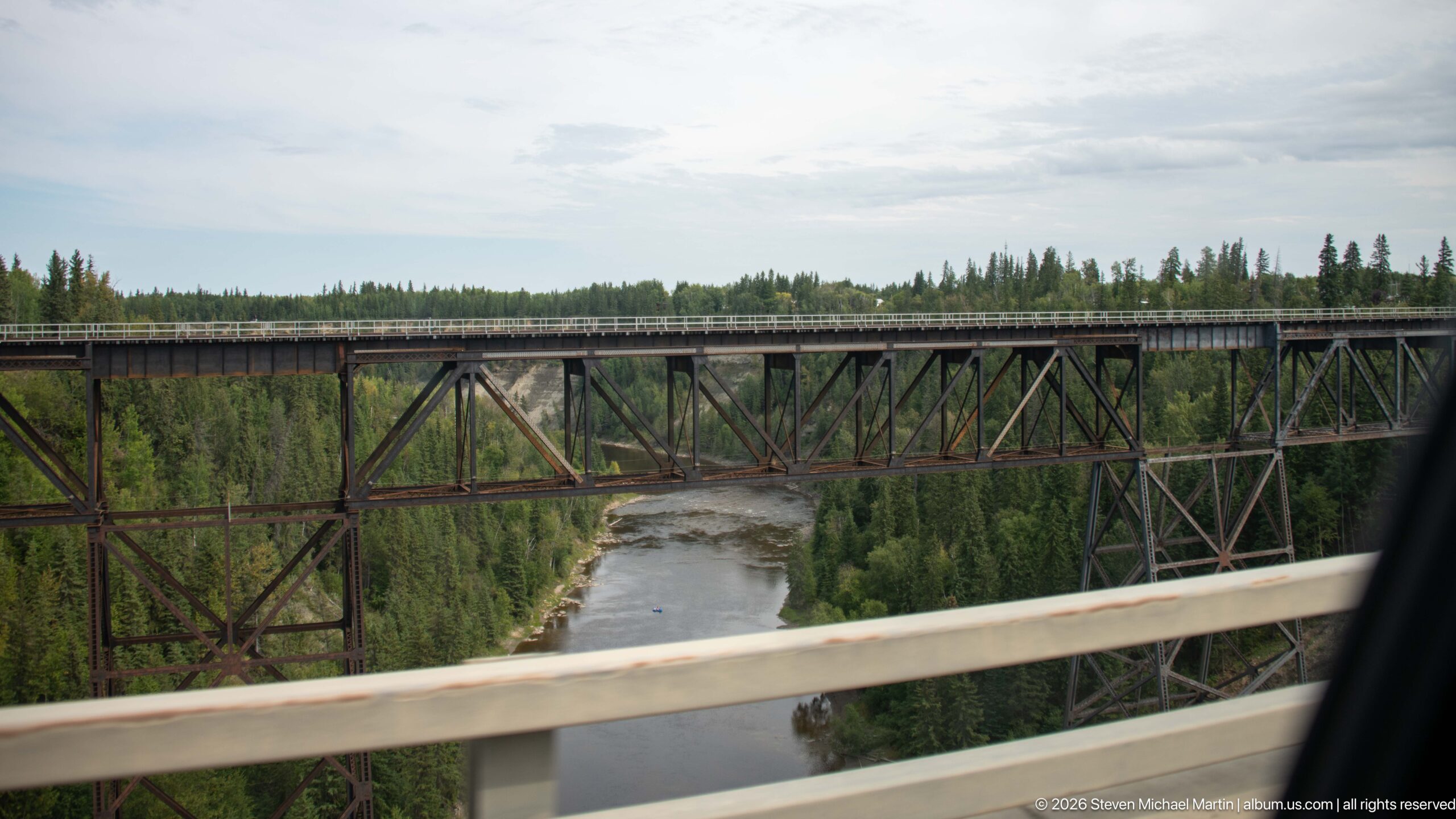
A tall steel trestle crosses a river far below, its repeating triangular bracing extending between wooded valley walls. Seen from an adjacent roadway, the bridge's open lattice structure and considerable height dominate the river corridor.
Caption
A tall steel trestle crosses a river far below, its repeating triangular bracing extending between wooded valley walls. Seen from an adjacent roadway, the bridge's open lattice structure and considerable height dominate the river corridor.
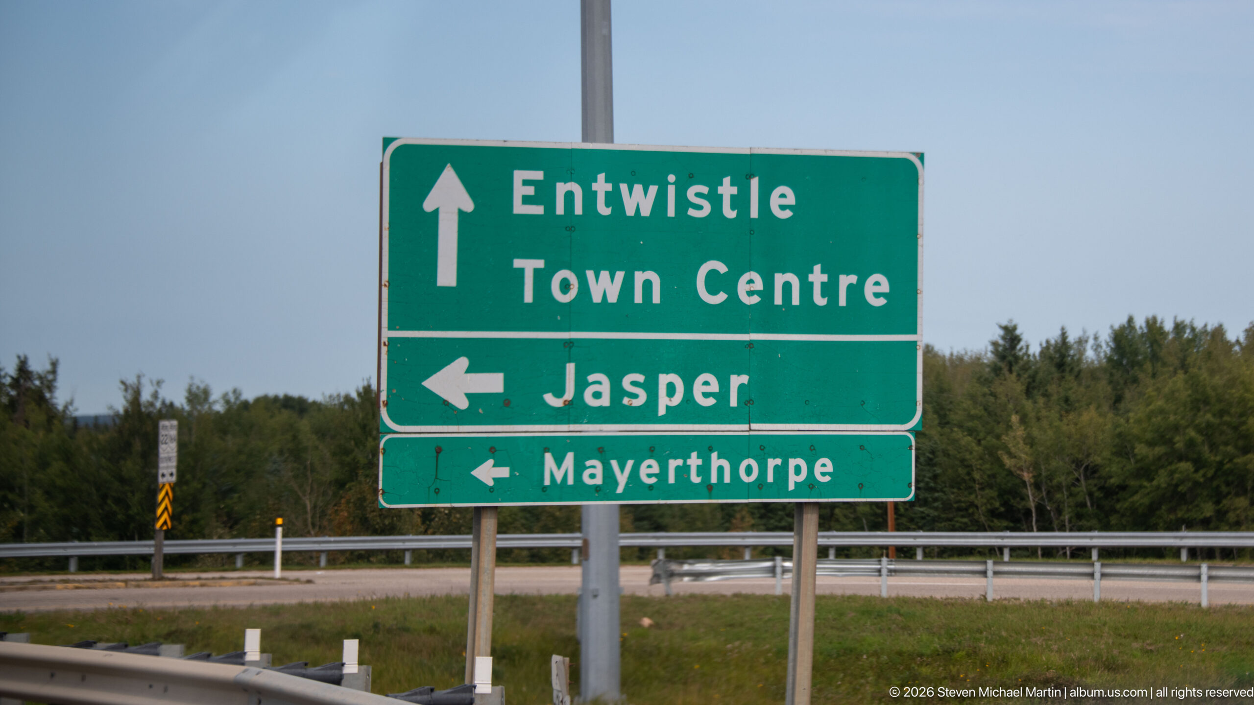
A green highway sign directs traffic straight toward Entwistle Town Centre and left toward Jasper and Mayerthorpe. The large bilingual-style route information provides a precise documentary record of the road junction used on the westward journey.
Caption
A green highway sign directs traffic straight toward Entwistle Town Centre and left toward Jasper and Mayerthorpe. The large bilingual-style route information provides a precise documentary record of the road junction used on the westward journey.
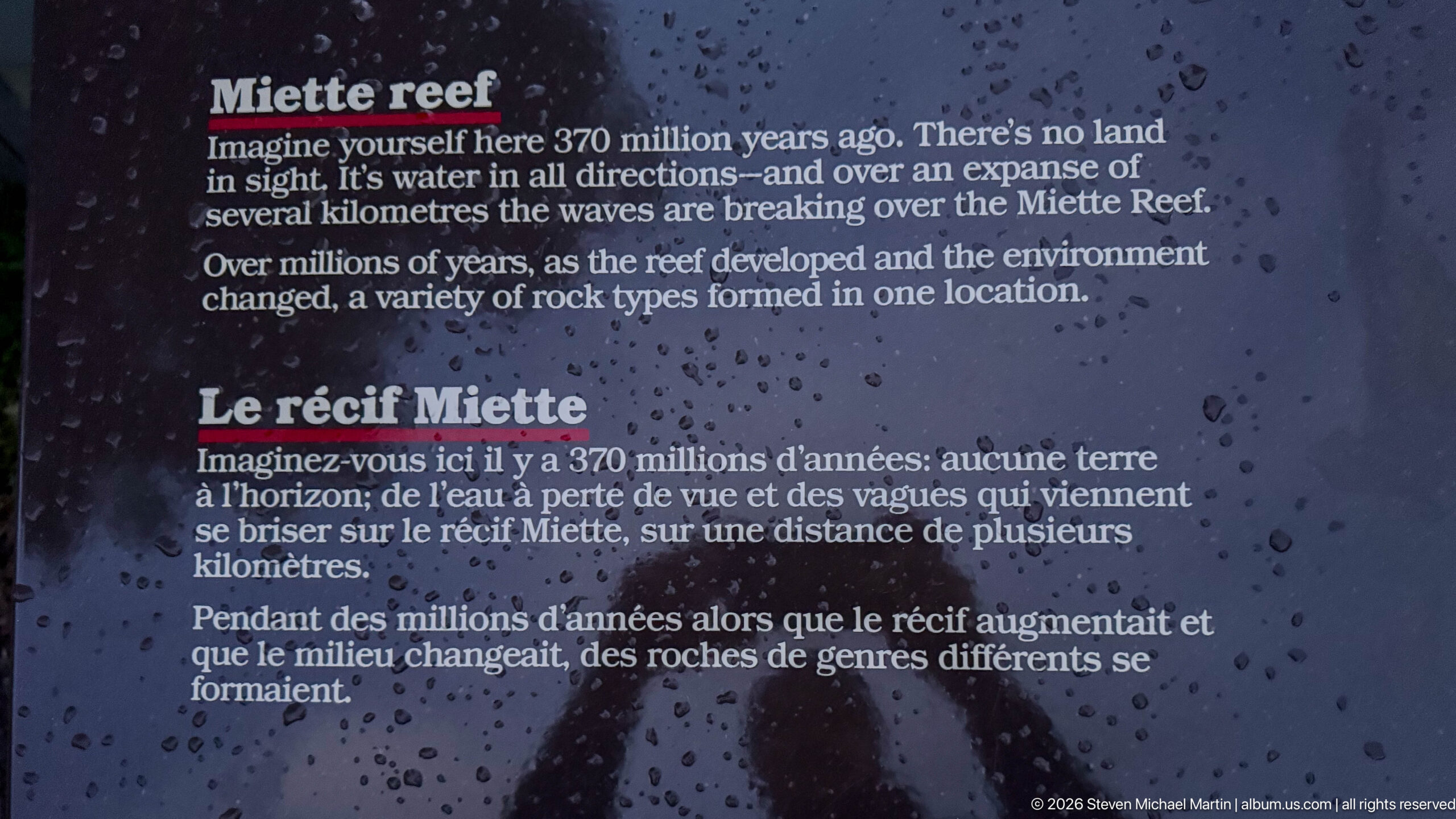
A rain-speckled interpretive panel titled 'Miette Reef / Le récif Miette' explains that the reef formed roughly 370 million years ago beneath an ancient sea and changed as environmental conditions shifted. The display provides geological context for the layered and deformed rocks visible around Miette Hot Springs.
Caption
A rain-speckled interpretive panel titled 'Miette Reef / Le récif Miette' explains that the reef formed roughly 370 million years ago beneath an ancient sea and changed as environmental conditions shifted. The display provides geological context for the layered and deformed rocks visible around Miette Hot Springs.
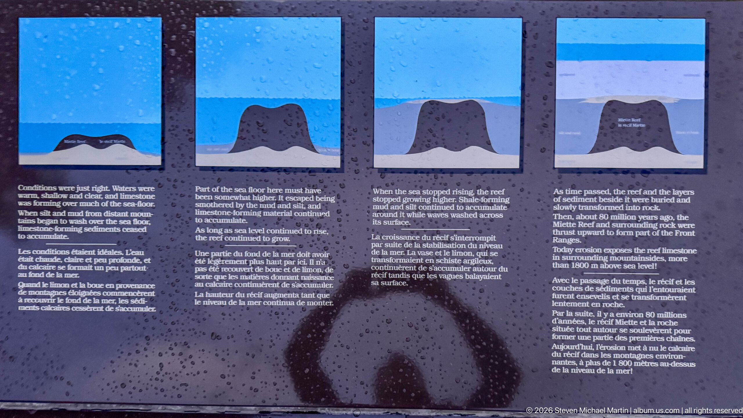
Four sequential diagrams on an outdoor interpretive panel illustrate stages in the formation, burial, deformation, and later exposure of the Miette Reef. Accompanying English and French text places the local rocks within a long geological history of changing seas, sedimentation, and mountain building.
Caption
Four sequential diagrams on an outdoor interpretive panel illustrate stages in the formation, burial, deformation, and later exposure of the Miette Reef. Accompanying English and French text places the local rocks within a long geological history of changing seas, sedimentation, and mountain building.
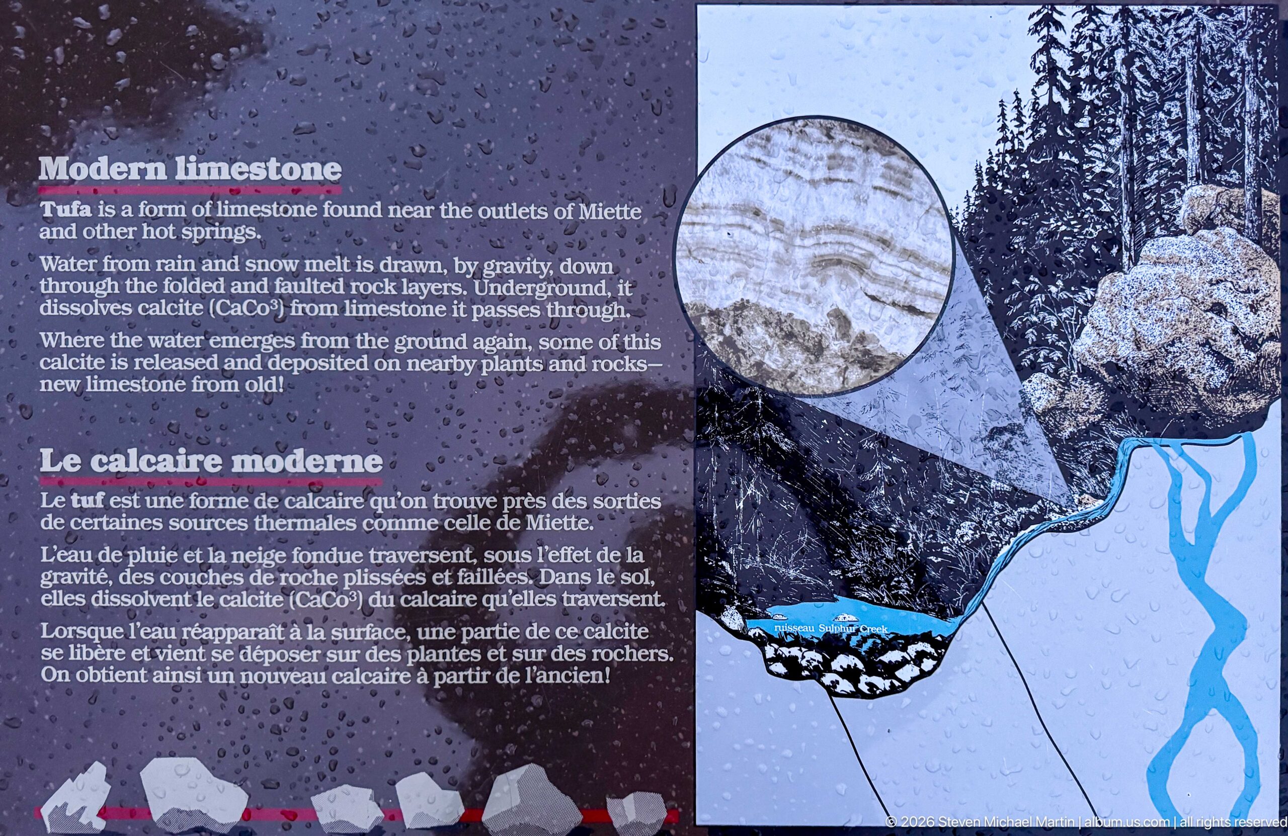
A bilingual panel titled 'Modern limestone / Le calcaire moderne' describes mineral deposition near the outlets of Miette and other hot springs. An illustration links groundwater movement to pale mineral crusts, connecting the visible spring environment with ongoing limestone formation.
Caption
A bilingual panel titled 'Modern limestone / Le calcaire moderne' describes mineral deposition near the outlets of Miette and other hot springs. An illustration links groundwater movement to pale mineral crusts, connecting the visible spring environment with ongoing limestone formation.
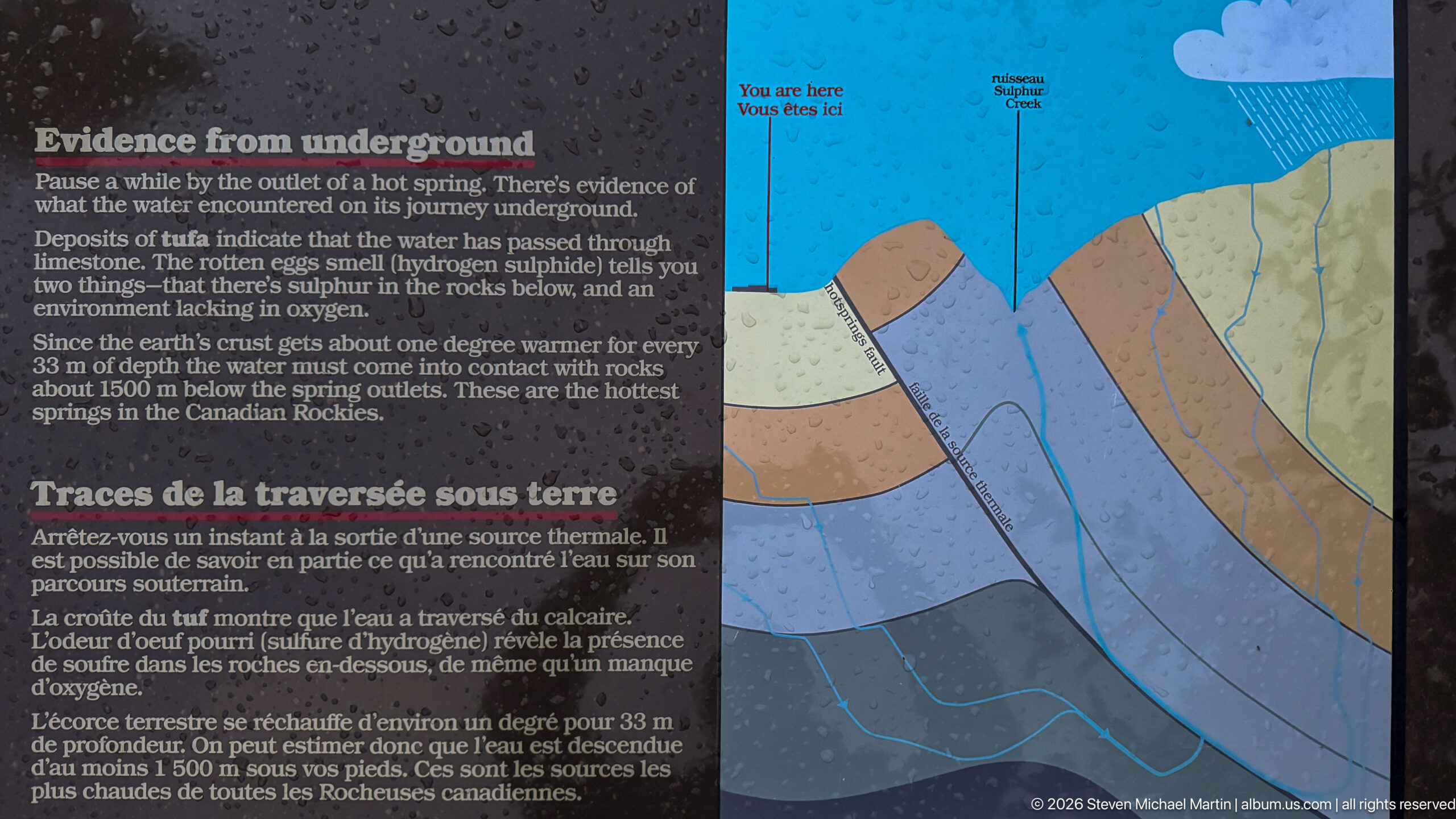
An interpretive display titled 'Traces of the traverse underground' pairs text with a colored geological cross-section showing water descending through fractured rock and returning toward the surface. The panel explains the deep circulation that heats Miette's groundwater before it emerges at the hot springs.
Caption
An interpretive display titled 'Traces of the traverse underground' pairs text with a colored geological cross-section showing water descending through fractured rock and returning toward the surface. The panel explains the deep circulation that heats Miette's groundwater before it emerges at the hot springs.
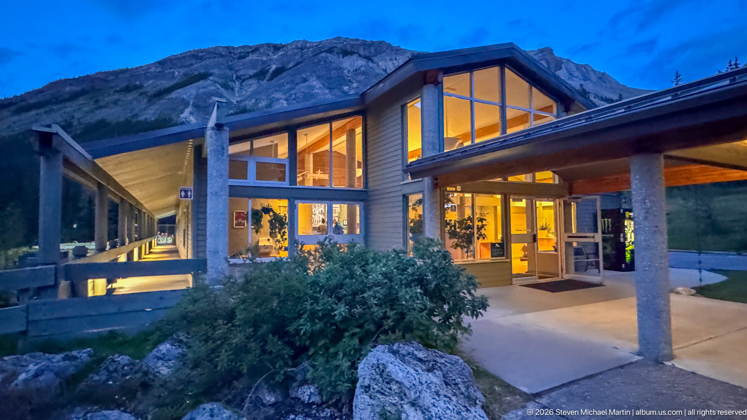
The Miette Hot Springs entrance is viewed more directly beneath its broad peaked glazing, with warm lobby light spilling onto the covered walkway. A large shrub and foreground boulder soften the concrete structure while the gray mountain face rises immediately beyond the roofline.
Caption
The Miette Hot Springs entrance is viewed more directly beneath its broad peaked glazing, with warm lobby light spilling onto the covered walkway. A large shrub and foreground boulder soften the concrete structure while the gray mountain face rises immediately beyond the roofline.
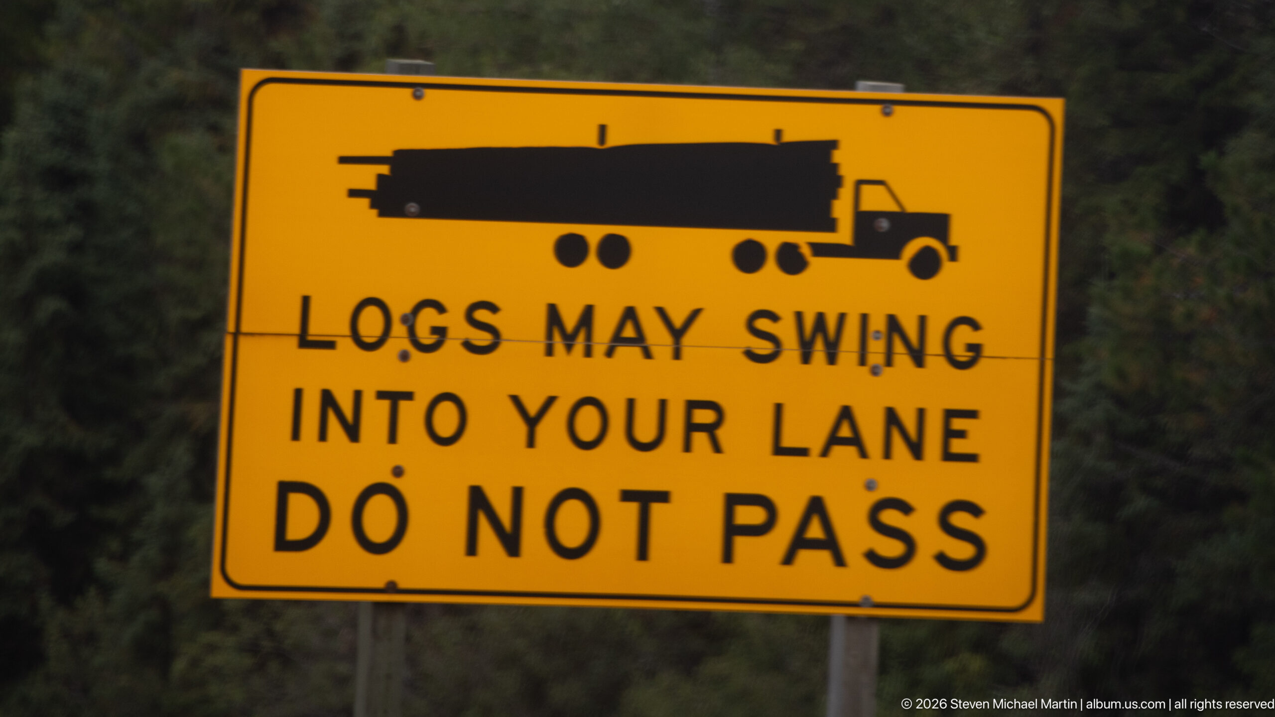
A bright yellow sign warns drivers that logs on a turning truck may swing into the adjacent lane and instructs them not to pass. The black truck silhouette and oversized lettering make the hazard immediately legible against the blurred forest background.
Caption
A bright yellow sign warns drivers that logs on a turning truck may swing into the adjacent lane and instructs them not to pass. The black truck silhouette and oversized lettering make the hazard immediately legible against the blurred forest background.
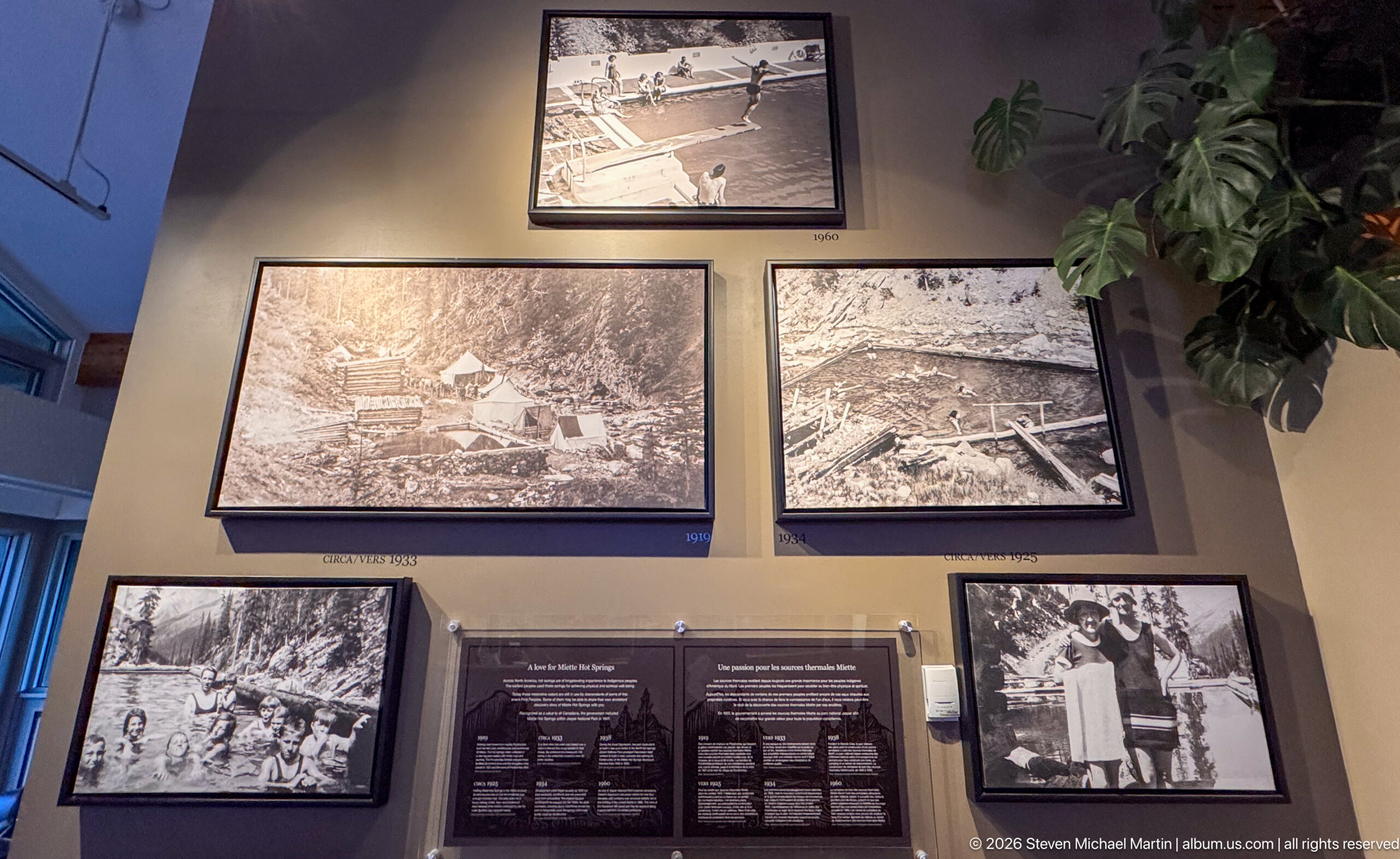
A cluster of framed black-and-white photographs presents earlier buildings, pools, visitors, and construction in the Miette Hot Springs area. The arrangement functions as an on-site historical display, contrasting the modern facility with earlier phases of recreational development.
Caption
A cluster of framed black-and-white photographs presents earlier buildings, pools, visitors, and construction in the Miette Hot Springs area. The arrangement functions as an on-site historical display, contrasting the modern facility with earlier phases of recreational development.
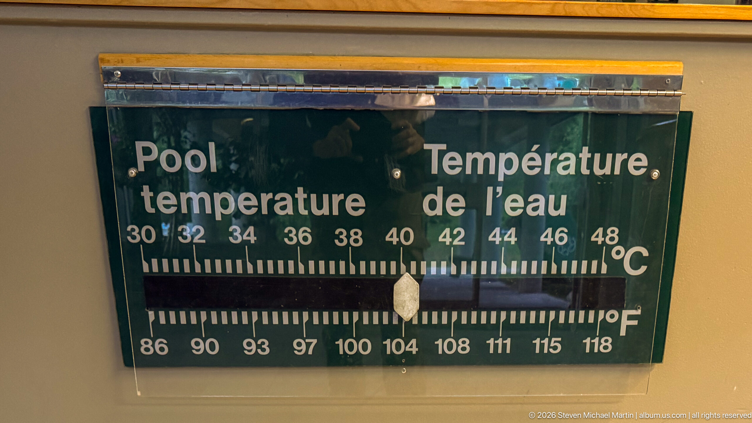
A wall-mounted bilingual gauge marked 'Pool temperature / Température de l’eau' displays Celsius and Fahrenheit scales, with the pointer near 40°C and approximately 104°F. The simple analog display provides a direct operational detail from the bathing facility.
Caption
A wall-mounted bilingual gauge marked 'Pool temperature / Température de l’eau' displays Celsius and Fahrenheit scales, with the pointer near 40°C and approximately 104°F. The simple analog display provides a direct operational detail from the bathing facility.
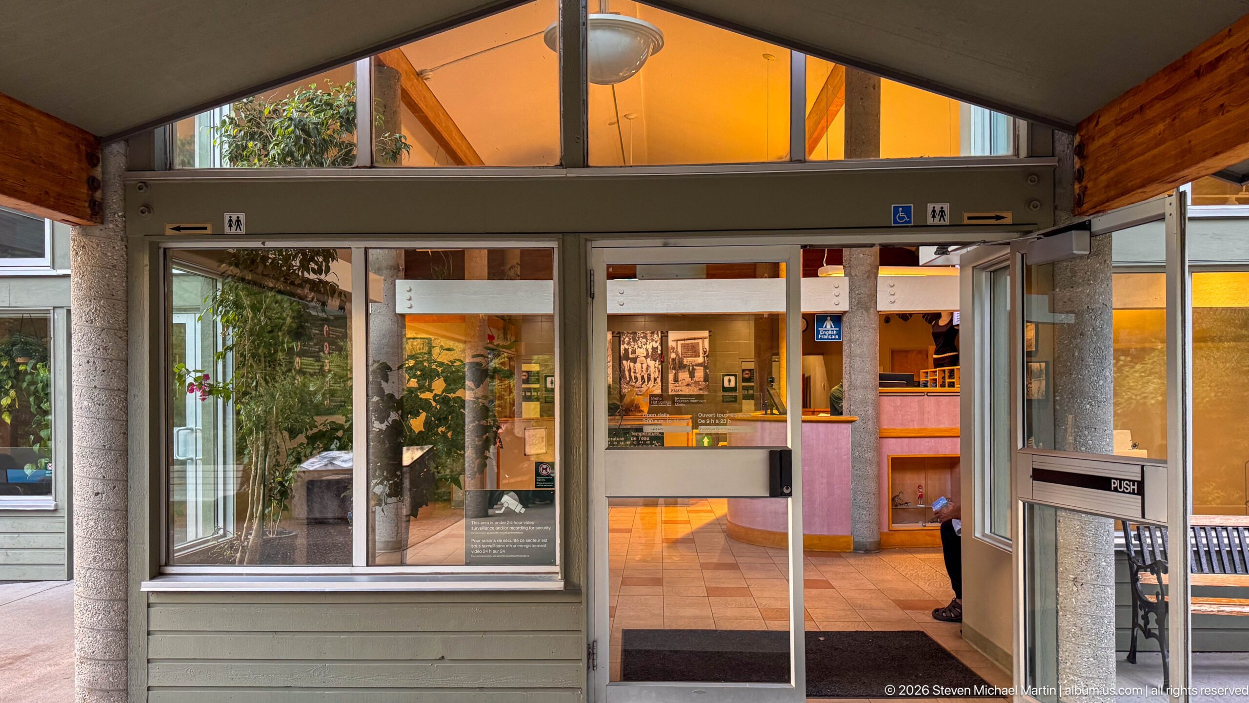
Glass sliding doors open into the warmly lit reception area at Miette Hot Springs, with accessibility symbols, a counter, displays, and wood-paneled architectural details visible beyond. The symmetrical view records the transition from the covered exterior walkway into the visitor facility.
Caption
Glass sliding doors open into the warmly lit reception area at Miette Hot Springs, with accessibility symbols, a counter, displays, and wood-paneled architectural details visible beyond. The symmetrical view records the transition from the covered exterior walkway into the visitor facility.
Large raised magenta letters spell 'MIETTE HOT SPRINGS' across a weathered horizontal board beneath the building canopy. The close crop isolates the attraction's English name as a strong graphic identifier of the bathing complex.
Caption
Large raised magenta letters spell 'MIETTE HOT SPRINGS' across a weathered horizontal board beneath the building canopy. The close crop isolates the attraction's English name as a strong graphic identifier of the bathing complex.
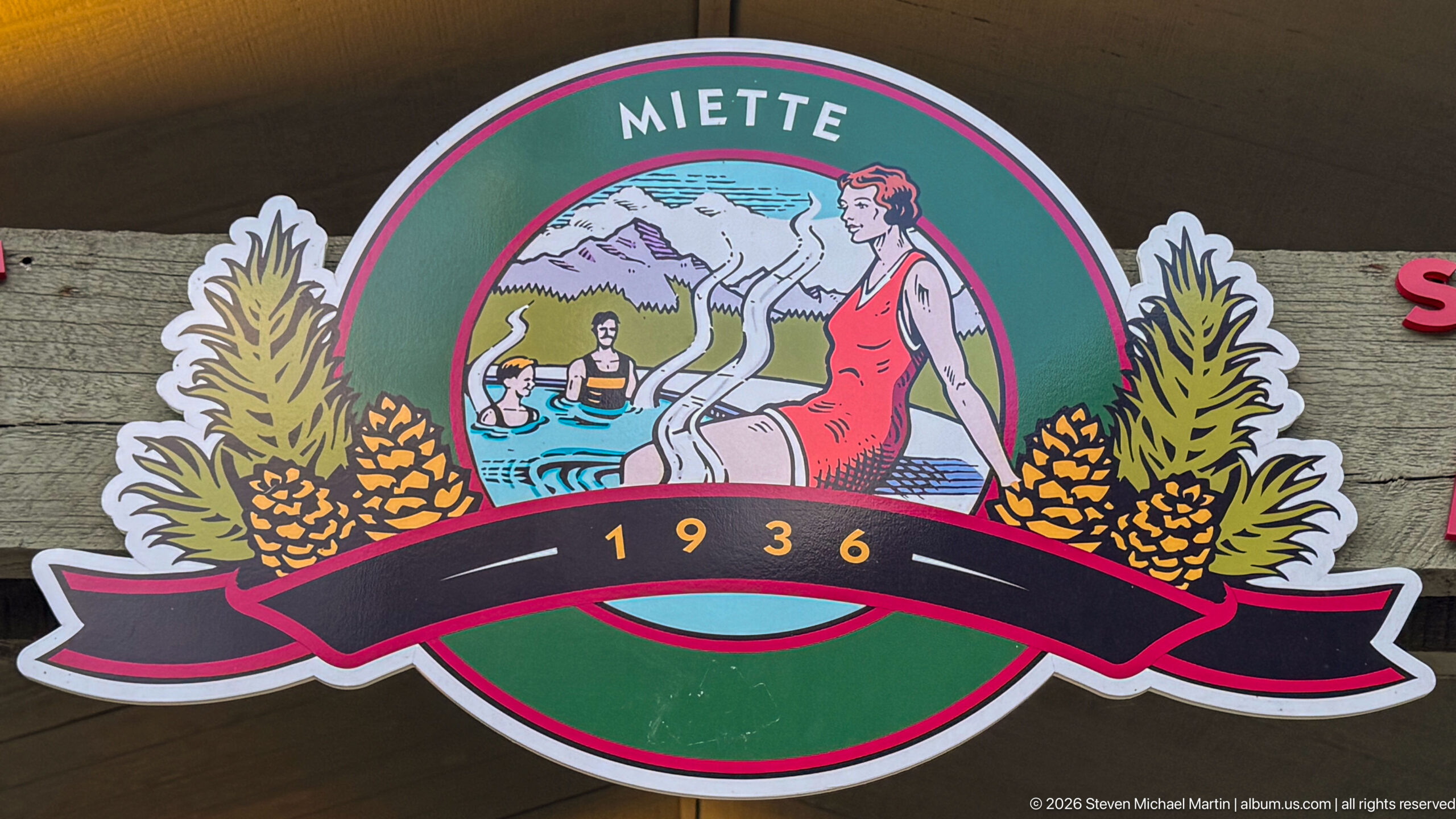
A colorful circular Miette emblem centers on a stylized bathing scene framed by mountain imagery, foliage, and pinecones, with '1936' prominently displayed on a ribbon below. The retro graphic links the present facility visually to its twentieth-century recreational identity.
Caption
A colorful circular Miette emblem centers on a stylized bathing scene framed by mountain imagery, foliage, and pinecones, with '1936' prominently displayed on a ribbon below. The retro graphic links the present facility visually to its twentieth-century recreational identity.
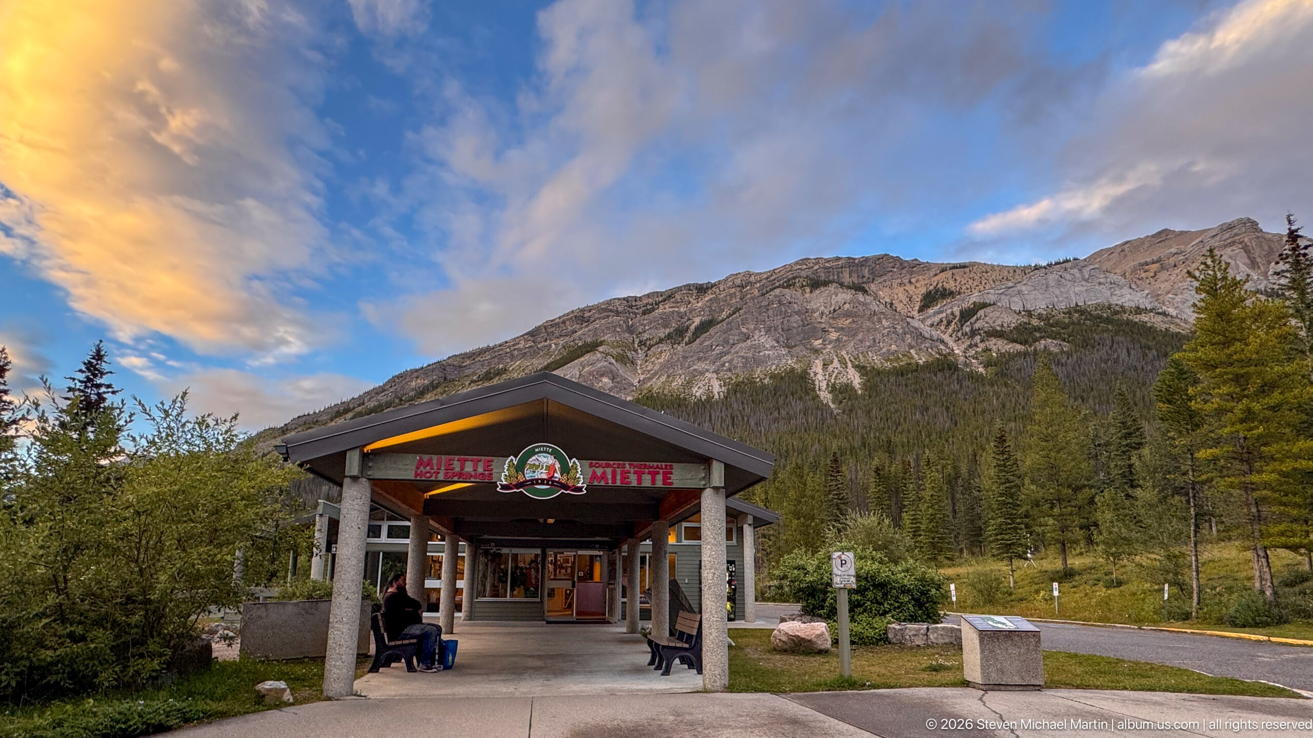
The covered entrance pavilion of Miette Hot Springs stands beneath a steep gray mountain wall, with the Miette emblem and bilingual facility signage centered under the roof peak. Warm evening light touches the clouds and upper rock, giving the entrance a strong relationship to its mountain setting.
Caption
The covered entrance pavilion of Miette Hot Springs stands beneath a steep gray mountain wall, with the Miette emblem and bilingual facility signage centered under the roof peak. Warm evening light touches the clouds and upper rock, giving the entrance a strong relationship to its mountain setting.
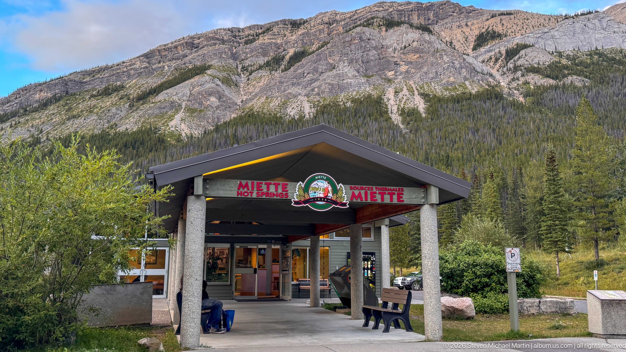
Viewed head-on, the Miette Hot Springs canopy frames the entry doors beneath English and French signage and the central historic-style emblem. Behind it, a broad exposed mountain slope rises above dense forest, emphasizing the developed facility's placement within Jasper's rugged northeastern landscape.
Caption
Viewed head-on, the Miette Hot Springs canopy frames the entry doors beneath English and French signage and the central historic-style emblem. Behind it, a broad exposed mountain slope rises above dense forest, emphasizing the developed facility's placement within Jasper's rugged northeastern landscape.
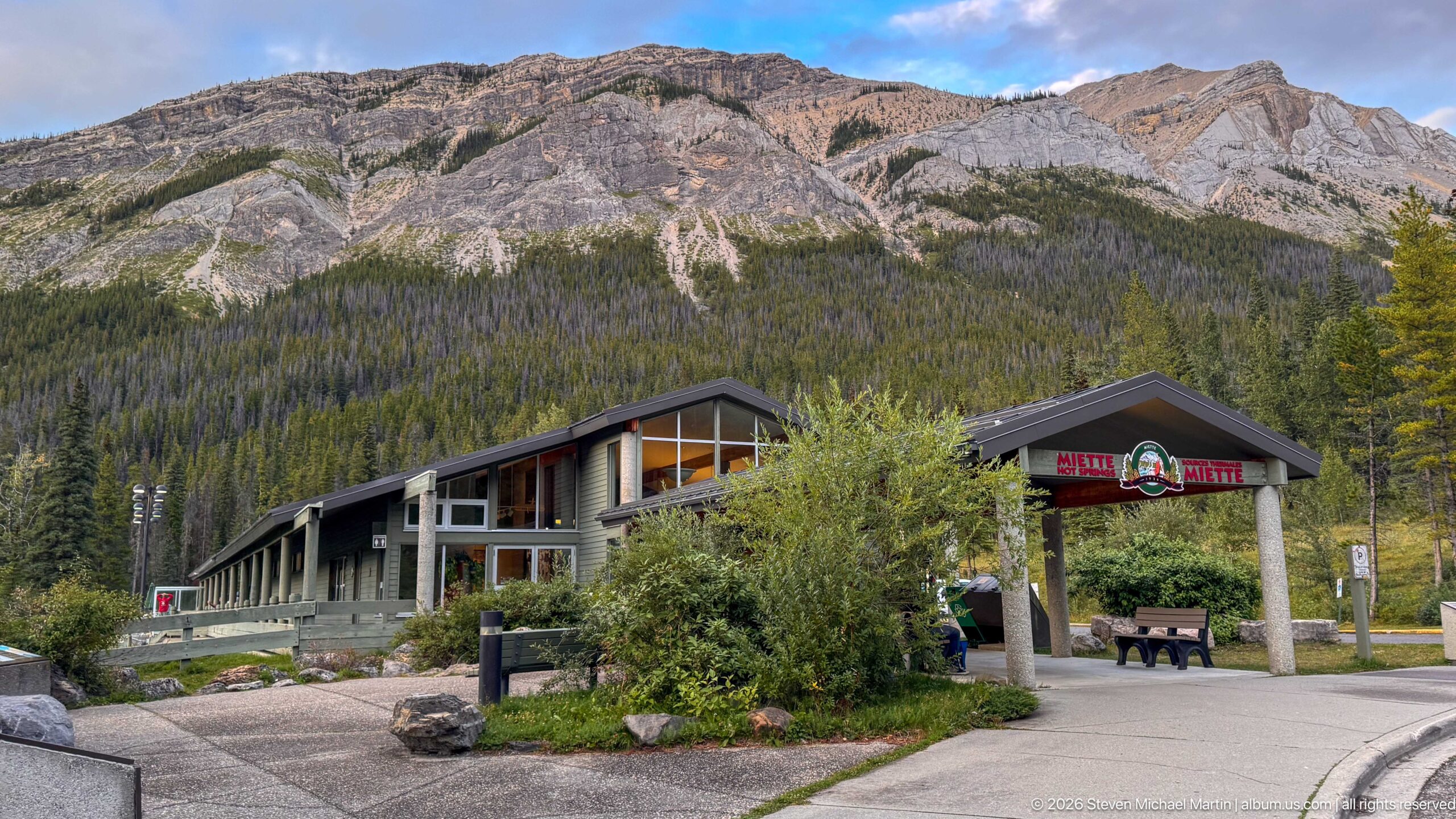
A wider view places the long Miette Hot Springs building, entrance pavilion, landscaping, and pedestrian paths at the base of an immense exposed mountain wall. The broader composition shows how the developed recreational complex occupies a relatively small footprint within the surrounding forested Rocky Mountain valley.
Caption
A wider view places the long Miette Hot Springs building, entrance pavilion, landscaping, and pedestrian paths at the base of an immense exposed mountain wall. The broader composition shows how the developed recreational complex occupies a relatively small footprint within the surrounding forested Rocky Mountain valley.
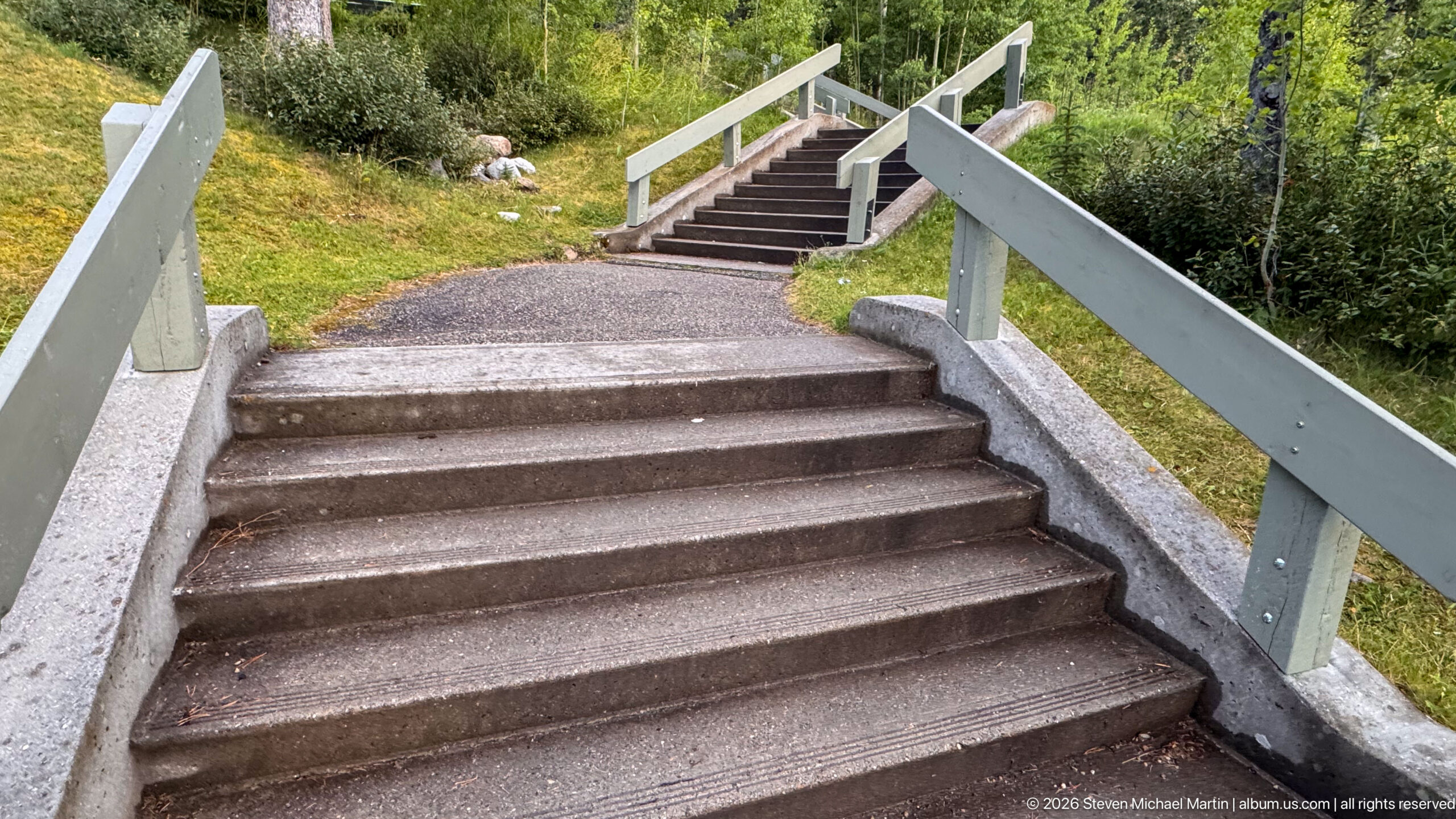
A long run of concrete steps with pale wooden railings climbs through the landscaped grounds near Miette Hot Springs. Gravel paths, grass, boulders, and dense shrubs surround the staircase, documenting pedestrian circulation across the sloping mountain site.
Caption
A long run of concrete steps with pale wooden railings climbs through the landscaped grounds near Miette Hot Springs. Gravel paths, grass, boulders, and dense shrubs surround the staircase, documenting pedestrian circulation across the sloping mountain site.
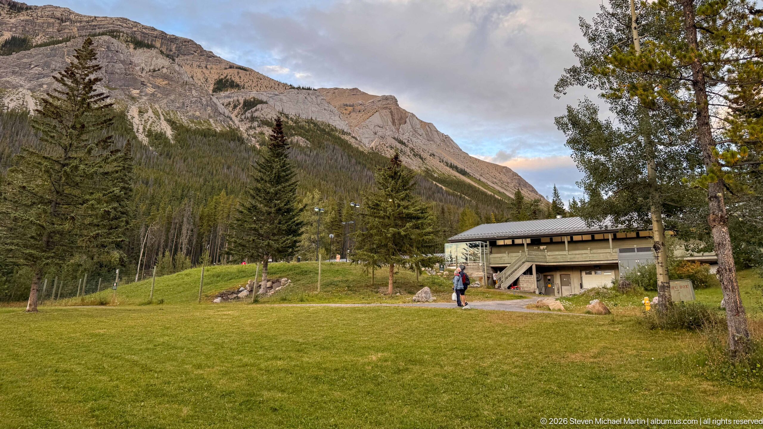
A broad green lawn leads toward the low Miette Hot Springs building, partly screened by mature trees and backed by steep forested and rocky slopes. A few visitors provide scale within the open grounds, emphasizing the facility's secluded mountain-valley setting.
Caption
A broad green lawn leads toward the low Miette Hot Springs building, partly screened by mature trees and backed by steep forested and rocky slopes. A few visitors provide scale within the open grounds, emphasizing the facility's secluded mountain-valley setting.
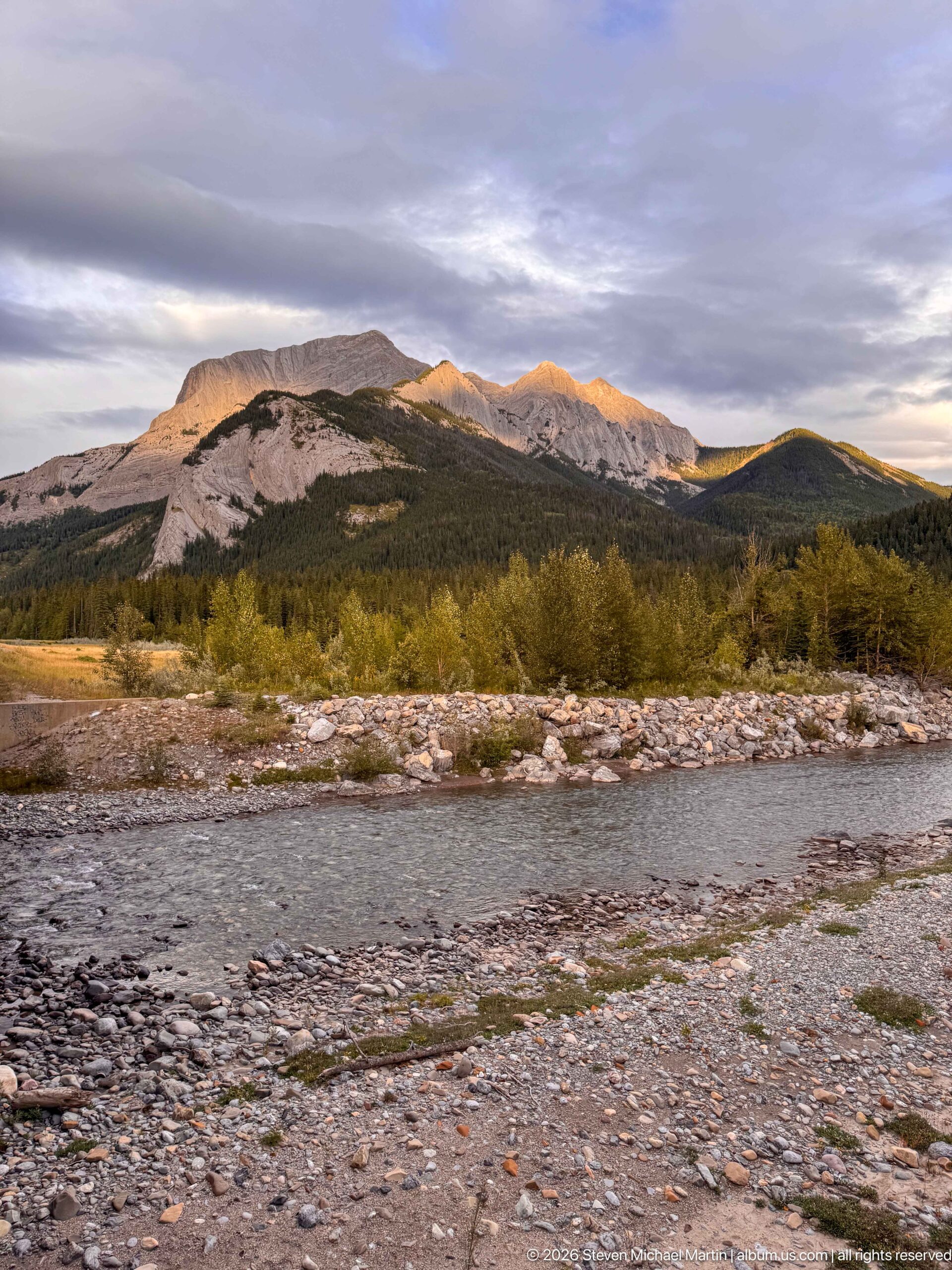
A shallow river crosses a broad gravelly channel in the foreground, with willow-like shrubs and forest leading toward long, sunlit mountain ridges. The exposed bars and multiple low channels illustrate active sediment transport within the Miette and Fiddle River corridor.
Caption
A shallow river crosses a broad gravelly channel in the foreground, with willow-like shrubs and forest leading toward long, sunlit mountain ridges. The exposed bars and multiple low channels illustrate active sediment transport within the Miette and Fiddle River corridor.
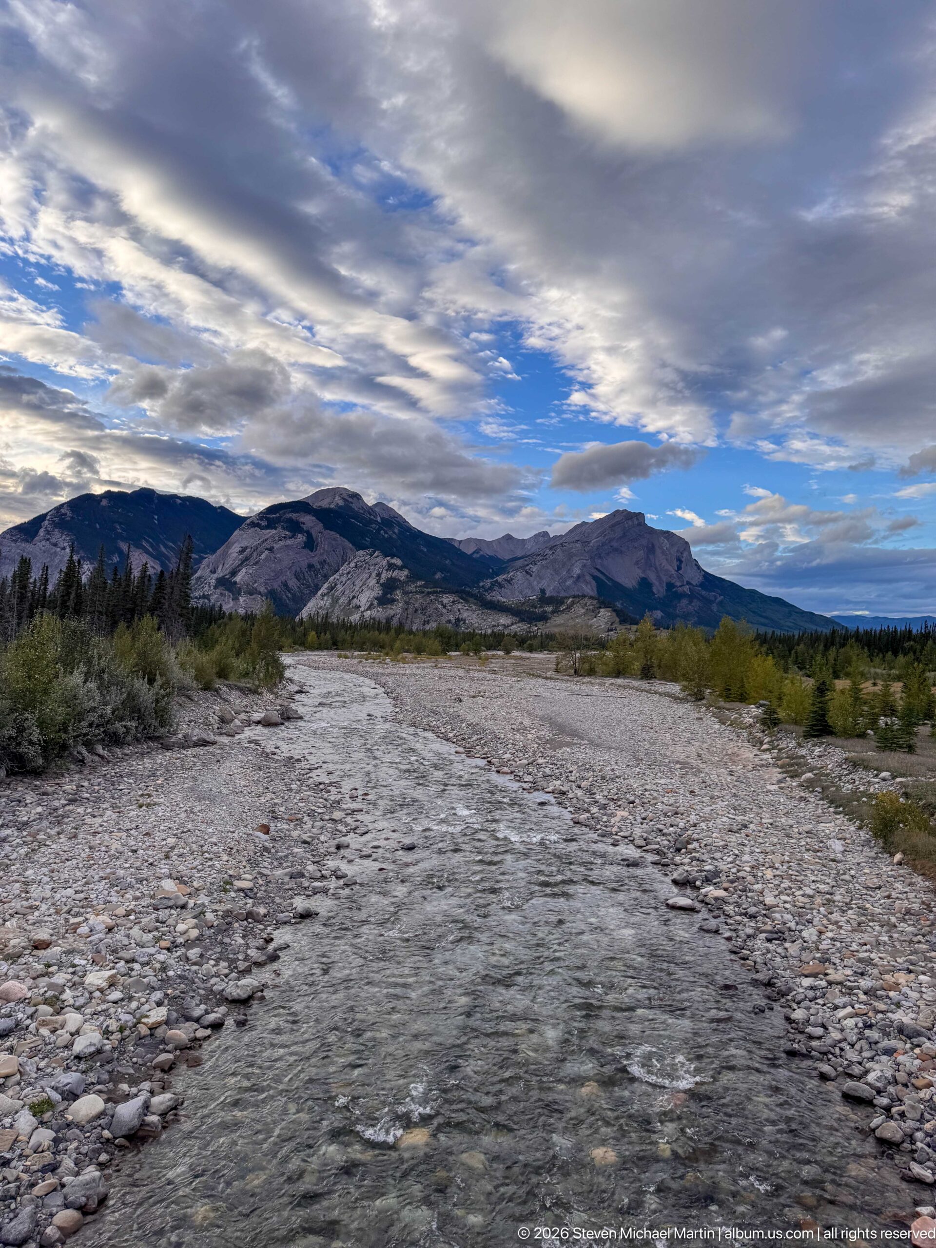
A shallow mountain river flows through a broad bed of pale cobbles and gravel beneath a dramatic layered sky. Low shrubs line the channel while rounded and cliffed mountain ridges stretch across the horizon, illustrating active sediment transport through the valley floor.
Caption
A shallow mountain river flows through a broad bed of pale cobbles and gravel beneath a dramatic layered sky. Low shrubs line the channel while rounded and cliffed mountain ridges stretch across the horizon, illustrating active sediment transport through the valley floor.
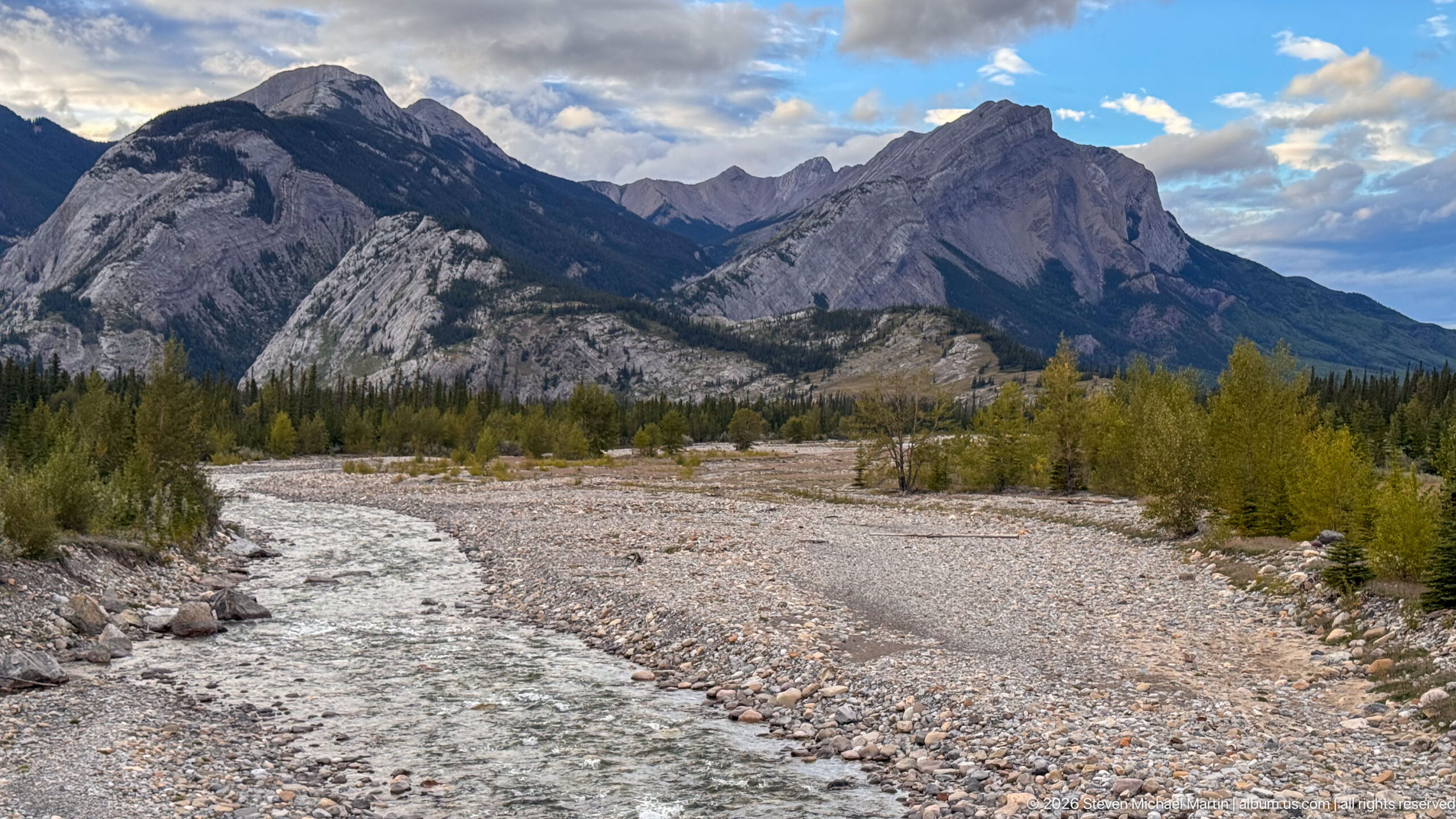
A narrow, fast-moving channel curves through a wide bed of pale cobbles and gravel toward rugged gray mountains. Sparse shrubs occupy the floodplain while steep forested slopes and exposed rock frame the drainage, showing the continuing work of water and sediment in the mountain valley.
Caption
A narrow, fast-moving channel curves through a wide bed of pale cobbles and gravel toward rugged gray mountains. Sparse shrubs occupy the floodplain while steep forested slopes and exposed rock frame the drainage, showing the continuing work of water and sediment in the mountain valley.
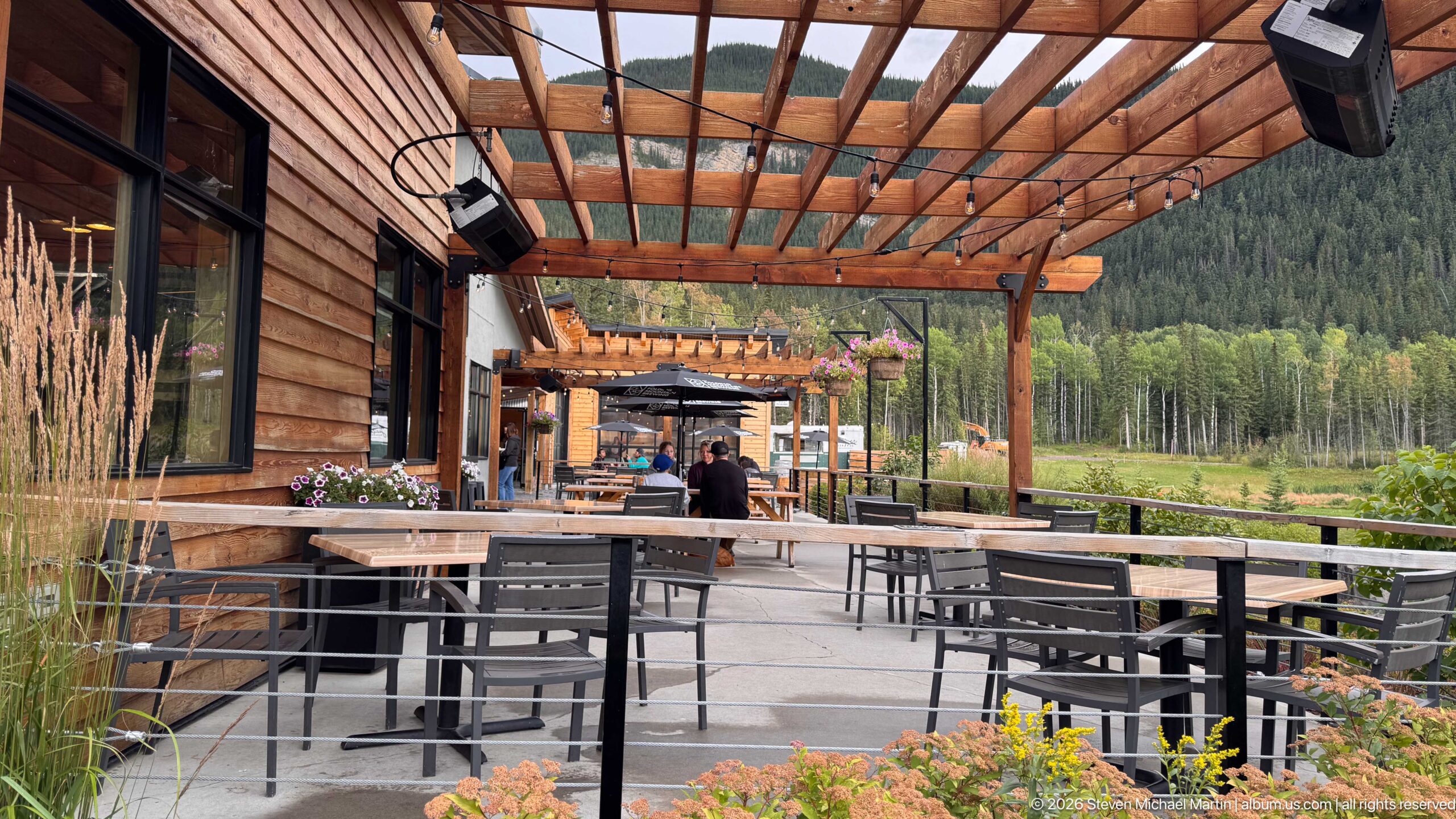
A timber pergola shelters rows of outdoor tables beside a wood-sided building, with flower planters softening the edge of the terrace. The open dining area looks across a grassy, forested mountain setting, documenting a developed hospitality stop along the Jasper journey.
Caption
A timber pergola shelters rows of outdoor tables beside a wood-sided building, with flower planters softening the edge of the terrace. The open dining area looks across a grassy, forested mountain setting, documenting a developed hospitality stop along the Jasper journey.
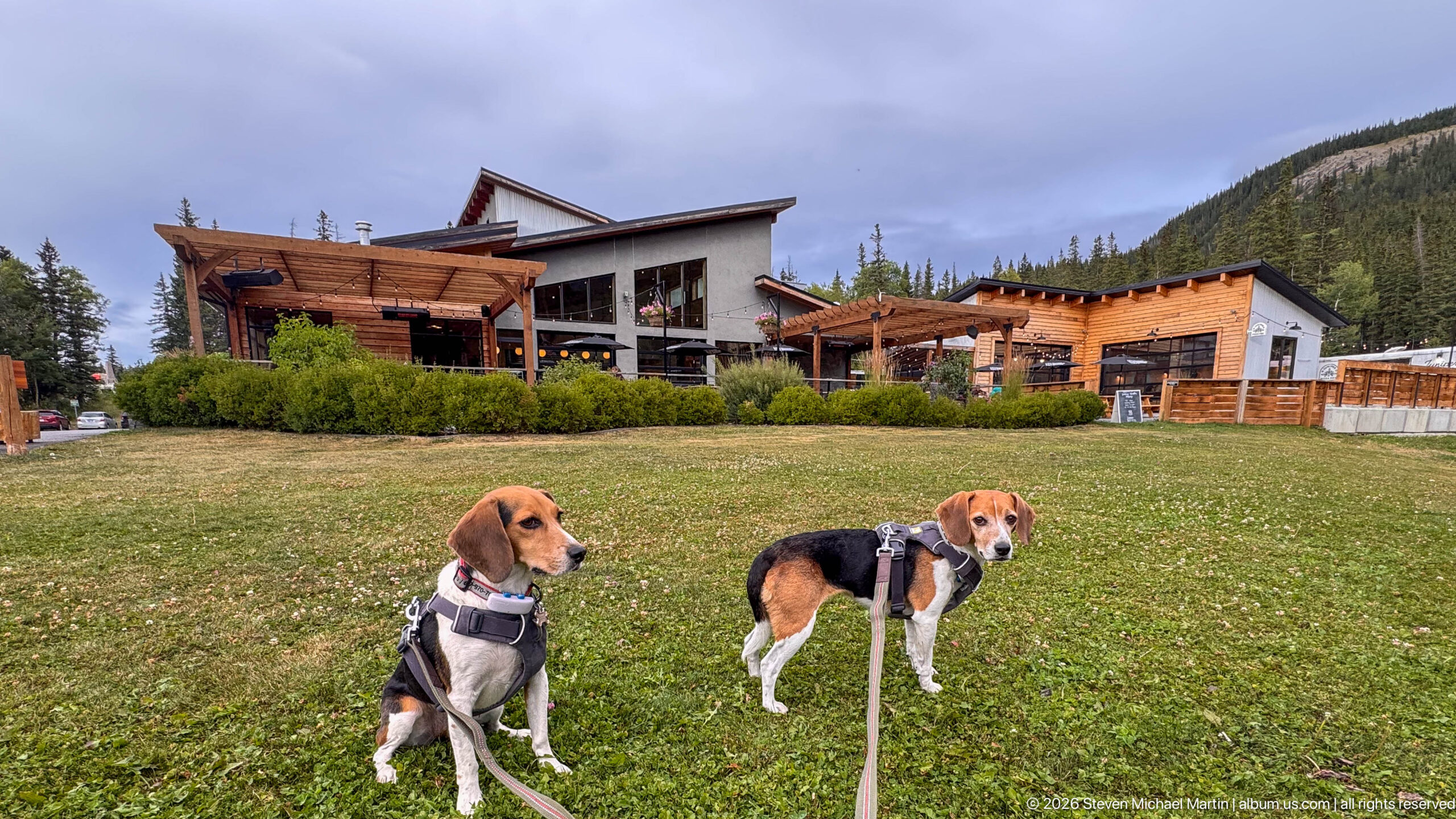
Two beagles wearing harnesses stand on a grassy lawn in front of a large timber-accented building complex. Leashes extend toward the camera, while pergolas, broad windows, and forested mountain slopes establish the developed mountain setting behind them.
Caption
Two beagles wearing harnesses stand on a grassy lawn in front of a large timber-accented building complex. Leashes extend toward the camera, while pergolas, broad windows, and forested mountain slopes establish the developed mountain setting behind them.
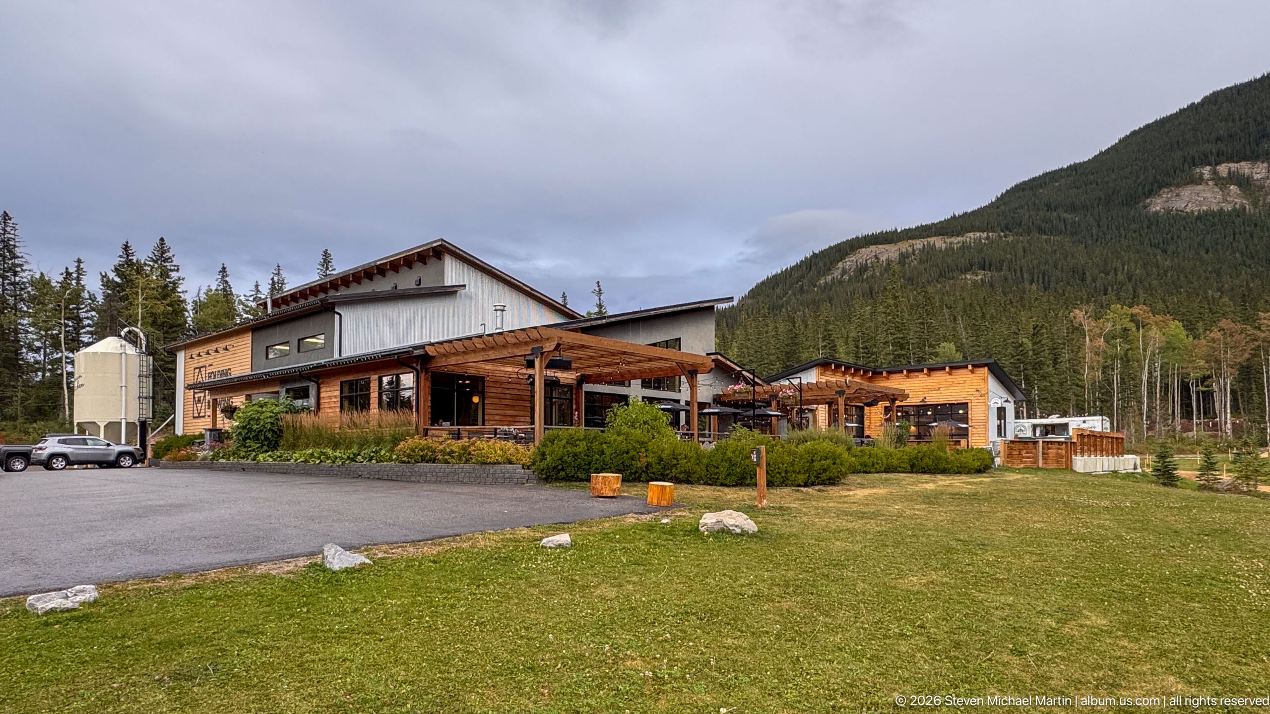
A broad hospitality building combines wood cladding, deep timber canopies, and light-colored wall panels at the foot of a forested mountain slope. A paved forecourt and grassy verge provide a wider architectural view than the adjacent patio photographs.
Caption
A broad hospitality building combines wood cladding, deep timber canopies, and light-colored wall panels at the foot of a forested mountain slope. A paved forecourt and grassy verge provide a wider architectural view than the adjacent patio photographs.
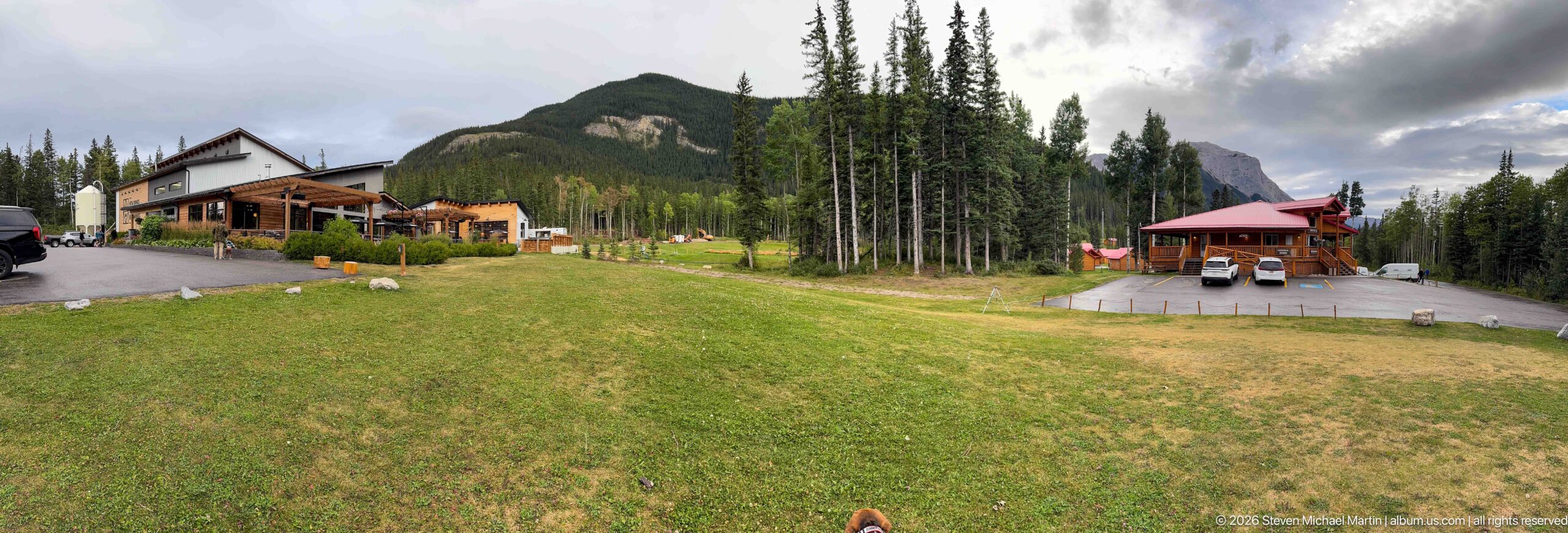
A wide view spans several buildings arranged around an open grassy area, including a timber-accented main structure and a smaller red-roofed pavilion. Tall conifers and forested mountain slopes enclose the complex, placing the developed property within a broad mountain clearing.
Caption
A wide view spans several buildings arranged around an open grassy area, including a timber-accented main structure and a smaller red-roofed pavilion. Tall conifers and forested mountain slopes enclose the complex, placing the developed property within a broad mountain clearing.
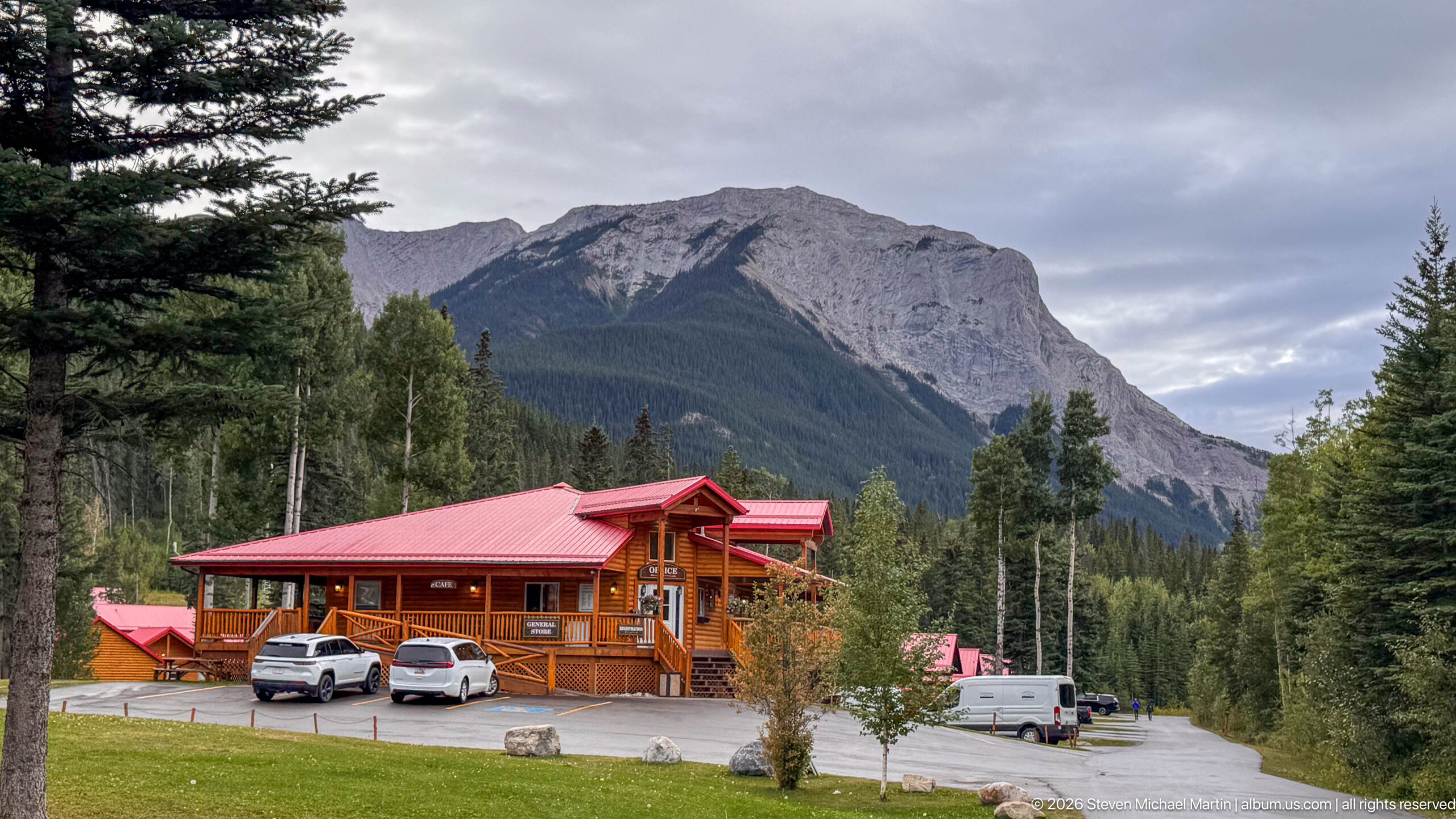
A two-story timber lodge with a bright red metal roof stands at the edge of dense forest beneath an imposing gray mountain. Parked vehicles and smaller outbuildings establish the property as an active hospitality site, while the steep mountain backdrop dominates the setting.
Caption
A two-story timber lodge with a bright red metal roof stands at the edge of dense forest beneath an imposing gray mountain. Parked vehicles and smaller outbuildings establish the property as an active hospitality site, while the steep mountain backdrop dominates the setting.
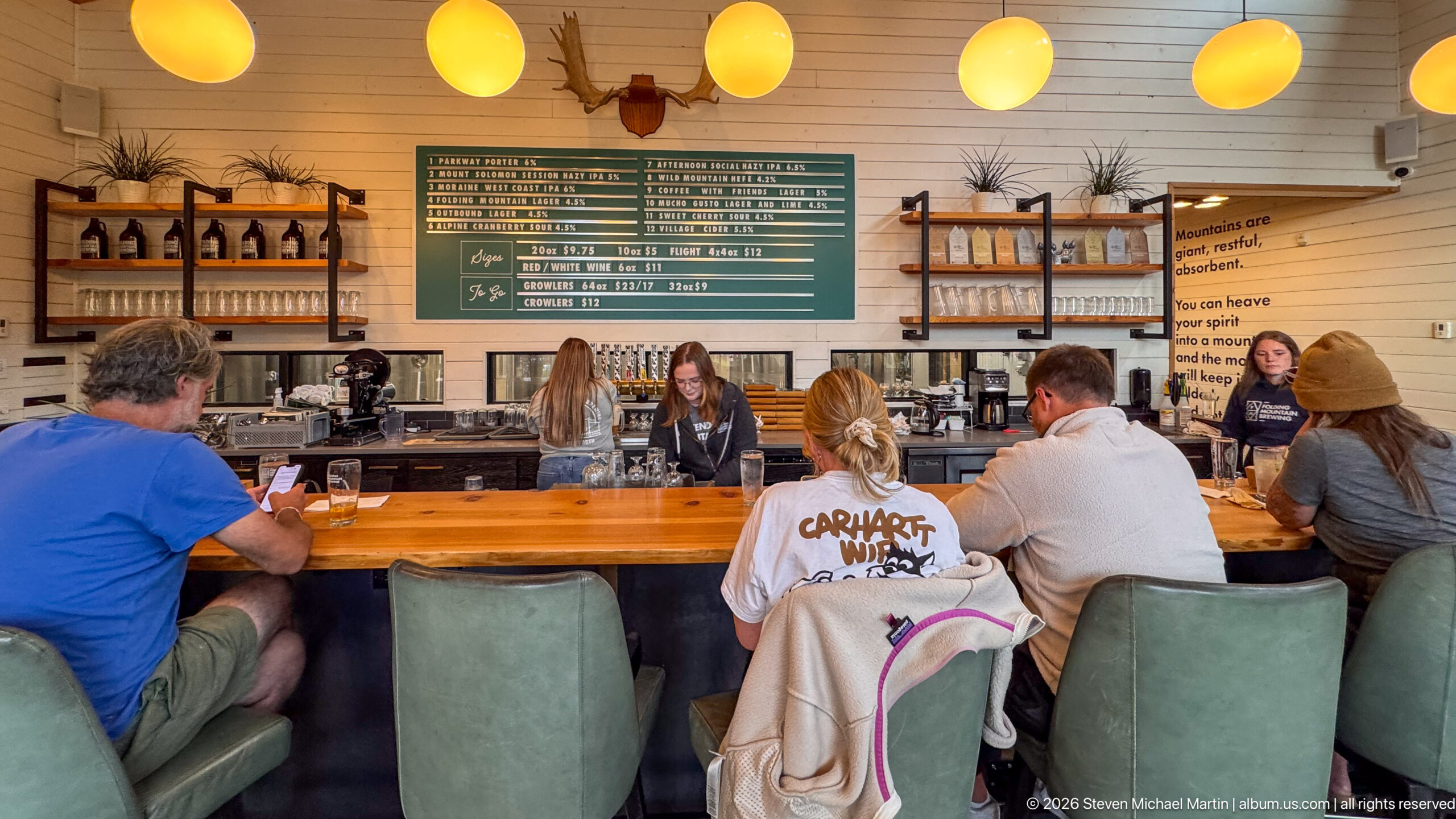
Patrons occupy a long polished wood bar beneath round pendant lights in a bright mountain taproom. A large menu board, bottle shelving, taps, and playful wall lettering define the beverage-service setting, while staff work behind the counter.
Caption
Patrons occupy a long polished wood bar beneath round pendant lights in a bright mountain taproom. A large menu board, bottle shelving, taps, and playful wall lettering define the beverage-service setting, while staff work behind the counter.
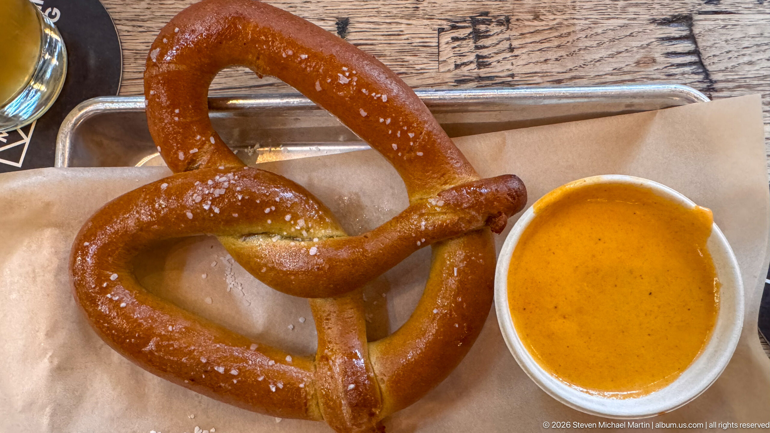
A large glossy soft pretzel fills a metal tray lined with brown paper, its dark baked crust scattered with coarse salt. A small metal cup of orange-brown mustard sits alongside, isolating the simple taproom snack in a close overhead composition.
Caption
A large glossy soft pretzel fills a metal tray lined with brown paper, its dark baked crust scattered with coarse salt. A small metal cup of orange-brown mustard sits alongside, isolating the simple taproom snack in a close overhead composition.
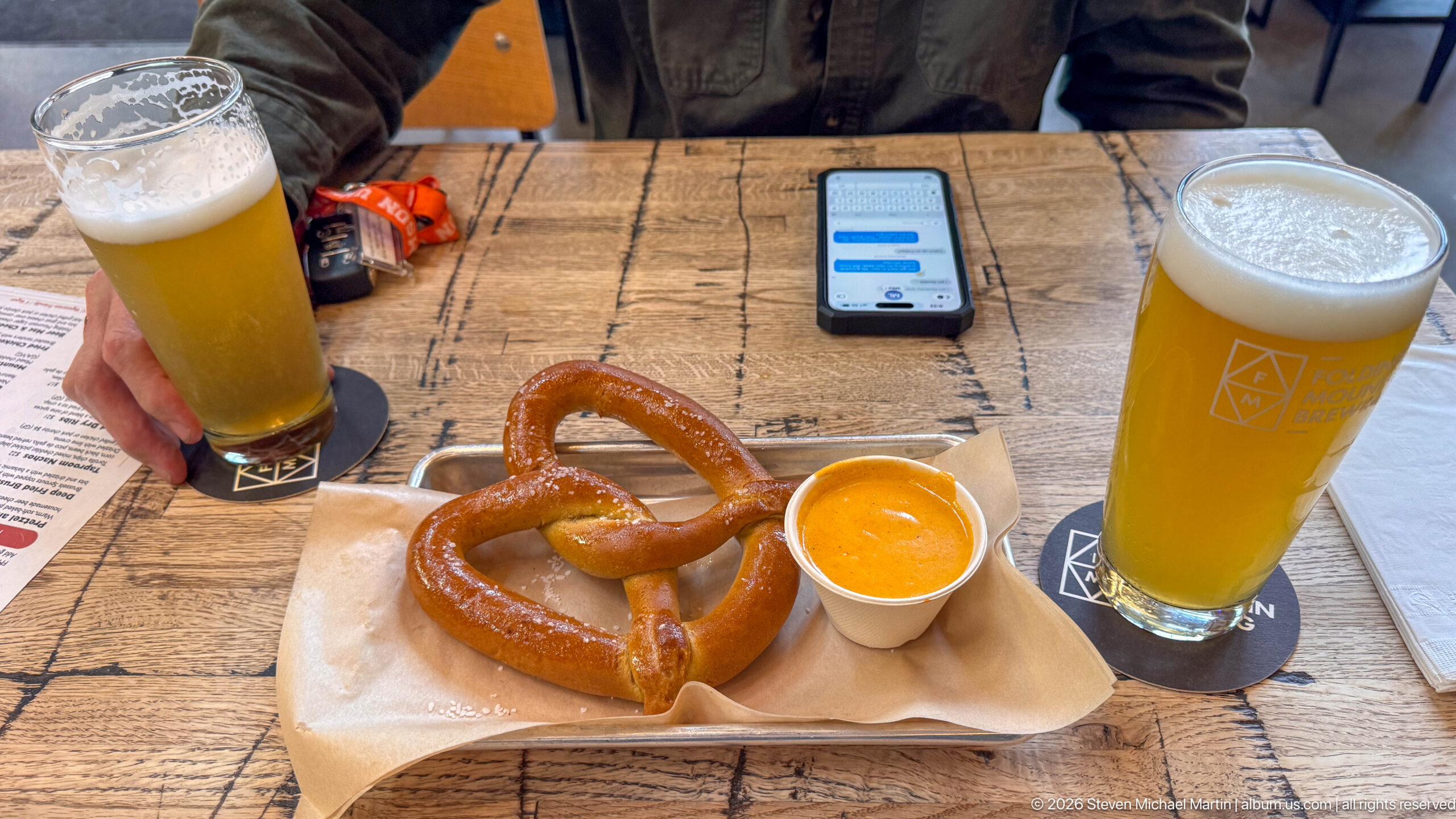
A salted soft pretzel and mustard sit between two tall glasses of pale draft beer on a rustic wood table. One diner reaches toward a glass while a phone rests beyond the tray, turning the close tabletop view into a record of a casual stop during the Jasper-area drive.
Caption
A salted soft pretzel and mustard sit between two tall glasses of pale draft beer on a rustic wood table. One diner reaches toward a glass while a phone rests beyond the tray, turning the close tabletop view into a record of a casual stop during the Jasper-area drive.
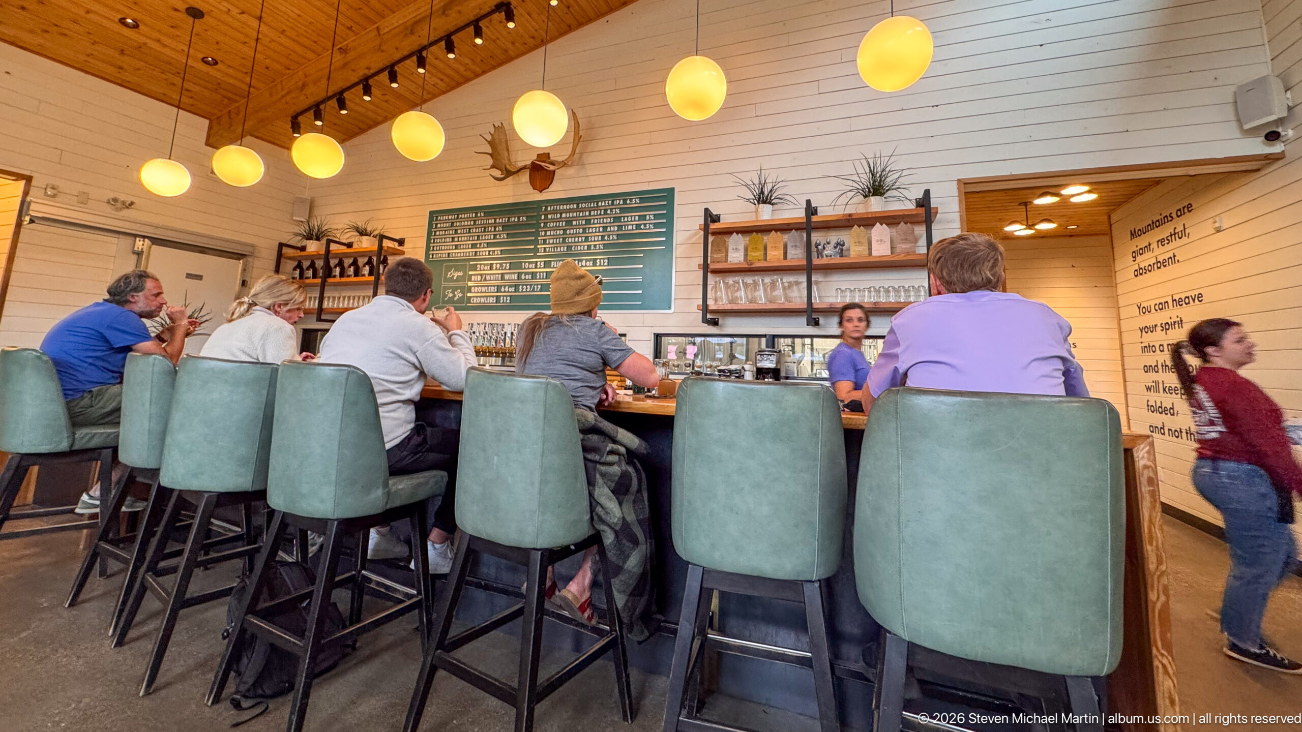
Tall upholstered stools line a long wood bar beneath warm globe lights, with patrons seated shoulder to shoulder and staff working behind the counter. Bottle shelves and a large green menu board reinforce the contemporary brewery or taproom character of the room.
Caption
Tall upholstered stools line a long wood bar beneath warm globe lights, with patrons seated shoulder to shoulder and staff working behind the counter. Bottle shelves and a large green menu board reinforce the contemporary brewery or taproom character of the room.
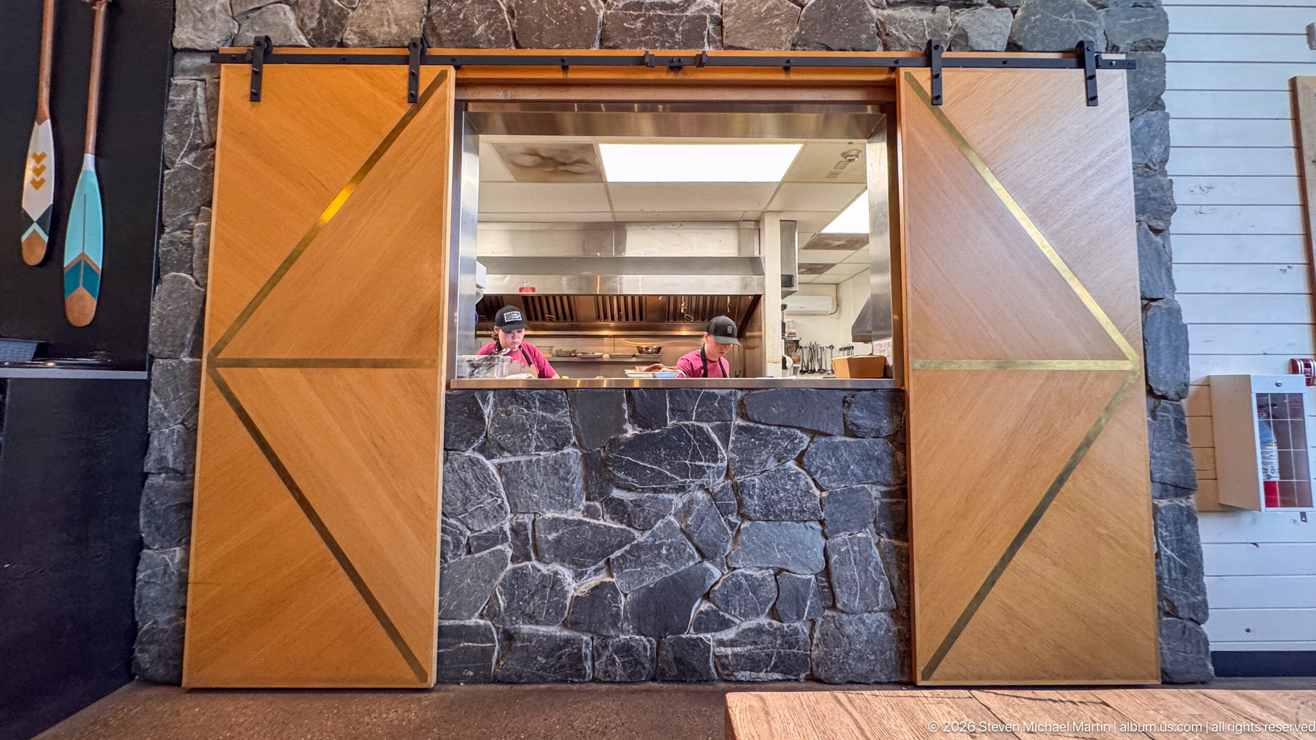
An open kitchen is visible through a service window framed by dark stone masonry and large sliding wooden doors decorated with diagonal inlays. Stainless-steel equipment and kitchen staff appear beyond the opening, combining rustic mountain finishes with a functional restaurant workspace.
Caption
An open kitchen is visible through a service window framed by dark stone masonry and large sliding wooden doors decorated with diagonal inlays. Stainless-steel equipment and kitchen staff appear beyond the opening, combining rustic mountain finishes with a functional restaurant workspace.
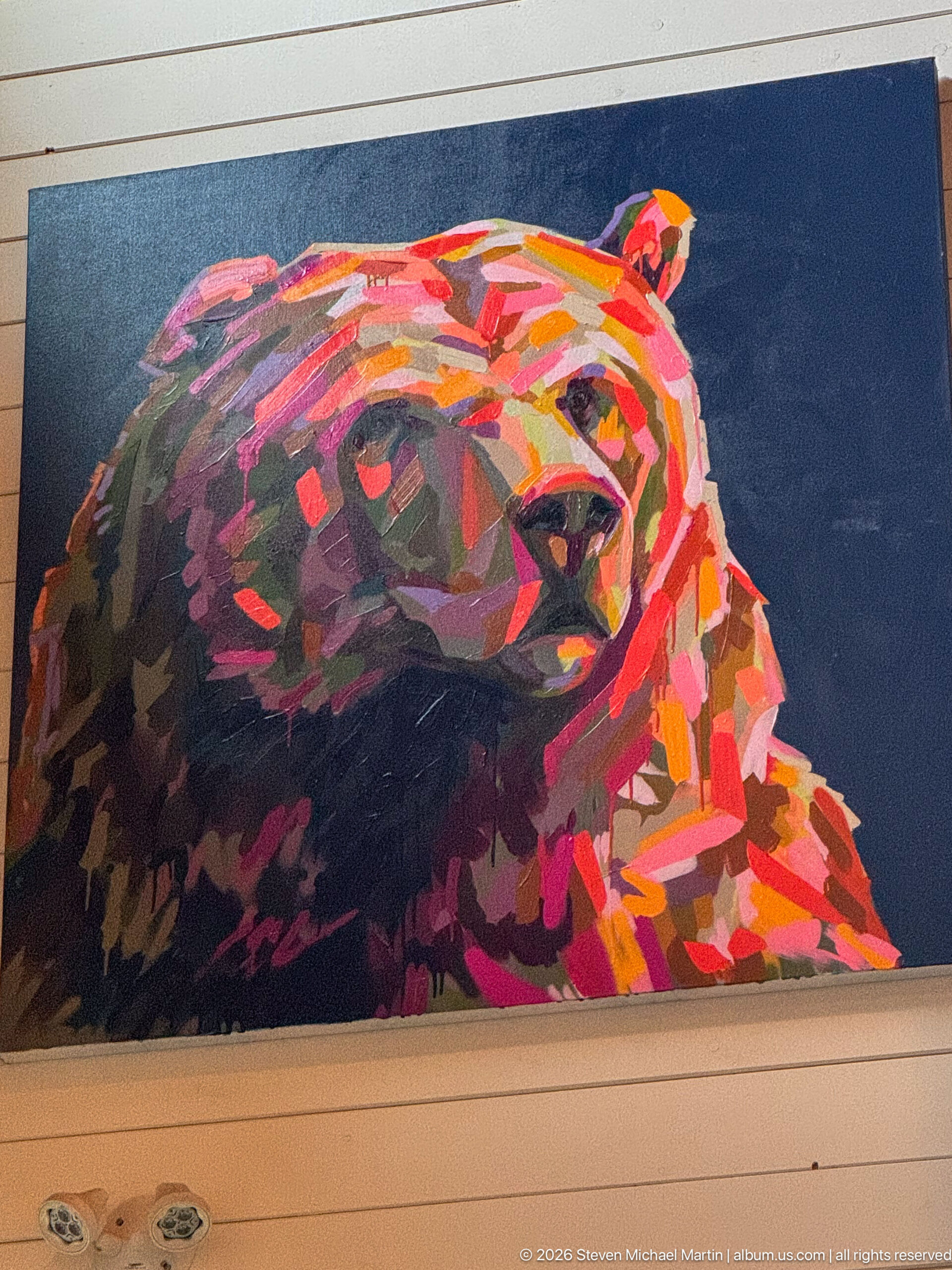
A large rectangular painting presents the head of a bear in layered strokes of red, orange, pink, purple, and dark brown against a deep blue field. The angular, high-contrast treatment turns a familiar Rocky Mountain animal into a bold decorative focal point for the interior.
Caption
A large rectangular painting presents the head of a bear in layered strokes of red, orange, pink, purple, and dark brown against a deep blue field. The angular, high-contrast treatment turns a familiar Rocky Mountain animal into a bold decorative focal point for the interior.
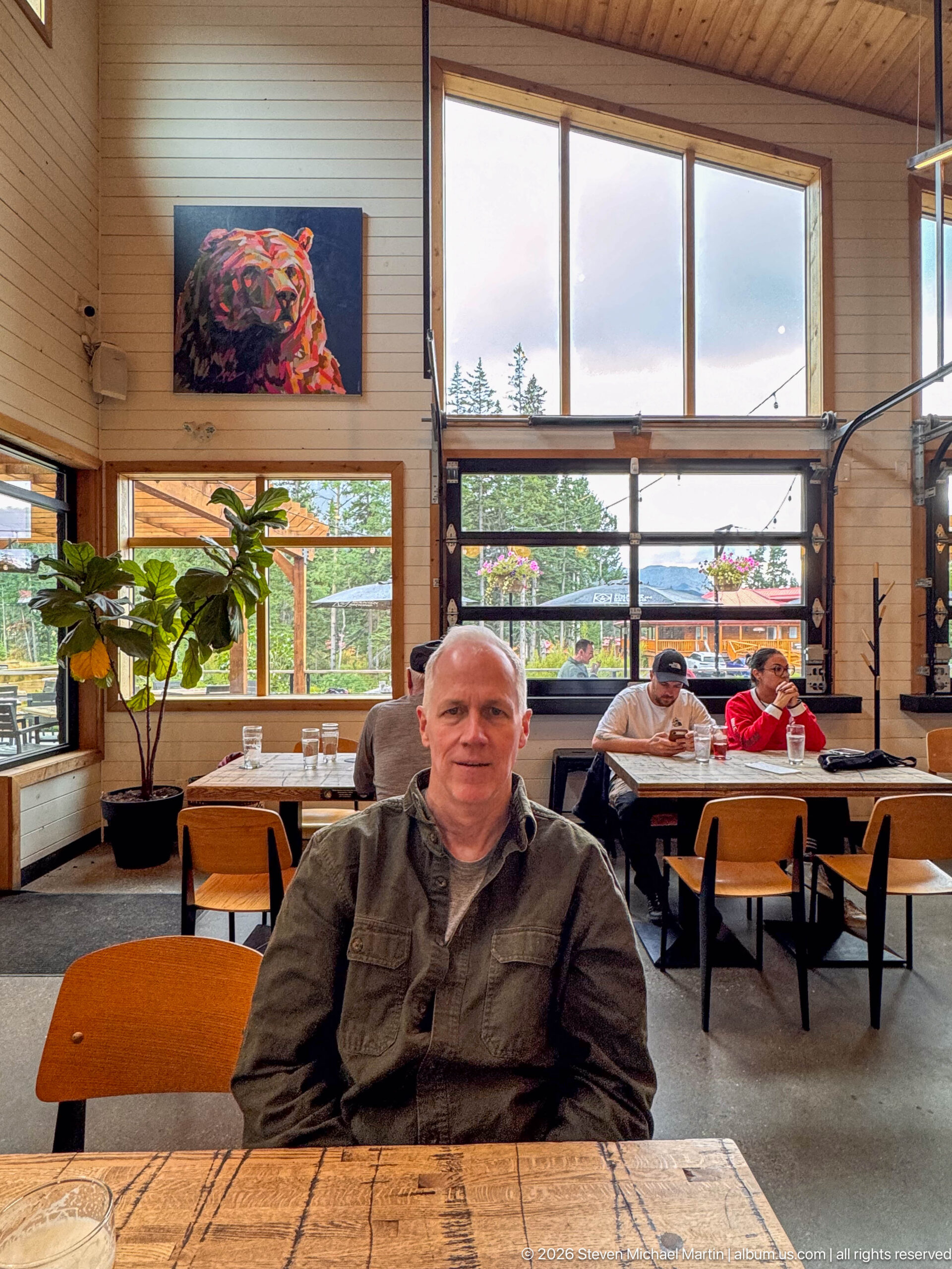
A seated diner faces the camera at a rustic wood table inside the taproom, with broad windows, other patrons, and the colorful bear painting visible behind him. The portrait situates the traveler within the relaxed contemporary interior rather than isolating him from the surrounding dining environment.
Caption
A seated diner faces the camera at a rustic wood table inside the taproom, with broad windows, other patrons, and the colorful bear painting visible behind him. The portrait situates the traveler within the relaxed contemporary interior rather than isolating him from the surrounding dining environment.
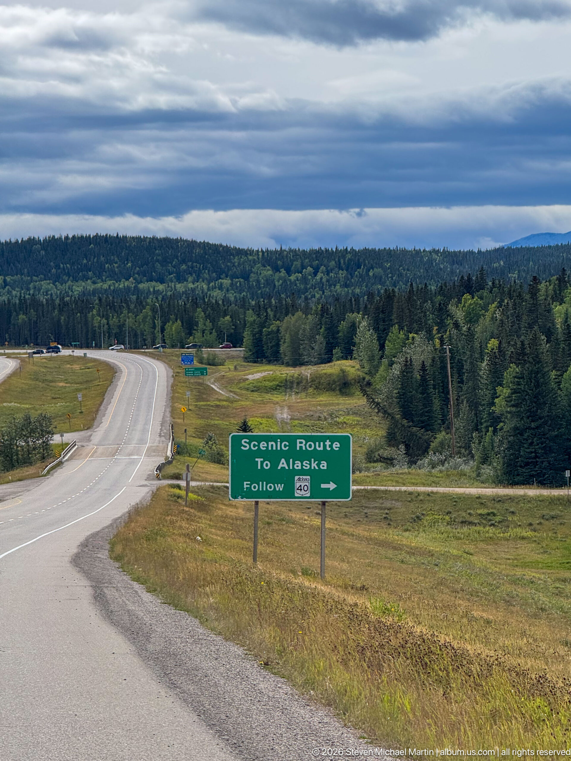
A broad highway curves through open grassland and forest beneath a layered gray sky, with the 'Scenic Route To Alaska' sign standing beside the junction. The wider view places the directional marker within the expansive Alberta road landscape and shows the route choice in context.
Caption
A broad highway curves through open grassland and forest beneath a layered gray sky, with the 'Scenic Route To Alaska' sign standing beside the junction. The wider view places the directional marker within the expansive Alberta road landscape and shows the route choice in context.
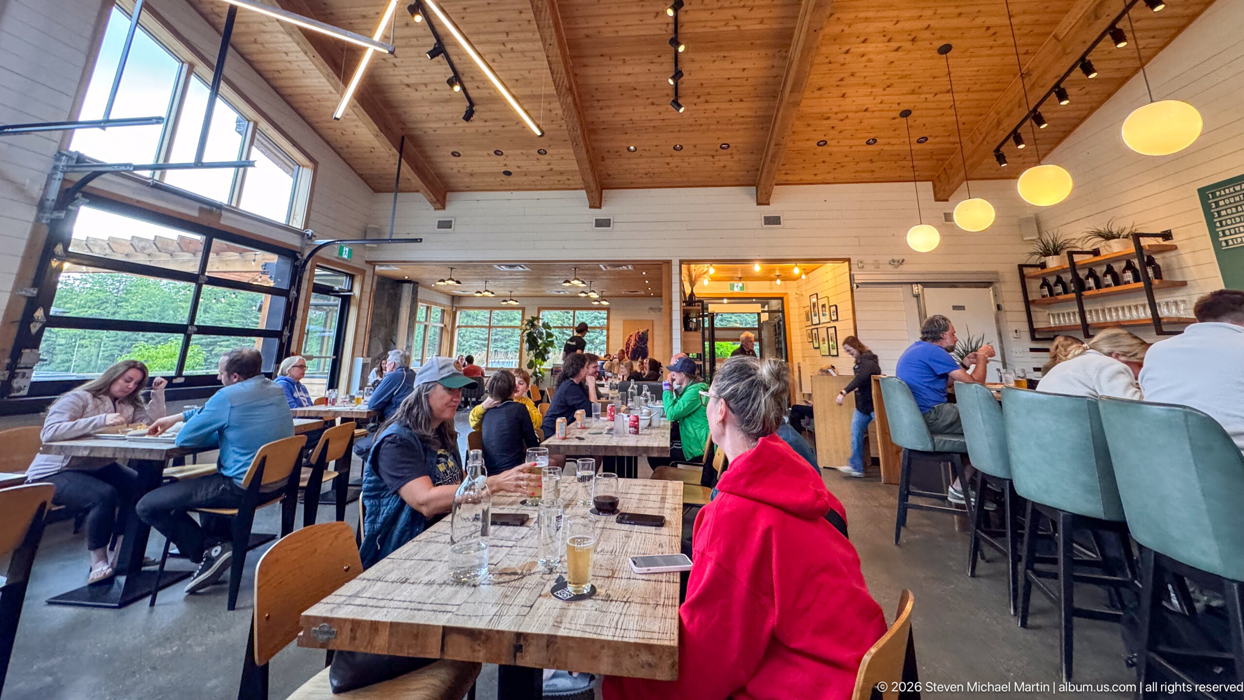
A high timber ceiling spans a lively dining room filled with patrons at communal tables and at the bar. Large windows admit mountain light, while track lighting, globe pendants, wood finishes, and a visible service counter create a warm contemporary lodge atmosphere.
Caption
A high timber ceiling spans a lively dining room filled with patrons at communal tables and at the bar. Large windows admit mountain light, while track lighting, globe pendants, wood finishes, and a visible service counter create a warm contemporary lodge atmosphere.
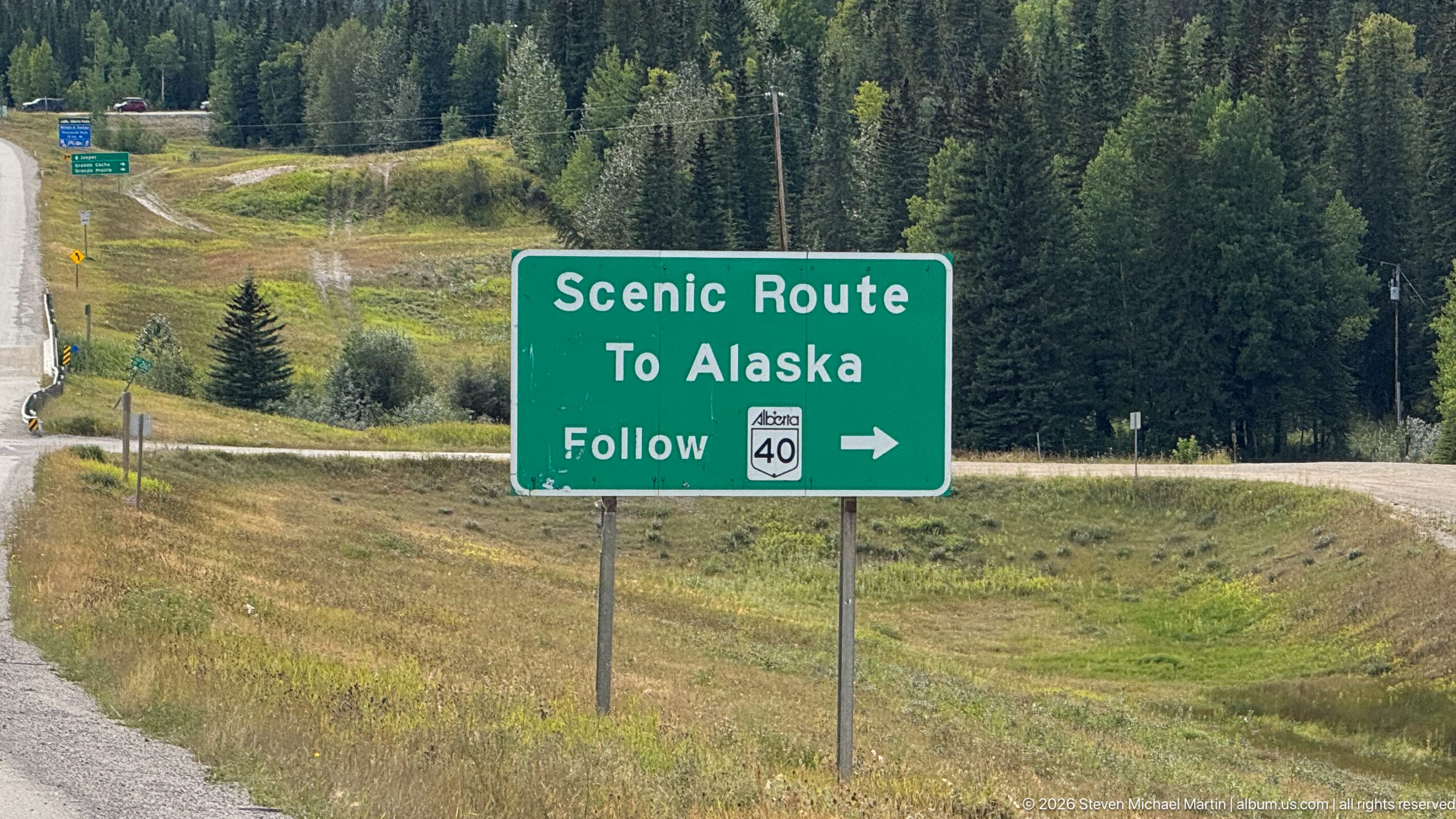
A green roadside sign reads 'Scenic Route To Alaska' and directs drivers to follow Alberta Highway 40 to the right. Forest and rolling roadside terrain surround the junction, providing a clear geographic marker along the westward road journey.
Caption
A green roadside sign reads 'Scenic Route To Alaska' and directs drivers to follow Alberta Highway 40 to the right. Forest and rolling roadside terrain surround the junction, providing a clear geographic marker along the westward road journey.
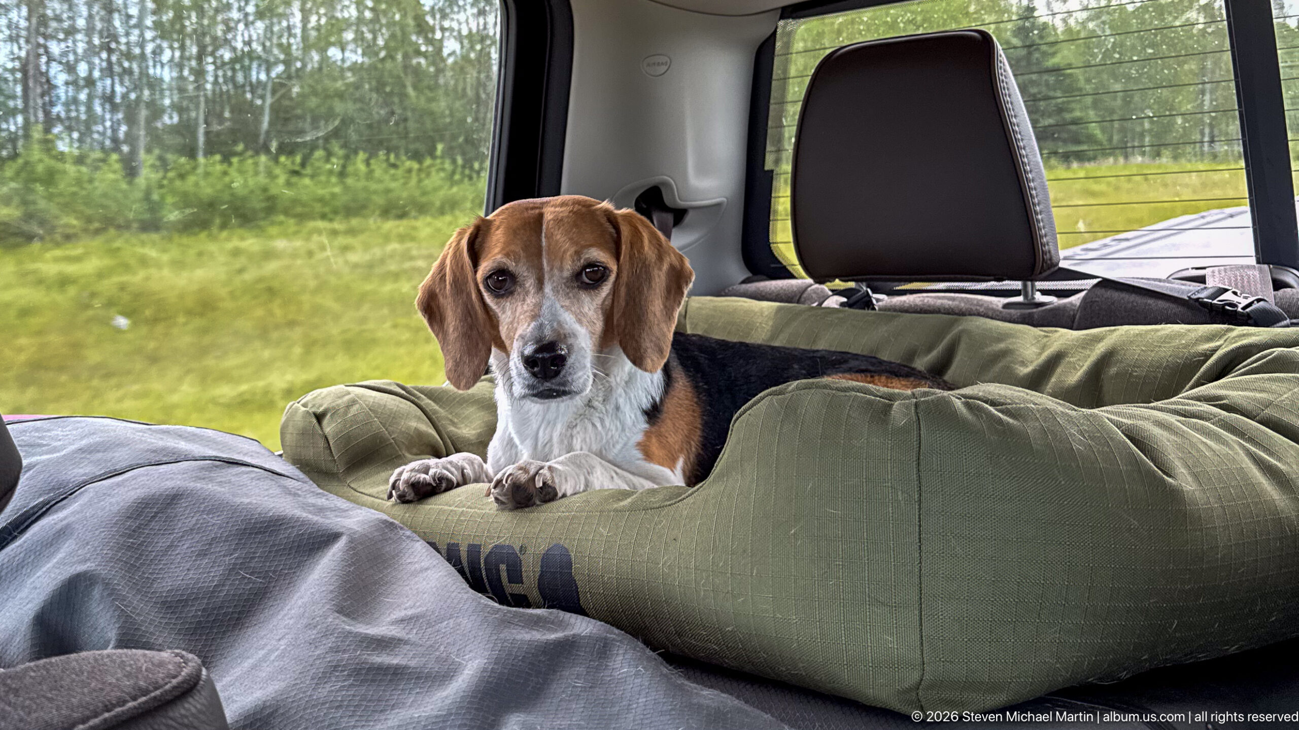
A beagle rests with its front paws over the edge of a large green padded dog bed in the rear of a vehicle. The dog looks directly toward the camera while the window reveals roadside grass and trees outside, documenting comfortable pet travel between stops.
Caption
A beagle rests with its front paws over the edge of a large green padded dog bed in the rear of a vehicle. The dog looks directly toward the camera while the window reveals roadside grass and trees outside, documenting comfortable pet travel between stops.
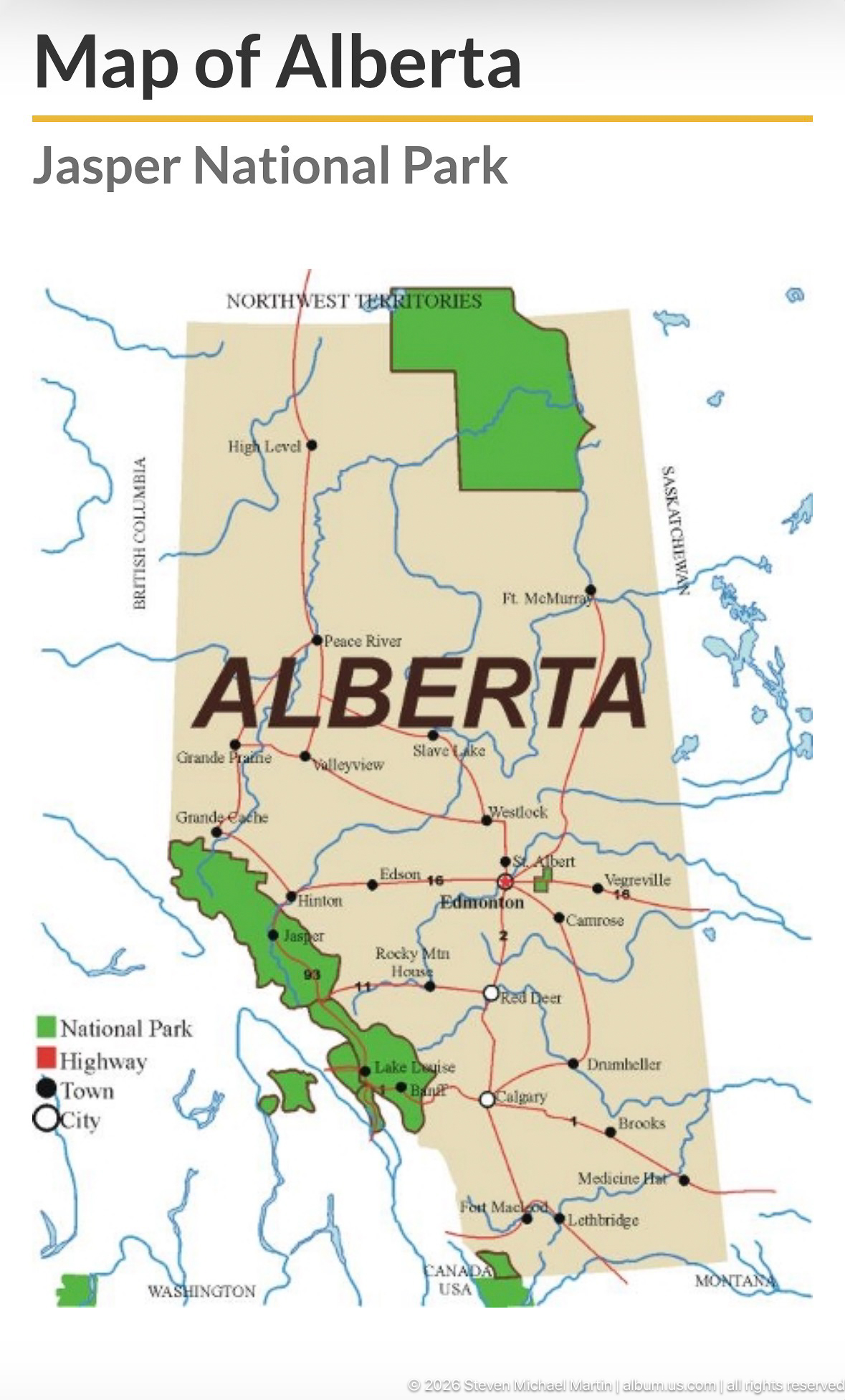
A printed map of Alberta highlights national parks in green and major highways in red, with the province name prominently centered across the page. The map provides broad geographic context for the Jasper journey by locating protected areas within the provincial road network.
Caption
A printed map of Alberta highlights national parks in green and major highways in red, with the province name prominently centered across the page. The map provides broad geographic context for the Jasper journey by locating protected areas within the provincial road network.
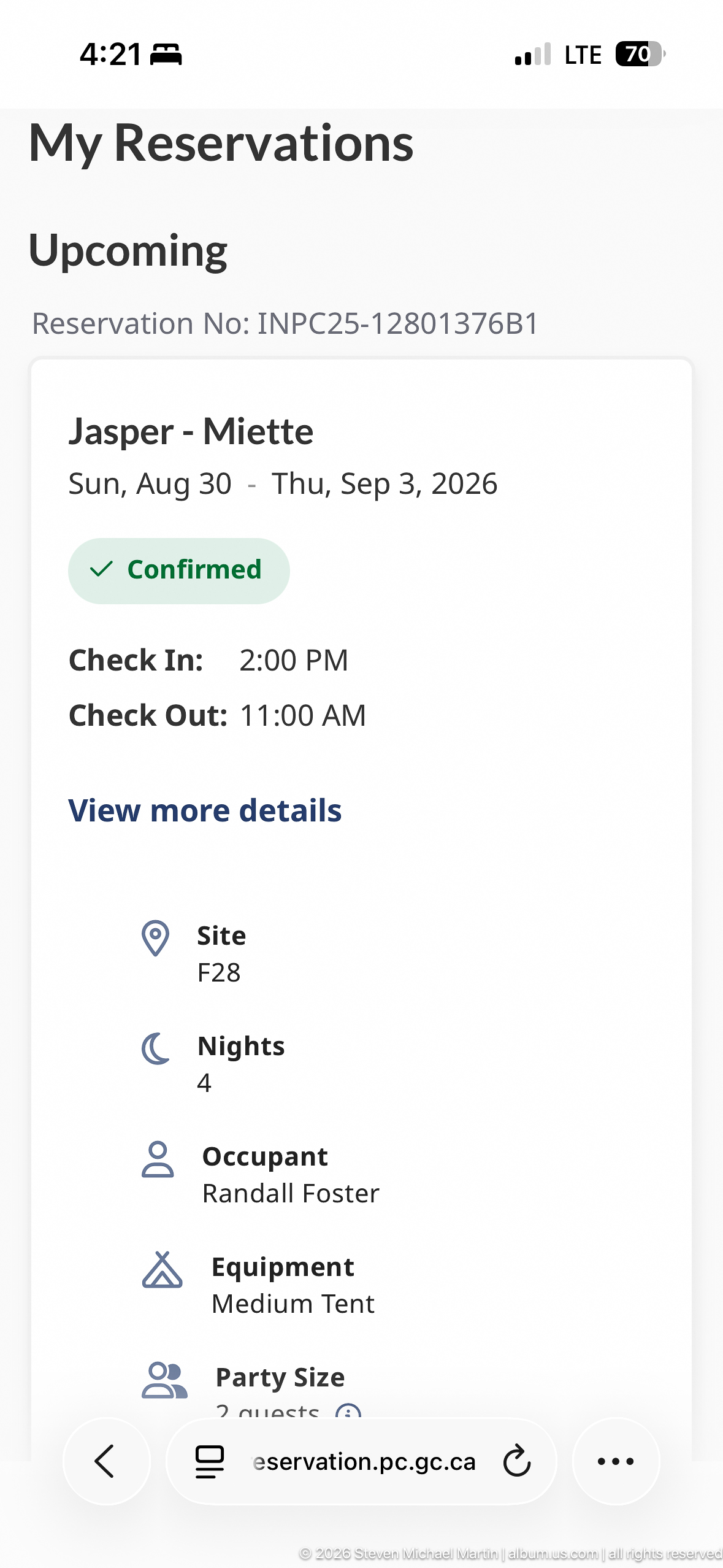
A smartphone screen shows a confirmed 'Jasper - Miette' reservation for two nights, with check-in and check-out dates, site information, reservation number, equipment type, and party size listed below. The screen documents the practical camping arrangements associated with the Miette portion of the Jasper trip.
Caption
A smartphone screen shows a confirmed 'Jasper - Miette' reservation for two nights, with check-in and check-out dates, site information, reservation number, equipment type, and party size listed below. The screen documents the practical camping arrangements associated with the Miette portion of the Jasper trip.
🏞️ National Park Field Guide
📍 Overview
Miette Hot Springs and the Fiddle River valley reveal a quieter, geologically expressive corner of northeastern Jasper National Park. The journey from the Yellowhead Highway follows Miette Road into an increasingly confined mountain corridor where forest, river channels, exposed sedimentary rock, steep ridges, and thermal water are parts of the same evolving landscape. At the destination, naturally heated mineral water emerges at approximately 54°C before being cooled for the developed bathing pools. Miette is therefore more than a hot-springs stop: it is a place where groundwater, mountain building, erosion, river action, and human use can be read together in the landscape.
🏔️ Landscape
The Fiddle River valley forms the geographic spine of the Miette experience. From the broader Yellowhead Highway corridor, the approach progresses into a narrower Rocky Mountain valley framed by conifer forest, exposed rock, cliffs, and high ridges. The Fiddle River and its tributaries occupy the valley floor, where flowing water continues to move sediment and reshape channels, banks, and gravel bars. This contrast between forested lower slopes, pale sedimentary rock, moving water, and steep mountain walls gives the corridor much of its visual character. Sulphur Creek is associated with the natural thermal-spring source and the historic hot-spring area, while the surrounding landscape remains part of the larger mountain system of Jasper National Park.
🪨 Geology
Miette’s landscape is the product of both ancient rock deformation and continuing erosion. Thick sequences of sedimentary rock were uplifted and deformed during the formation of the Canadian Rocky Mountains, producing the folded, faulted, and tilted strata exposed in the area’s ridges and cliffs. Repeated Pleistocene glaciations helped carve the larger valley forms, while rivers and tributary streams continue the work on a smaller scale by cutting channels and transporting sediment. The thermal springs add a less obvious but especially important geological process. Groundwater circulates to depth through fractures and permeable rock, is heated geothermally, and returns toward the surface through pathways in the mountain bedrock. At Miette, that water reaches the surface at about 54°C, making it the hottest of the developed hot springs in the Canadian Rockies before cooling for bathing.
🌿 Ecology
The Miette and Fiddle River corridor crosses a mosaic of montane and subalpine Rocky Mountain habitats. Conifer forest covers much of the lower terrain, while riparian vegetation follows the Fiddle River and tributary streams and differs structurally from the surrounding forest. Rocky slopes, cliffs, gravel bars, and open mountain terrain add further habitat diversity. Jasper National Park supports large mammals including elk, mule deer, white-tailed deer, bighorn sheep, mountain goats, black bears, grizzly bears, wolves, and coyotes. Bighorn sheep are associated with rocky terrain and exposed or mineral-rich areas, but the ecological significance of Miette extends beyond individual species: water, elevation, vegetation, exposed rock, and active river processes combine to create a varied mountain environment within a relatively narrow valley.
🦌 Wildlife
Wildlife in the Miette region should be understood in relation to the diversity of habitats along the Fiddle River corridor rather than as a guaranteed part of every visit. Jasper National Park supports an extensive community of large mammals, including elk, deer, bighorn sheep, mountain goats, black and grizzly bears, wolves, and coyotes. Rocky slopes and open terrain provide habitat distinct from the conifer forest and riparian zones along rivers and tributaries. Bighorn sheep are particularly associated with rocky mountain terrain and exposed areas, while the park’s bears can occur in a range of settings and black bears can vary considerably in coat color. Observing wildlife responsibly therefore depends on attention to habitat and visible characteristics rather than assumptions based simply on location.
🧭 Human History
Human use of the Miette landscape predates the modern national park. Indigenous Peoples travelled through and used the region, including its naturally heated mineral springs, before later exploration and travel brought newcomers into the valley. Hot-spring recreation eventually transformed the naturally occurring thermal waters into an organized national-park destination during the twentieth century, and historic remains associated with earlier bathing facilities preserve part of that history. Nearby Pocahontas represents a different chapter in the northeastern Jasper landscape: coal mining and settlement rather than recreation. Together, the mining district and hot springs illustrate contrasting ways people have used this mountain environment. Miette Hot Springs lies within Jasper National Park, one of the protected areas forming the Canadian Rocky Mountain Parks UNESCO World Heritage Site; the designation recognizes the broader natural values of the mountain landscape rather than the bathing complex as a separately inscribed site.
🥾 Visitor Experience
The approach is an important part of the Miette experience. Leaving the Yellowhead Highway, Miette Road follows the Fiddle River valley as the surrounding terrain becomes increasingly mountainous and enclosed. River channels, gravel bars, forest, exposed sedimentary strata, and steep ridges provide repeated opportunities to see geological processes at landscape scale before reaching the developed hot springs. At Miette, visitor infrastructure occupies a dramatic mountain setting while the thermal water connects the recreational experience directly to the geology beneath it. Looking beyond the pools—to the surrounding cliffs, drainage corridors, exposed rock, and the Sulphur Creek area—turns a visit centered on bathing into a broader encounter with the physical processes that created and continue to modify this part of Jasper National Park.
📷 Photography Notes
The strongest photographs in the Miette corridor use the road, river, or valley floor to lead the eye toward steep Rocky Mountain slopes and ridges. Wide views can show the relationship among river incision, gravel bars, forested lower slopes, exposed sedimentary strata, and high mountain walls, while closer studies of bedrock can emphasize bedding, folding, fractures, and erosion surfaces. Around Miette Hot Springs, compositions that place buildings, signs, pools, or historic remains within their mountain setting communicate more about the site’s character than isolated details alone. Thermal-water outlets, mineral deposits, spring channels, and historic infrastructure can provide closer geological and historical studies where visible. Changing light across pale rock and dark conifer forest can further reveal the structure and scale of the landscape.