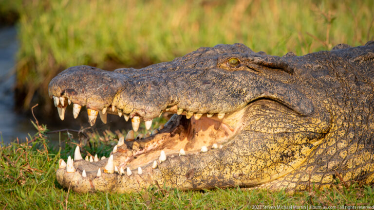
Chobe and Zambezi Rivers
Zambezi River – Southern Africa The mighty Zambezi River flows for more than 2,500 kilometers across the landscapes of southern […]
Explore Portfolio
Zambia occupies a central position within southern Africa, defined by extensive river systems, plateau landscapes, and ecosystems shaped by seasonal rainfall patterns. Much of the country lies within the watershed of the Zambezi River, one of Africa’s most significant waterways, which influences regional biodiversity and supports habitats ranging from floodplains to woodland savanna. These natural systems form part of a broader environmental network that extends across multiple countries in southern Africa.
The powerful flow of the Zambezi River has played an important role in shaping the geography and ecology of the region, supporting wildlife populations and sustaining communities along its banks. The river’s seasonal flood cycles create fertile environments that sustain vegetation and contribute to the diversity of species found throughout the Zambezi basin. As the fourth-longest river in Africa, the Zambezi connects inland plateaus to the Indian Ocean and includes some of the continent’s most dramatic natural landscapes along its course.
The Zambezi also serves as a geographic link between several protected environments in southern Africa, connecting ecosystems that support elephants, antelope, birdlife, and other species adapted to riverine habitats. Observations along the Zambezi River illustrate the importance of water systems in sustaining biodiversity across the region, reinforcing the interconnected nature of Africa’s landscapes and the environmental continuity shared among neighboring countries.
The following itineraries include locations in this country:
