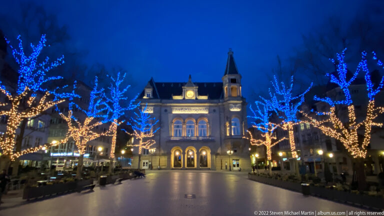
Luxembourg City
Luxembourg City – Luxembourg Luxembourg City stands at the confluence of the Alzette and Pétrusse Rivers in a landscape of […]
Explore Portfolio
Luxembourg’s landscape is defined by dramatic river valleys, elevated plateaus, and fortified historic settlements that reflect the country’s strategic importance within western Europe. Situated between larger neighboring powers including France, Germany, and Belgium, Luxembourg developed as a key defensive territory whose fortifications played an important role in regional political history. The capital city preserves extensive remains of defensive walls and fortifications that illustrate the evolution of military architecture over many centuries.
The Luxembourg City portfolio highlights the distinctive topography of a capital constructed across steep cliffs and river gorges, where defensive advantages shaped urban development. Elevated viewpoints reveal how natural geography influenced the placement of fortifications, bridges, and civic buildings that contributed to Luxembourg’s reputation as one of Europe’s most heavily fortified cities.
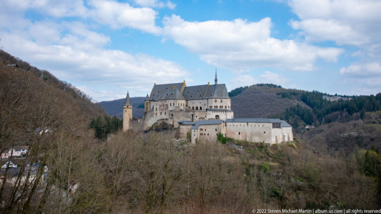
Additional historic environments documented in Vianden and Esch-sur-Sûre further illustrate the relationship between medieval castle construction and rugged terrain. Hilltop castles overlooking narrow valleys demonstrate how geography shaped defensive strategies and settlement patterns throughout the region. Photographing Luxembourg emphasizes the visual contrast between natural landscapes and carefully preserved historic architecture that reflects the country’s enduring strategic importance within Europe.
The following itineraries include locations in this country:
