Manitoba Prairie
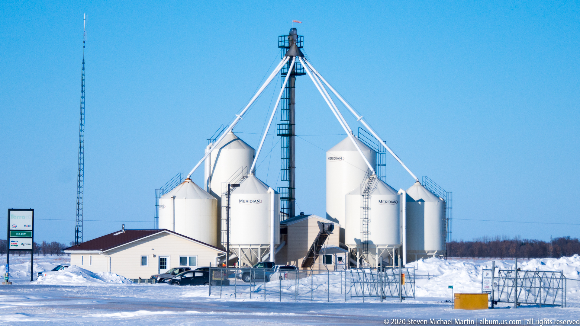
The Manitoba prairie illustrates the defining landscape of central Canada, where expansive horizons and fertile soils have shaped agricultural development and patterns of settlement for more than a century. Formed by glacial retreat following the last Ice Age, the region became a temperate grassland environment supporting both native ecosystems and large-scale farming. Today the prairie remains one of Canada’s most productive agricultural regions, often referred to as part of the country’s “breadbasket.”
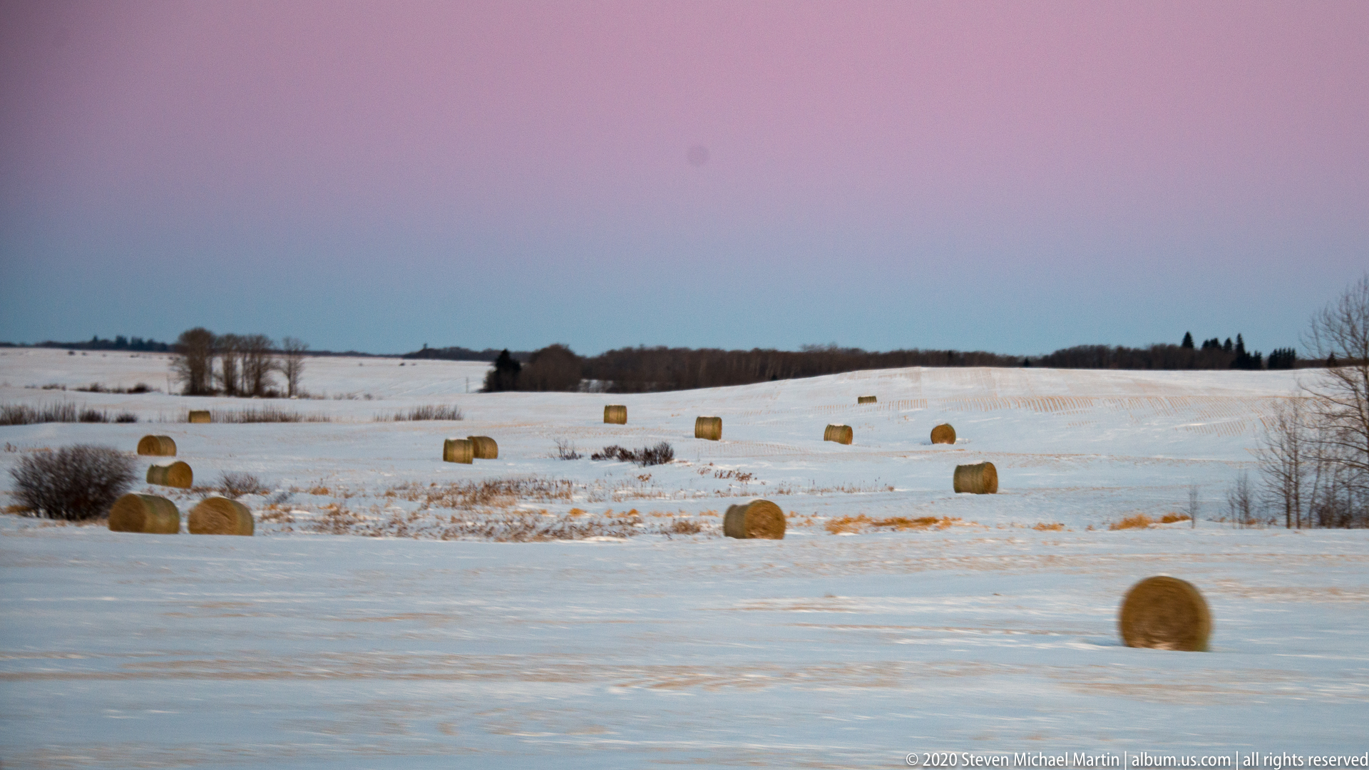
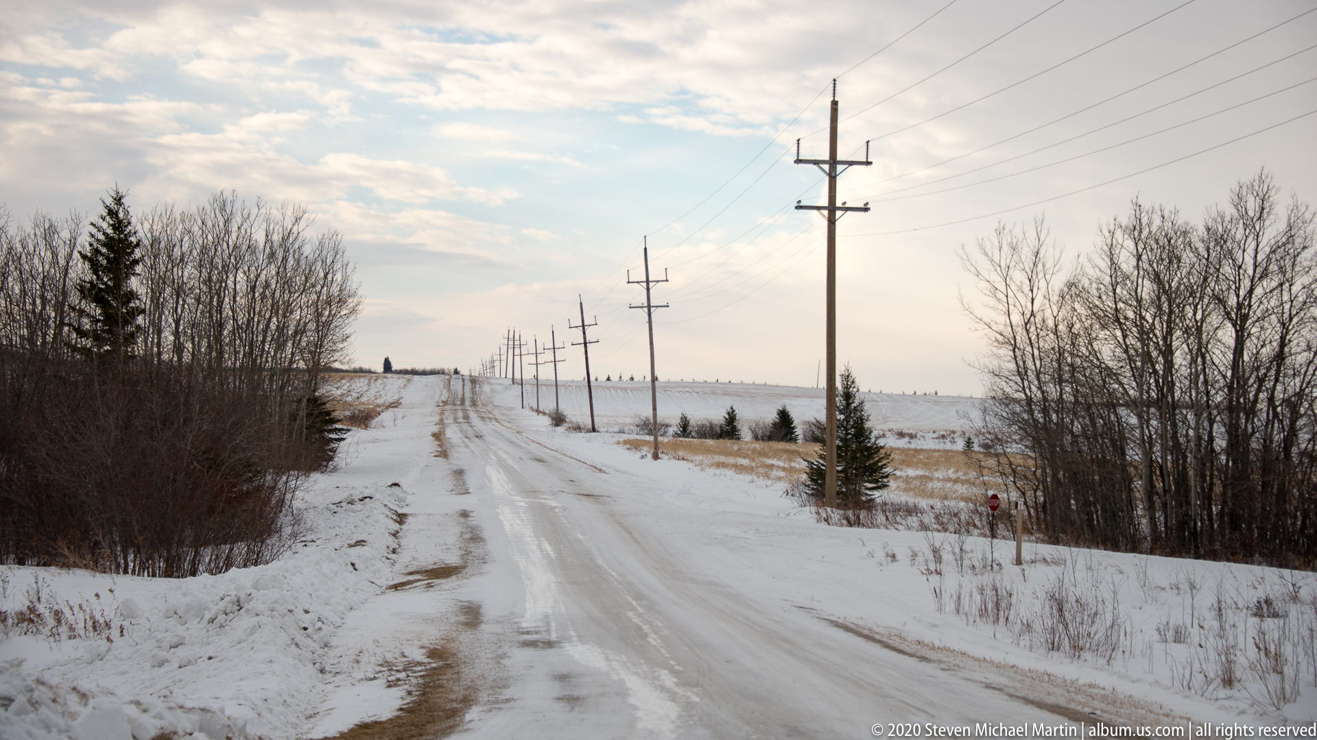
The visual character of the prairie is defined by its sense of scale, where open skies and distant horizons emphasize the subtle variations of terrain shaped by ancient lakebeds and sediment deposits. Seasonal changes influence the appearance of the landscape, from green growth in spring to golden fields in late summer and snow-covered plains in winter. These environmental conditions illustrate how climate and geography continue to influence economic activity and daily life across the interior of North America.
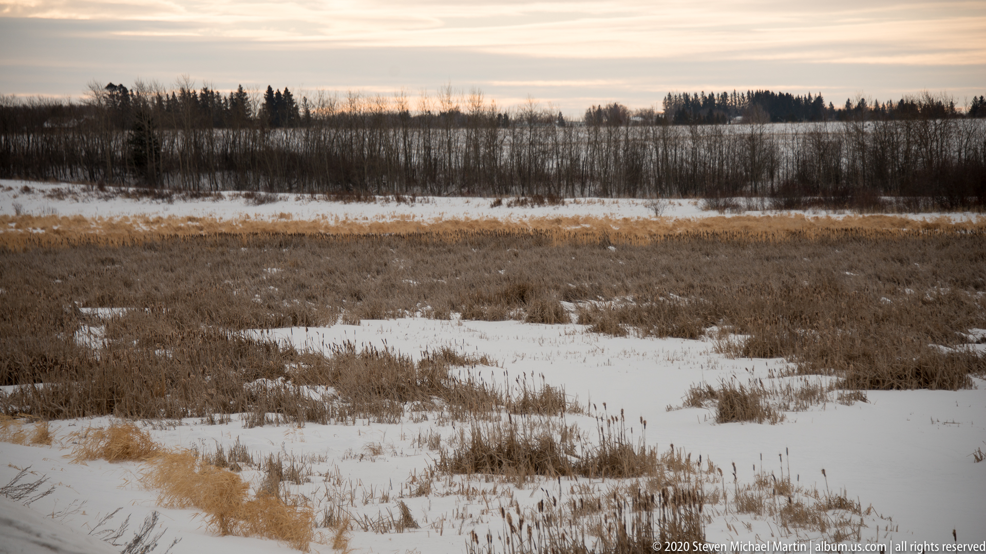
Observing the Manitoba prairie provides insight into one of the continent’s most distinctive ecological regions, where grassland ecosystems transition toward forest environments farther north and east. The landscape demonstrates how natural forces such as glaciation, climate, and soil formation contributed to the development of communities across western Canada, creating a geographic identity strongly associated with openness, distance, and agricultural tradition.